Mountain hikes Alpenrosenweg

St. Christoph am Arlberg / Verwall
Difficulty ratings: medium
Route length: 5.0 km
Duration: 1:45 h

Alpenrosenweg

Tour information

  • Requirement: medium
  • Length: 5.0 km
  • Duration: 1:45 h
  • Elevation uphill:128 hm
  • Elevation downhill:365 hm
Highest point2,115 m

Starting point

Arlberg WellCom

Finishing point

Rendlalm

Features

  • Suitable for families

Best time of year

  • January
  • February
  • March
  • April
  • May
  • June
  • July
  • August
  • September
  • October
  • November
  • December

Trail condition

Gravel and hiking trail.
Source: St. Anton am Arlberg (Region)

Description

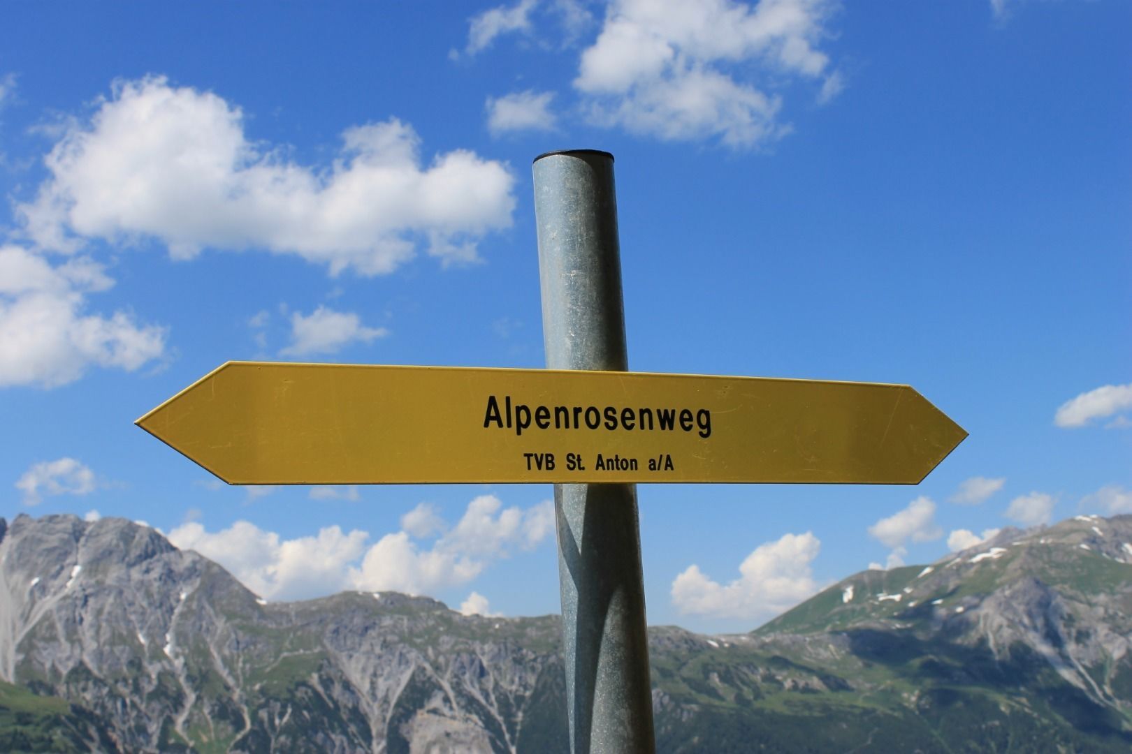
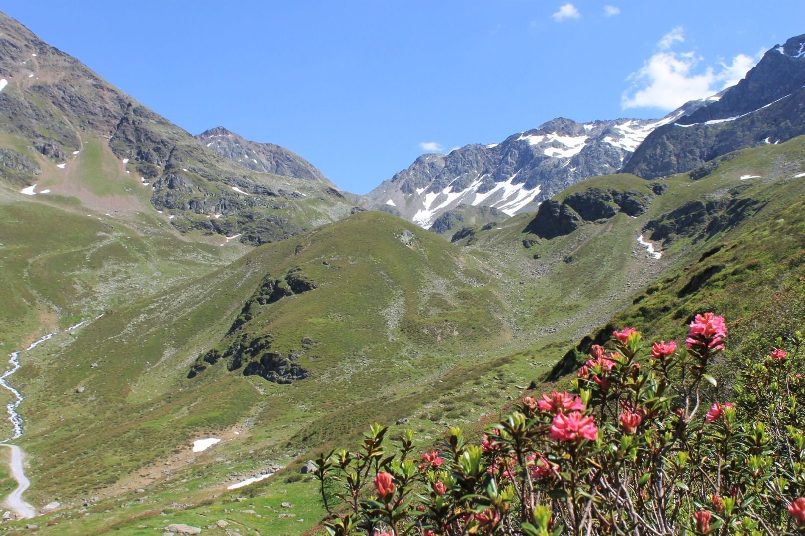
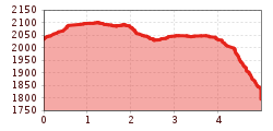
From the mountain station of the Rendlbahn, descend a short distance on the farm road until the marked hiking trail branches off to the left. From here you have a beautiful view of the Verwall glaciers. Without any notable differences in altitude, you hike comfortably and with great views in a north-easterly direction. After about an hour you will reach a goods road, cross the Stockibach and walk past avalanche barriers. From the Höhenweg, the trail, still known as the “Alpenrosenweg”, branches off to the left and you reach the serviced Rendlalm.

Nearby huts and mountain restaurants

Getting here

  • Arrival by public transport

    Bus or train.

  • Parking

    At the Terminal West.

More tours in the surrounding area

Newsletter

The mountain is calling? So does our newsletter!

In our monthly newsletter we reveal the best holiday tips for Tyrol.