
Place:
Stuben am Arlberg
:
Alpine pasture / hut / mountain restaurant
Berggeistweg
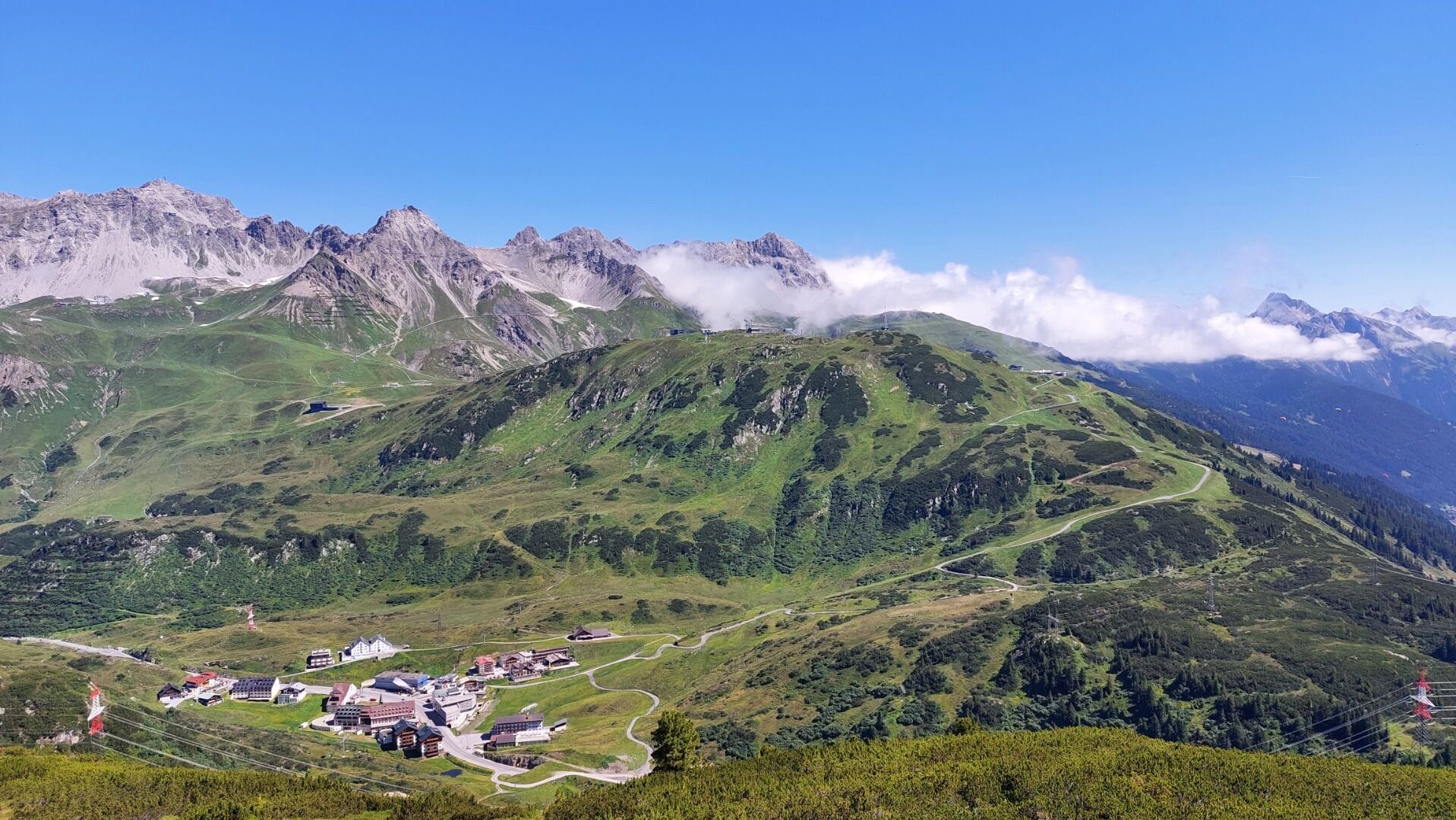
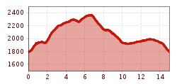
Starting point: St. Christoph. Behind the Gasthof Valluga, follow the signs in the direction of Kaltenberghütte
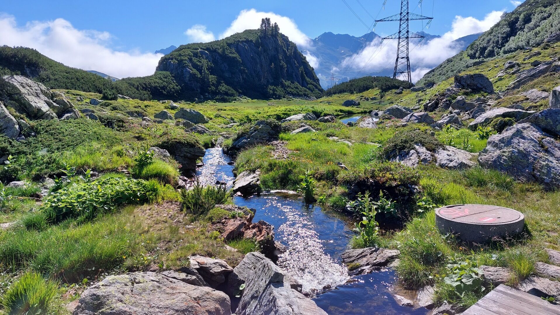
(Trail 19) up until the Berggeistweg/Kaltenberghütte fork. Turn left here and follow the signs for Berggeistweg. The trail is a light climb over large stones. Later, the path becomes winding and climbs steeply up to a mountain pass. From here, head west, crossing beautiful alpine meadows until you reach the Maroiseen lakes. Next, the trail heads over a steep peak (lift station) and then follows the forest road west to the Albona
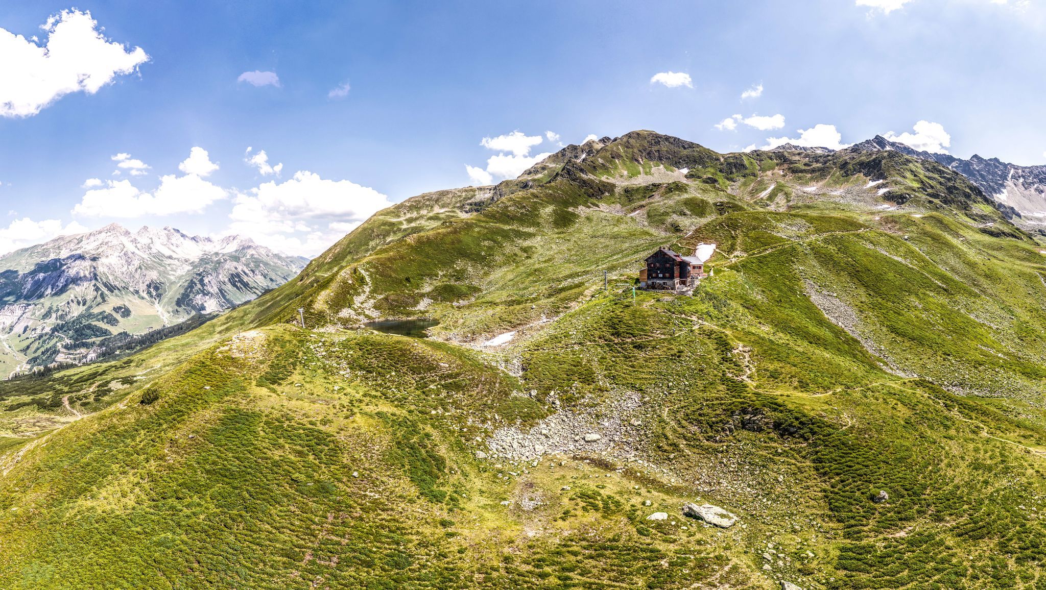
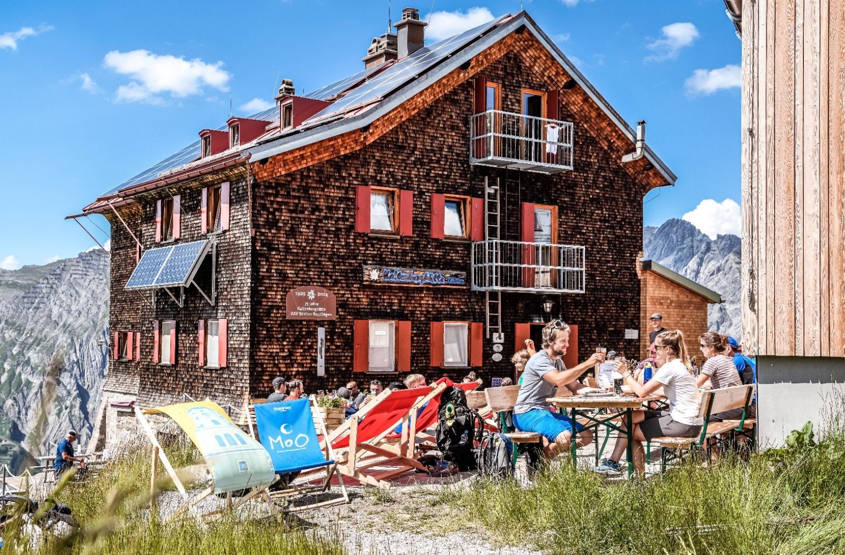
Ridge mountain station. Continue west, across the ridge, and then down to the Kaltenberghütte. Follow Trail 19 until the Arlberg tunnel ventilation tower and the singns in the direction to St. Christoph am Arlberg.


.jpg")

