
Opening hours:Open today
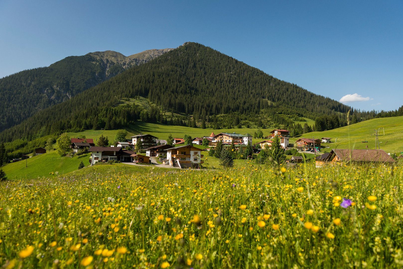
Place:Rinnen
:Restaurant
Easy hike from the village Rinnen to the small village Kelmen

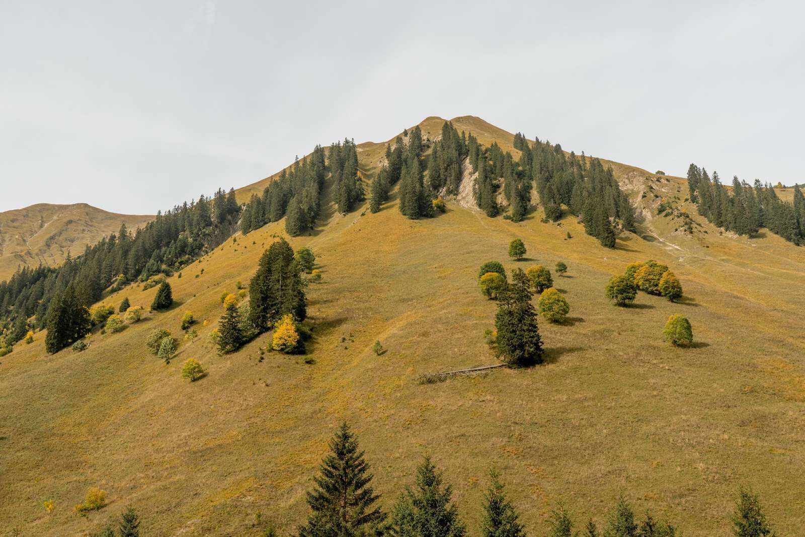
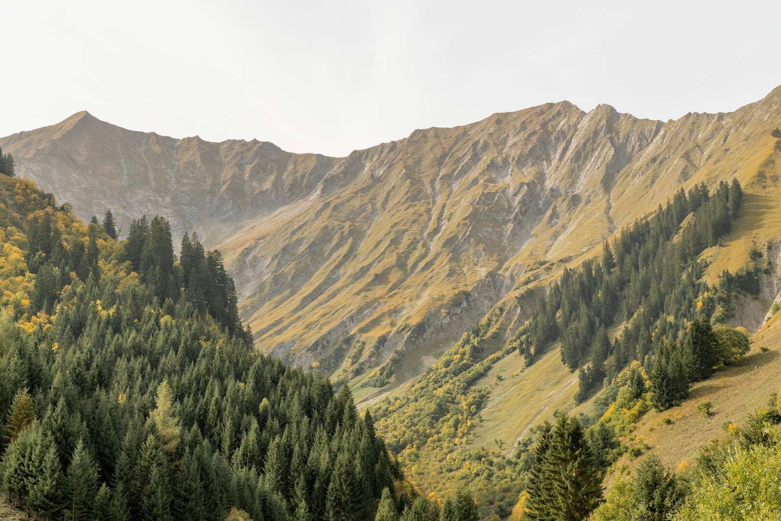
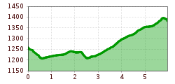
From the car park in Rinnen, follow the road for about 100 meters towards Brand. At the exit of Rinnen, turn right down and follow the path, which then flows into a wide gravel path. This leads to the state road. Cross this and hike along the avalanche dam to the Spitzegg chapel. There, descend the path, take the sidewalk and cross the bridge, continue along the road to the bend. The wide gravel path towards Kelmen begins directly in the hairpin bend. Follow this straight ahead until you reach the village Kelmen.
IMPORTANT NOTES:
● Stay on the marked hiking trails
● Keep your distance from grazing animals
● Be aware of the mountain hut opening hours
● Alpine emergency call: 140
Right at the tour start, next to the main road in Rinnen, you'll find a parking lot


