Mountain hikes Berwang - Rinnen - Brand - Mitteregg

Lermoos / Lechtal Alps
Schwierigkeitsgrad: easy
Streckenlänge: 12.2 km
Dauer: 3:45 h

Beautiful hike to the hamlets of Rinnen, Brand and Mitteregg

Toureninformation

  • Anforderung: easy
  • Länge: 12.2 km
  • Dauer: 3:45 h
  • Höhenmeter Bergauf:280 hm
  • Höhenmeter Bergab:279 hm
Höchster Punkt1,370 m

Ausgangspunkt

Tourist office Berwang

Endpunkt

Tourist office Berwang
  • Kondition 3 / 6
  • Technik 2 / 6

Merkmale

  • Circular route
  • suitable for pushchairs

Beste Jahreszeit

  • January
  • February
  • March
  • April
  • May
  • June
  • July
  • August
  • September
  • October
  • November
  • December

Wegbeschaffenheit

Asphalt, gravel and meadow

Ausrüstung

Appropriate clothing, sturdy shoes, rain protection, sun protection, hiking poles, sufficient water. No climbing equipment required.
Quelle: Tiroler Zugspitz Arena

Beschreibung

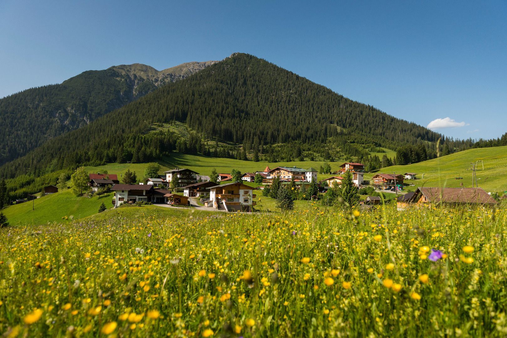
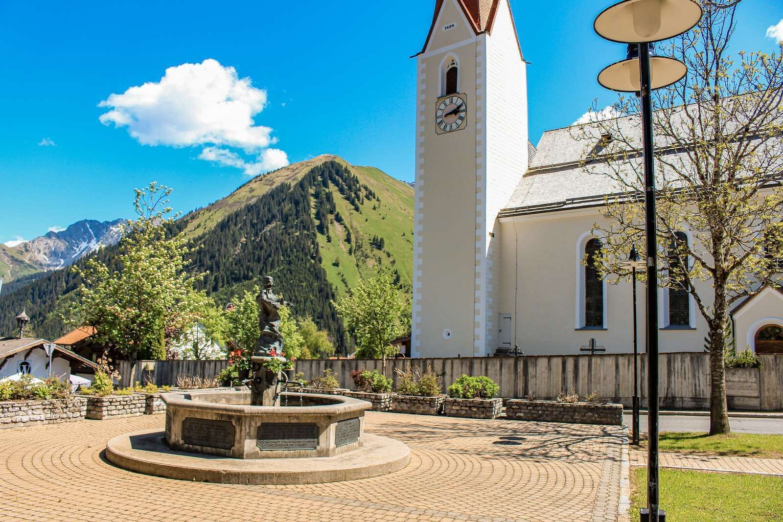
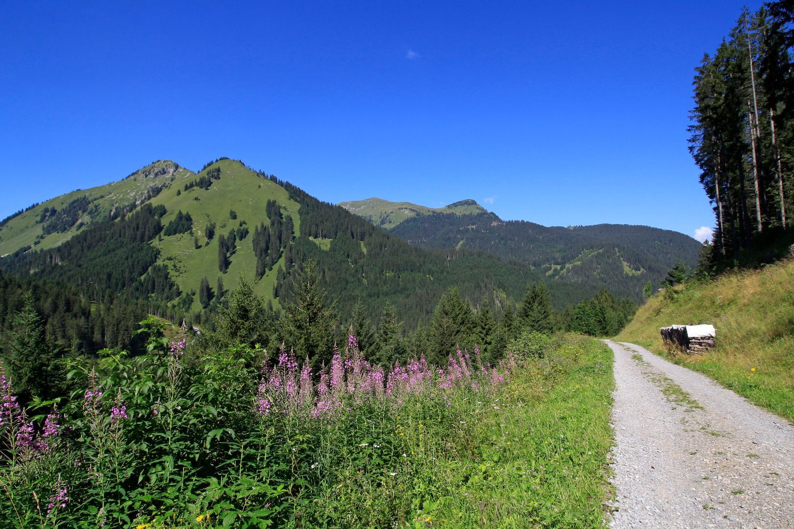
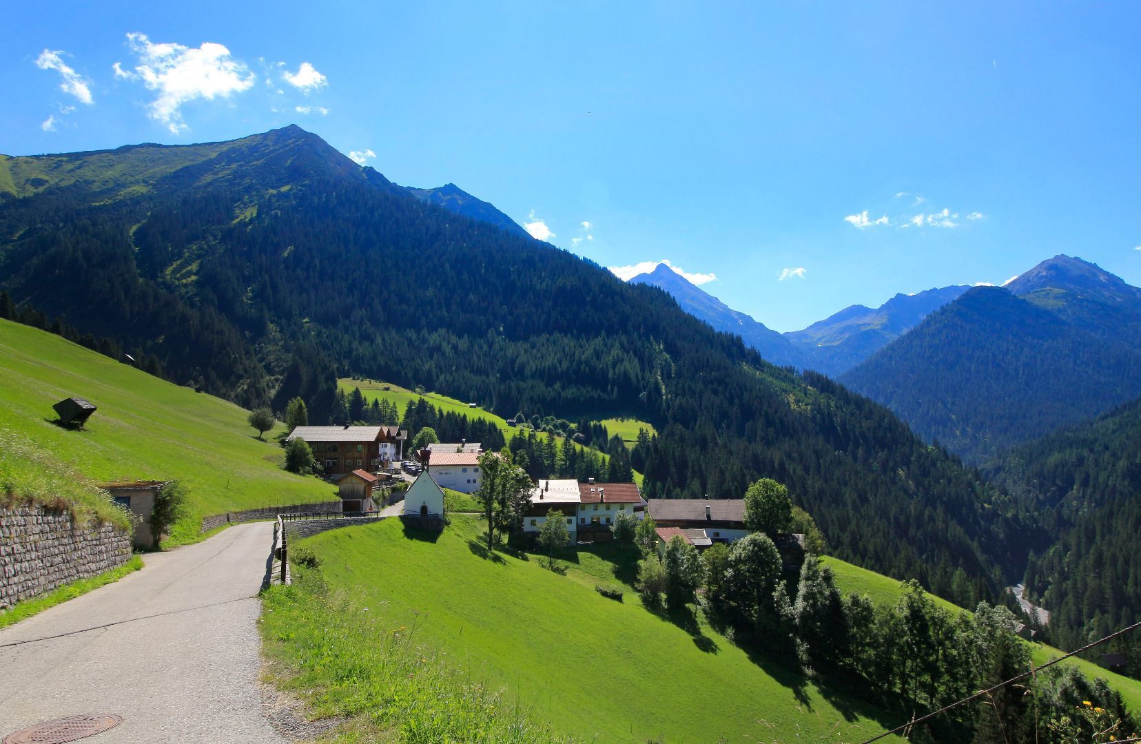
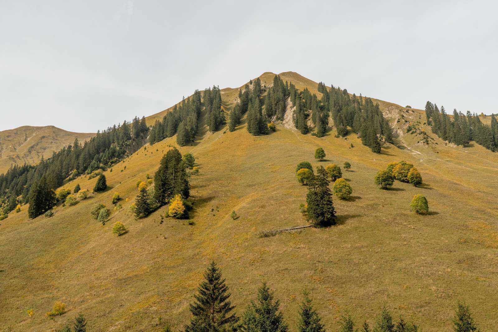
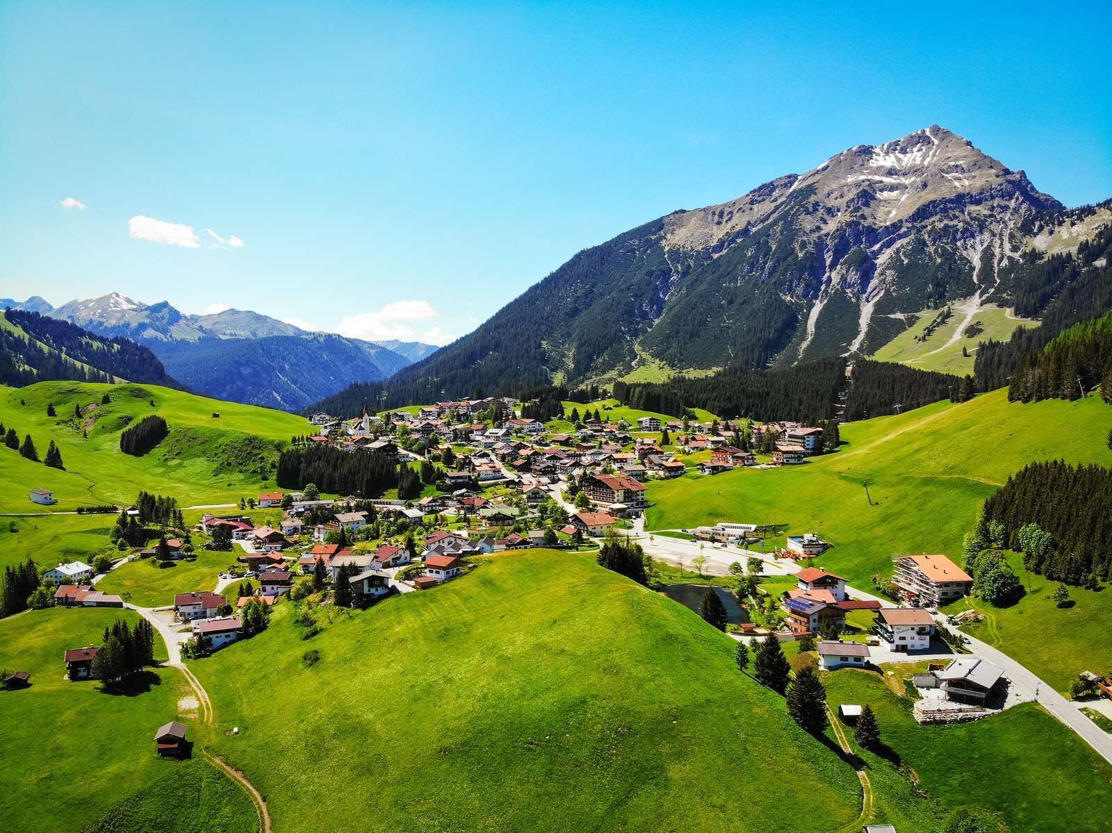
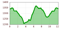
Starting at the tourist office Berwang follow the main road, pass the church towards the end of the village. At the chapel follow the meadow/gravel/asphalt road on the right for 2 km until Rinnen. Pass the village and at the end of the village turn right and follow the hiking path to Mitteregg. Cross the road at the avalanche wall and follow the wide forest path ascending to Mitteregg. On the way back stay on the little-used road to Brand and further to Rinnen. Take the footpath (No. 17) at the Hotel Thaneller/chapel back to Berwang.

IMPORTANT NOTES:
●   Stay on the marked hiking trails
●   Keep your distance from grazing animals
●   Be aware of the mountain hut opening hours
●   Alpine emergency call: 140
 

Einkehrmöglichkeiten

Anreise

  • Parken

    In Berwang at the church and at the lift stations, you find numerous parking facilities

Weitere Touren in der Umgebung

Tirol Newsletter

The mountain is calling? So does our newsletter!

In our monthly newsletter we reveal the best holiday tips for Tyrol.