
Place:Kirchberg in Tirol
:Alpine pasture / hut / mountain restaurant
High above the Brixental Valley!
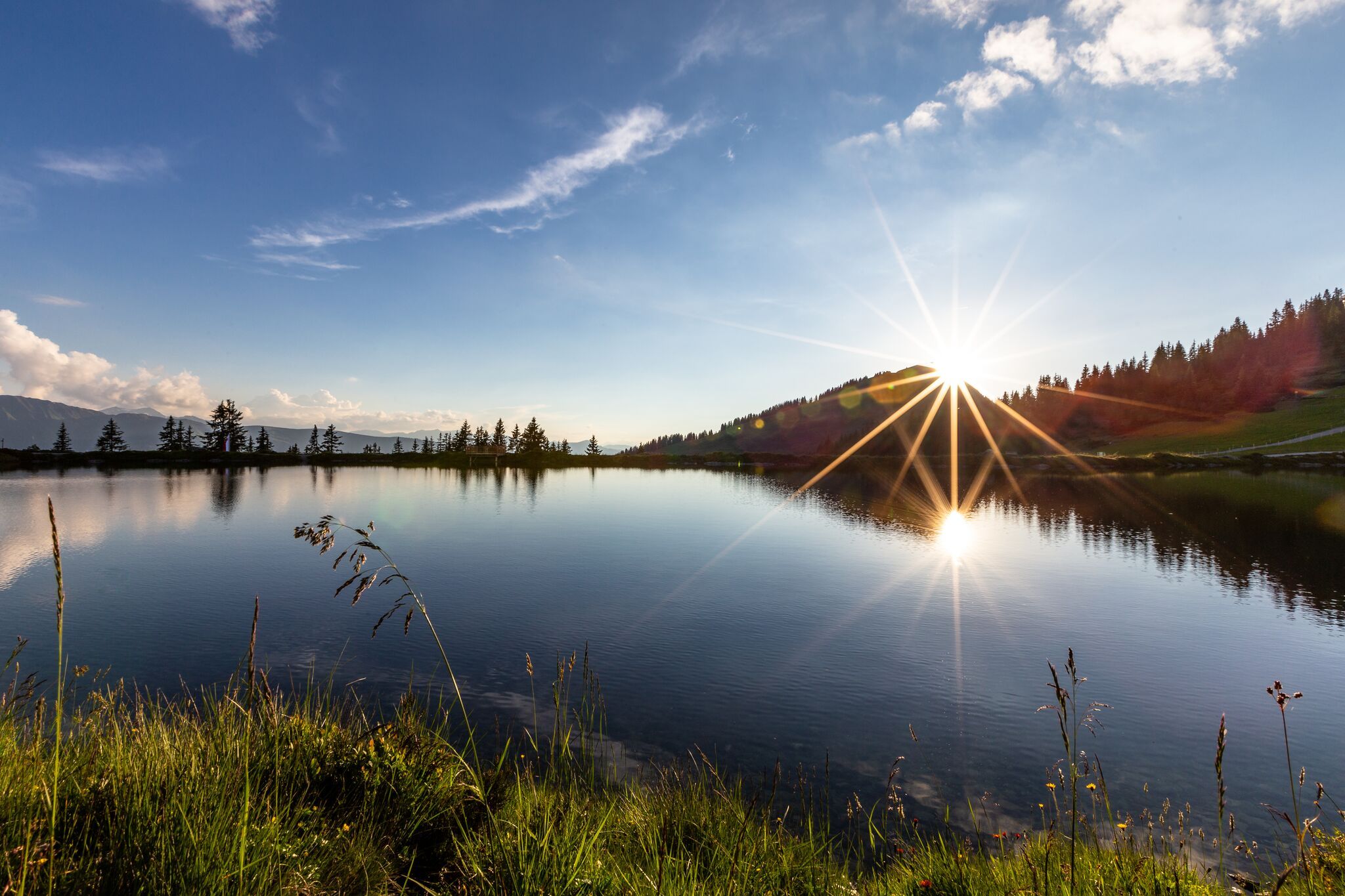
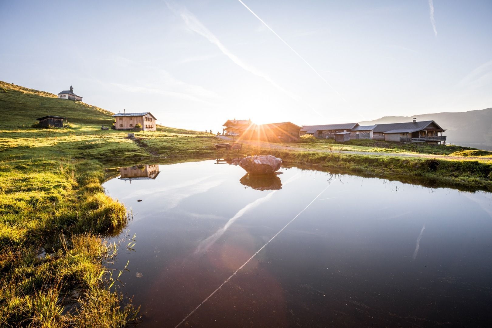
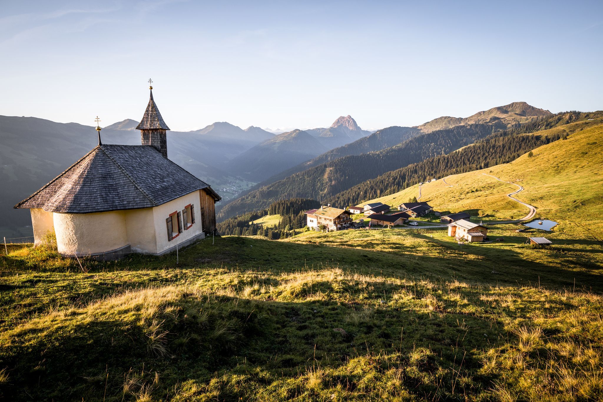
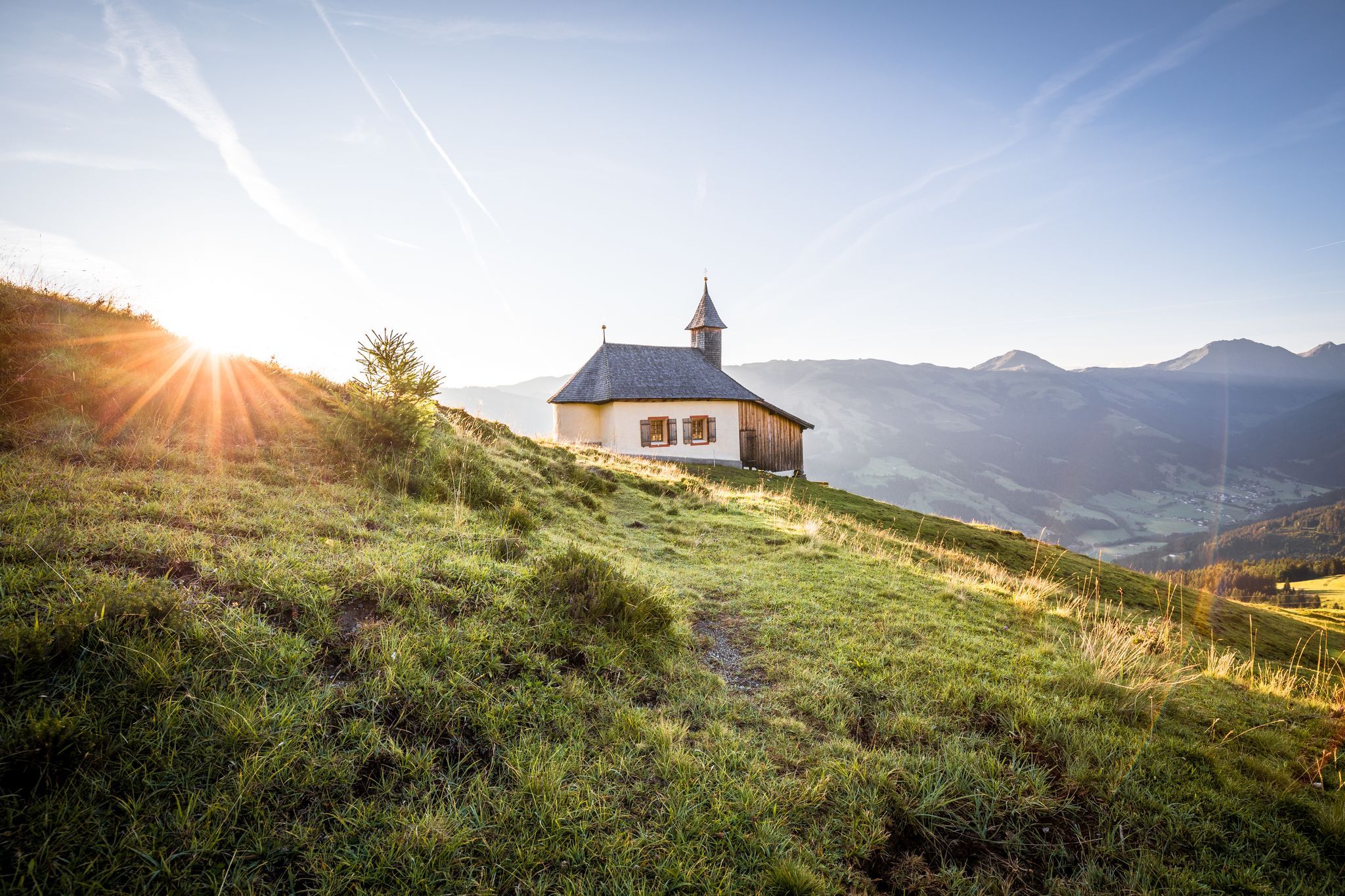
We first hike downhill from the Alpenrosenbahn mountain station and turn left at the Höhningscharte towards Kreuzjöchlsee. At this beautifully embedded lake, we turn left towards the end and follow the forest road in the direction of ‘Wiegalm’. At the mountain pasture, we walk a short distance uphill to the saddle and follow the signs pointing left to the Kobingerhütte. There stands the magnificent Harlassanger Chapel, a small pilgrimage church built in 1659 in honour of the Visitation of Mary. People from Westendorf, Brixen and Kirchberg still make a pilgrimage to this time-honoured chapel every year on 2 July.
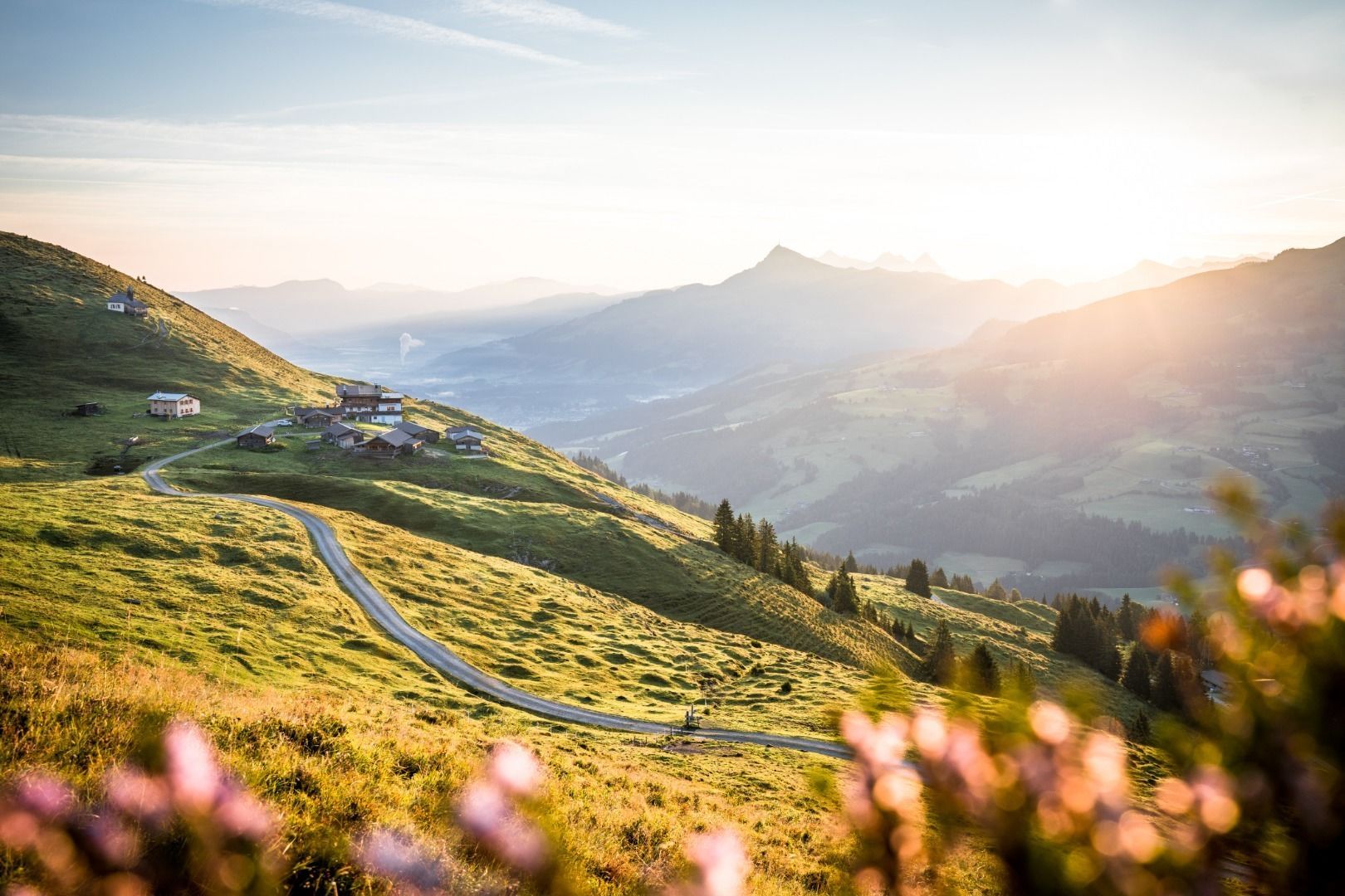
After the Kobingerhütte, we continue along the level path to the ‘Bärstättalm’. Continue along the hiking trail to the mountain station of the Gaisberg lift and from there via the toboggan run, Obergaisberg, Kirchanger chapel to the valley station of the Gaisberg lift. The public bus takes us back to Westendorf. (Bus timetables are available in the tourist offices!)
If you want to save yourself the descent, walk from the Bärstättalm to the Gaisberg lift and take the lift down into the valley to Kirchberg.
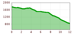
If you do the tour in the opposite direction, you will have to climb approx. 550 metres in altitude.
If you want to make this tour a little more difficult, you also have the option of hiking via the ‘Kreuzweg’ from Brixen im Thale to the Brixenbachalm and on to the Wiegalm. (approx. 700 metres in altitude, approx. 5 km - walking time approx. 2 ½ h). From there you can either hike to the Gaisbergli
Translated with DeepL.com (free version)
bus stop Sennerei Westendorf
railway station Westendorf
Mobility at Brixental: https://www.kitzbueheler-alpen.com/de/bri/mobil.html
Alpenrosenbahn Westendorf


 Erwin Haiden (18).jpg")
 Erwin Haiden (48).jpg")


_FULL12.jpg")
 TVB Kitzbüheler Alpen-Brixental (7).jpg")


