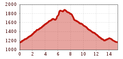
Mountain hikes Flirsch - Große Baumwiesen - Flirscher Schihütte -Kolpen - Flirsch

Strengen / Lechtaler Alpen
Difficulty ratings: medium
Route length: 15.0 km
Duration: 5:30 h

Flirsch - Große Baumwiesen - Flirscher Schihütte -Kolpen - Flirsch

Tour information

  • Requirement: medium
  • Length: 15.0 km
  • Duration: 5:30 h
  • Elevation uphill:900 hm
Highest point1,895 m

Starting point

Flirsch

Finishing point

Flirsch

Features

  • Circular route

Best time of year

  • January
  • February
  • March
  • April
  • May
  • June
  • July
  • August
  • September
  • October
  • November
  • December

Trail condition

forest-, meadow-, panoramic hike

Equipment

Good walking boots, poles and drinks/snacks, rain jacket, sun protection
Source: St. Anton am Arlberg (Region)

Description

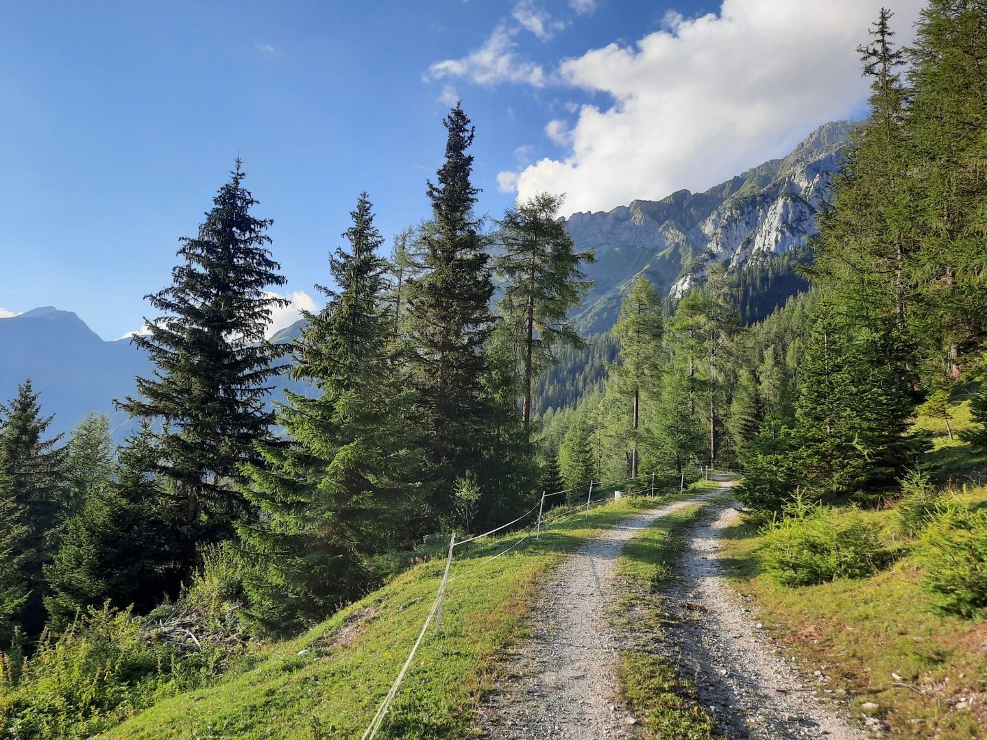
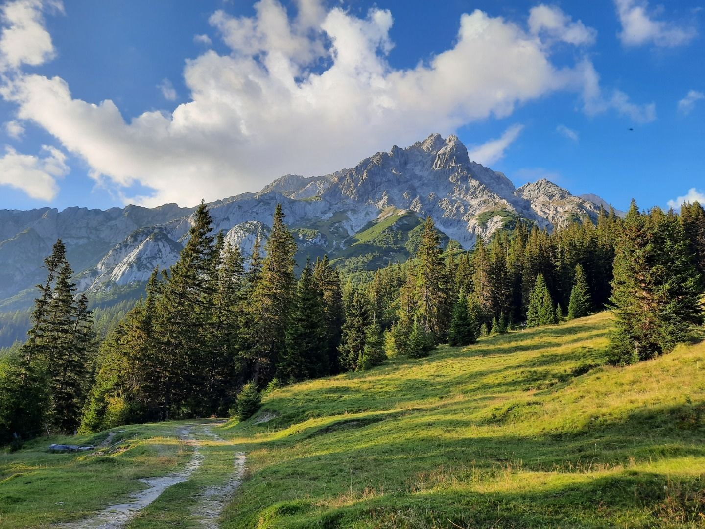
Head north from the church. Turn right in the direction of Mairhof at the first intersection (Trail 6). At the Mairhof district, turn left on to Trail 8A and follow the long switchbacks through the forest above. Later, the trail leads to a
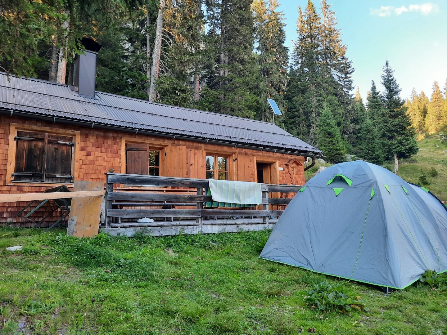
broad, well-marked forest path, which takes you to the Große Baumwiesen. The route passes an old, derelict manganese plant (Gampli) and continues to the Flirscher Skihütte (unwardened). Return to Flirsch by way of Trail 8.

More tours in the surrounding area

Newsletter

The mountain is calling? So does our newsletter!

In our monthly newsletter we reveal the best holiday tips for Tyrol.