Mountain hikes Flirsch - Mösli - Ganatschalm - Gsellaplon - Flirsch

Flirsch / Verwall
Difficulty ratings: medium
Route length: 15.3 km
Duration: 5:00 h

Flirsch - Mösli - Ganatschalm - Gsellaplon - Flirsch

Tour information

  • Requirement: medium
  • Length: 15.3 km
  • Duration: 5:00 h
  • Elevation uphill:813 hm
  • Elevation downhill:813 hm
Highest point1,863 m

Starting point

Flirsch

Finishing point

Flirsch

Features

  • Circular route

Best time of year

  • January
  • February
  • March
  • April
  • May
  • June
  • July
  • August
  • September
  • October
  • November
  • December

Trail condition

forest hike

Equipment

Good walking boots, poles and drinks/snacks, rain jacket, sun protection
Source: St. Anton am Arlberg (Region)

Description

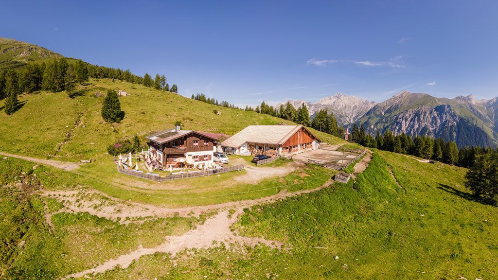
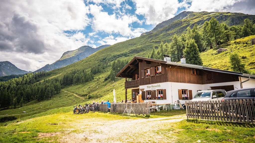
Starting from the church, head east along the Dorfstraße until the entrance to the highway. Continue east until the fork to the right over the Rosanna. From here, follow the roadway Alpe Gampernun (Trail 11) up to the first turn, then continue on the steep trail No. 10 in the direction of Mösli (biotope, conservation area), a marshy  plateau with a small pond. A marked climb (Trail 13) continues to the Ganatschalm. Just after the alpine pasture,
turn off onto Trail No. 13A and follow this route to the next junction. There, take Trail 12 on to Flirsch.

Nearby huts and mountain restaurants

More tours in the surrounding area

Newsletter

The mountain is calling? So does our newsletter!

In our monthly newsletter we reveal the best holiday tips for Tyrol.