
Opening hours:closed
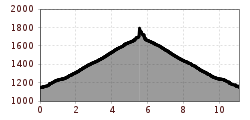
Difficulty:medium
Length:10.8 kmDuration:4:00 hElevation uphill:605 m
Flirscher Stollen
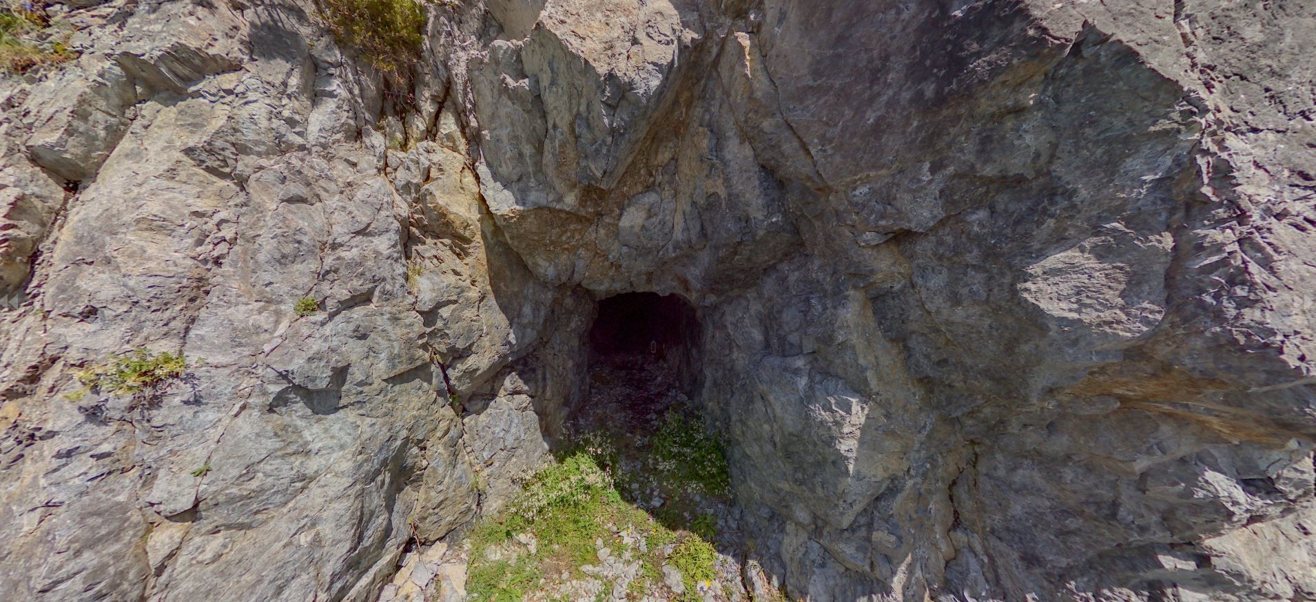
From the starting point of the Flirsch Tourist Association, the hike leads via the Mairhof district over the Große Baumwiese to the Flirscher Stollen. The same way back again


.jpg")
