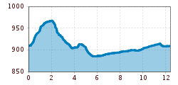
Mountain hikes Forchach - circular route to Weißenbach

Forchach / Lechtal Alps
Difficulty ratings: easy
Route length: 12.0 km
Duration: 3:15 h

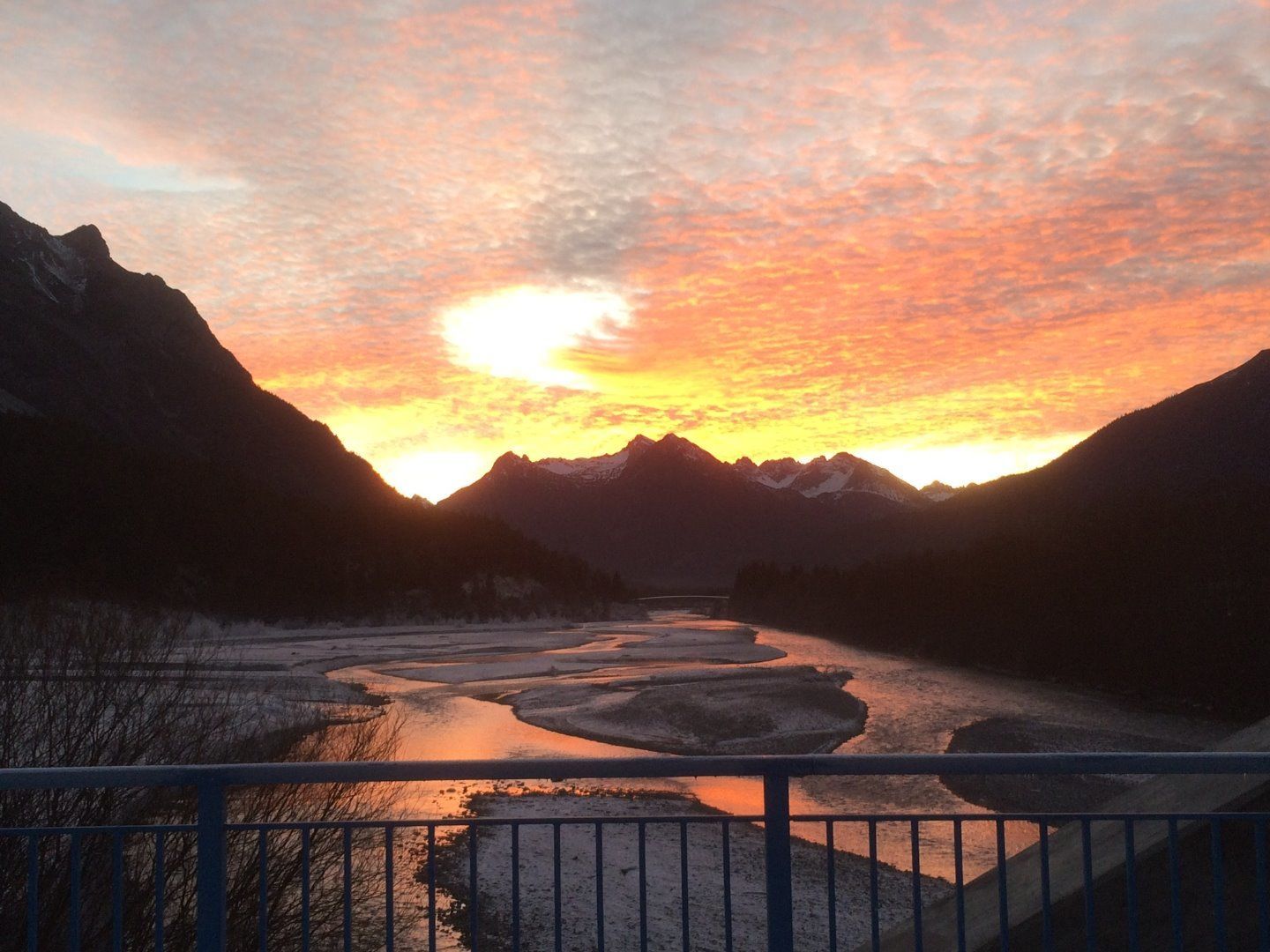
Very beautiful circular hiking trail. Core zone at the "LECH" natural monument

Tour information

  • Requirement: easy
  • Length: 12.0 km
  • Duration: 3:15 h
  • Elevation uphill:86 hm
  • Elevation downhill:87 hm
Highest point985 m

Starting point

Forchach

Finishing point

Forchach
  • Fitness level 2 / 6
  • Technique 2 / 6

Features

  • Circular route
  • Suitable for families

Best time of year

  • January
  • February
  • March
  • April
  • May
  • June
  • July
  • August
  • September
  • October
  • November
  • December

Trail condition

Asphalt, forest path, hiking trail

Equipment

Good equipment is essential for your hike. The following items should definitely be in your rucksack: - Food and drink - Functional clothing for rain, wind and cold - A change of clothes - Sun protection - First aid kit - Mobile phone with a full battery (Euro emergency number 112) - Hiking map or GPS - Hiking poles Nevertheless, the following applies: light luggage is also easier to carry, so you should not weigh down your rucksack with unnecessary ballast. In addition, your hiking equipment should of course also be adapted to your particular hiking tour. .
Source: TVB Lechtal

Description

Your hike begins at the village square in Forchach. Follow the "Bannwald" signpost opposite the Sonne accommodation. Follow the forest path in a northerly direction until above the quarry pond. Now you come to the track at Bergle and follow it to the wooden bridge over the Lech. Now take the cycle path to the quarry pond and continue to the Johannisbrücke bridge. You have to cross this and then take the tarmac path northwards again. Your path now leads you back to Forchach along the lush flowering meadows.

More tours in the surrounding area

Newsletter

The mountain is calling? So does our newsletter!

In our monthly newsletter we reveal the best holiday tips for Tyrol.