Mountain hikes From Schlosshof to the Thaurer Alm

Thaur / Karwendel
Difficulty ratings: medium
Route length: 7.3 km
Duration: 4:15 h

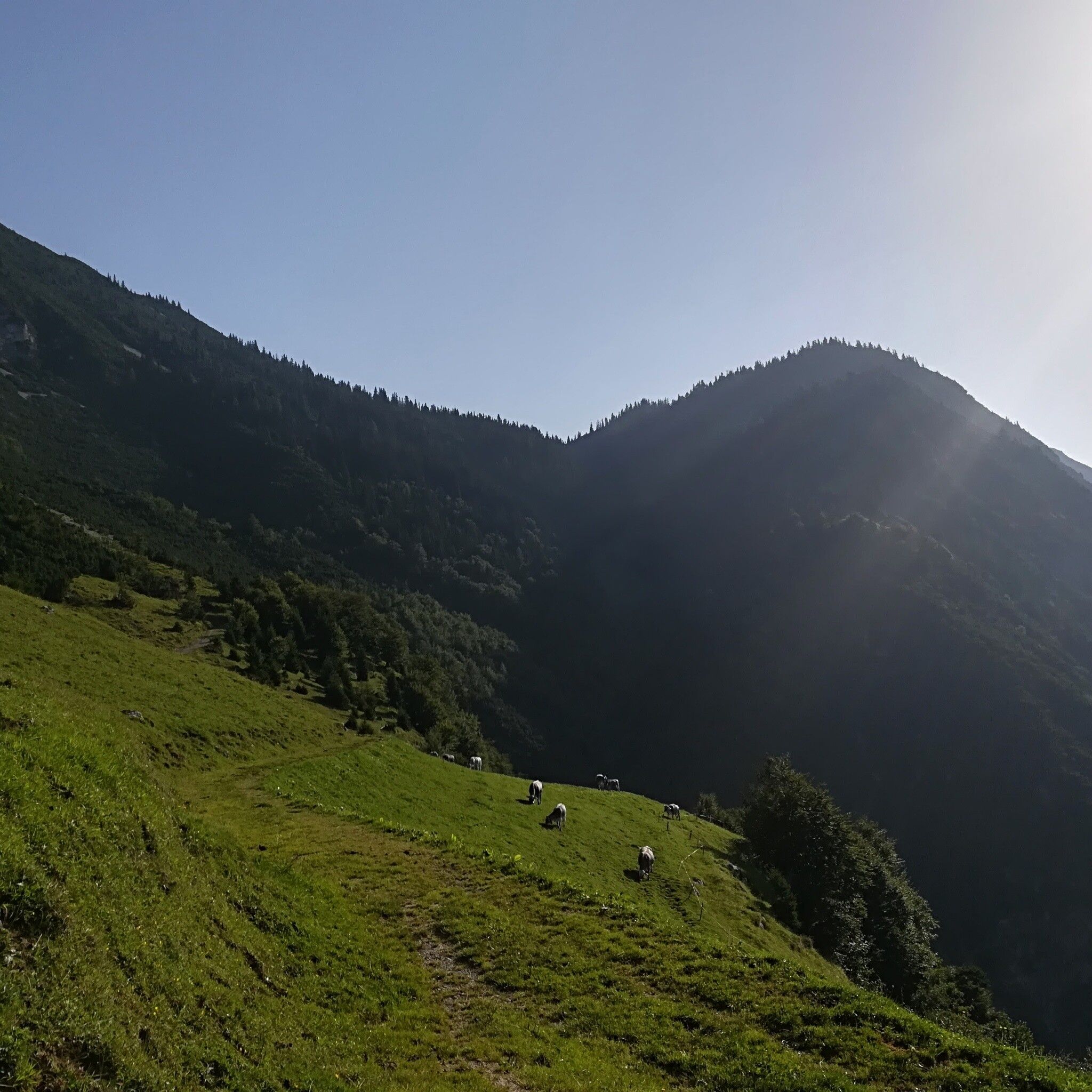
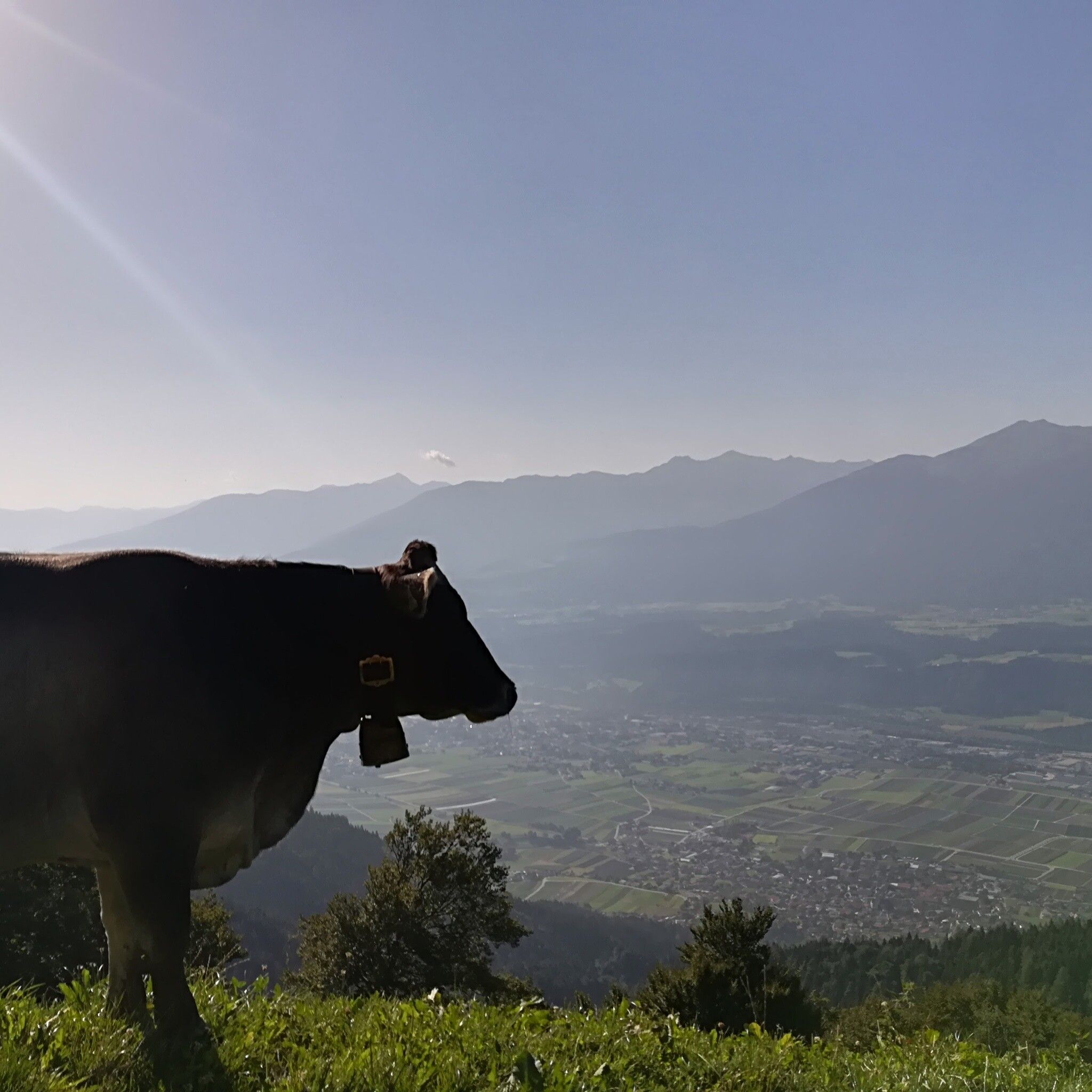
Alpine hike in Karwendel Nature Park with a deep view into the Inn Valley

Tour information

  • Requirement: medium
  • Length: 7.3 km
  • Duration: 4:15 h
  • Elevation uphill:636 hm
  • Elevation downhill:635 hm
Highest point1,462 m

Starting point

Thaur, Adolf Pichler Way

Finishing point

Thaur, Adolf Pichler Way
  • Fitness level 4 / 6

Best time of year

  • January
  • February
  • March
  • April
  • May
  • June
  • July
  • August
  • September
  • October
  • November
  • December
Source: Region Hall - Wattens

Description

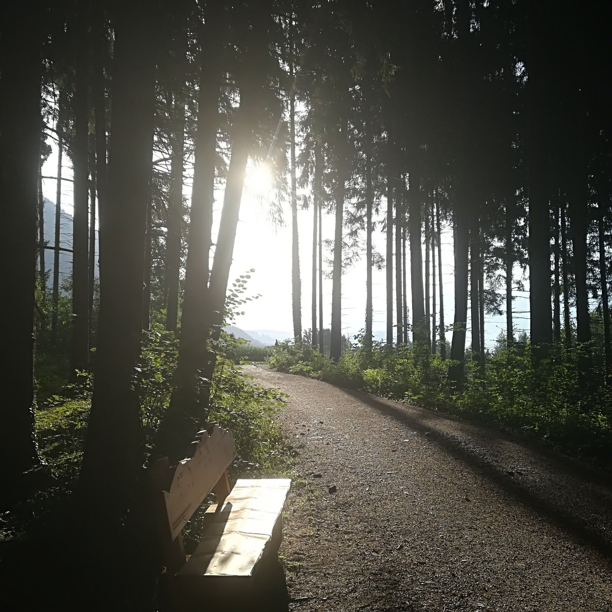
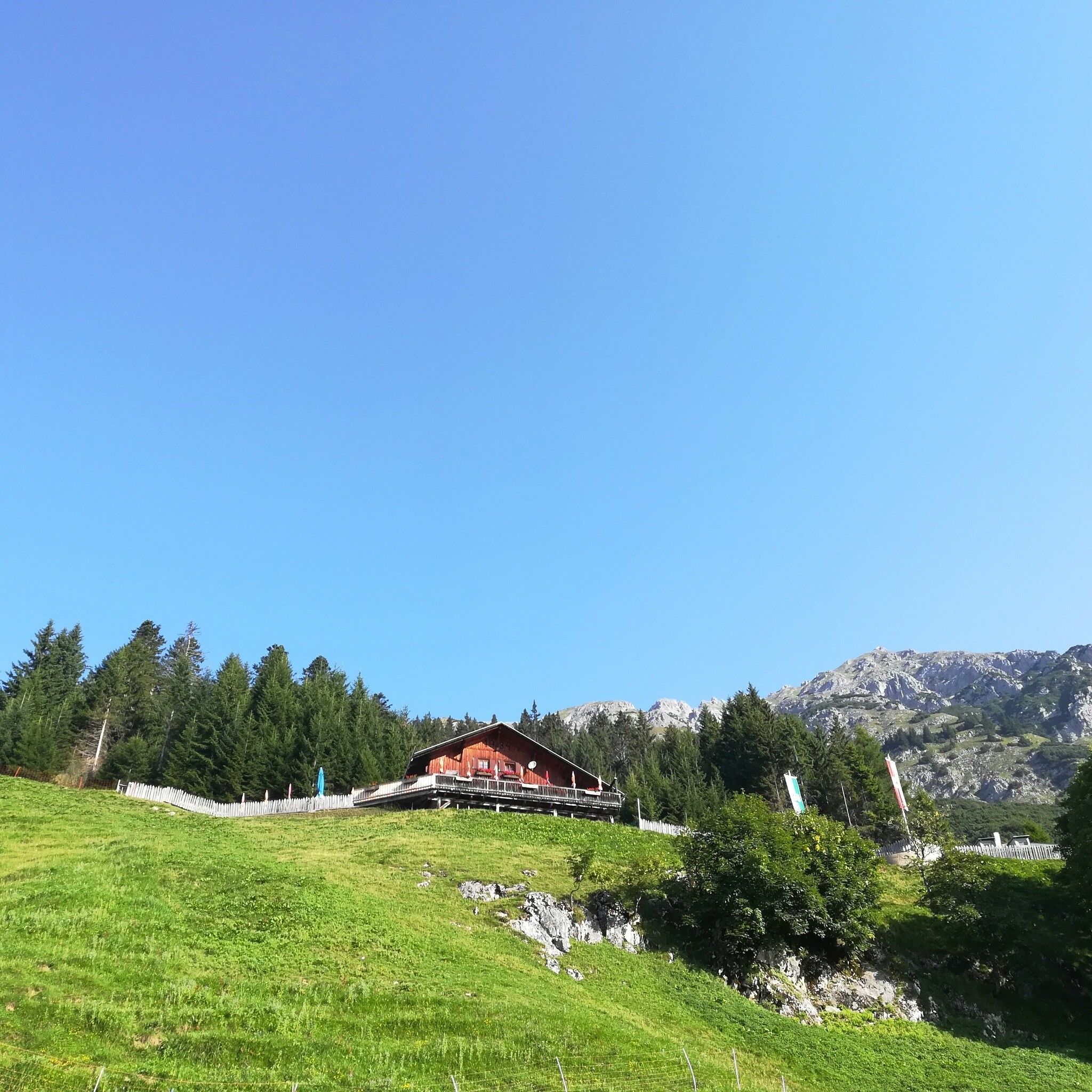
Steadily uphill through shady mixed forest to the scenic ThaurerAlm.


Nearby huts and mountain restaurants

Getting here

  • Arrival by public transport

    It is possible to reach Thaur with line "501" from Innsbruck and Hall in Tirol. About 10 minutes walk from the center to the starting point!

    More information at:

    http://www.vvt.at

  • Parking

    Hiking car park Thaurer Schlosshof

More tours in the surrounding area

Newsletter

The mountain is calling? So does our newsletter!

In our monthly newsletter we reveal the best holiday tips for Tyrol.