
Place:
Tulfes
:
Alpine pasture / hut / mountain restaurant
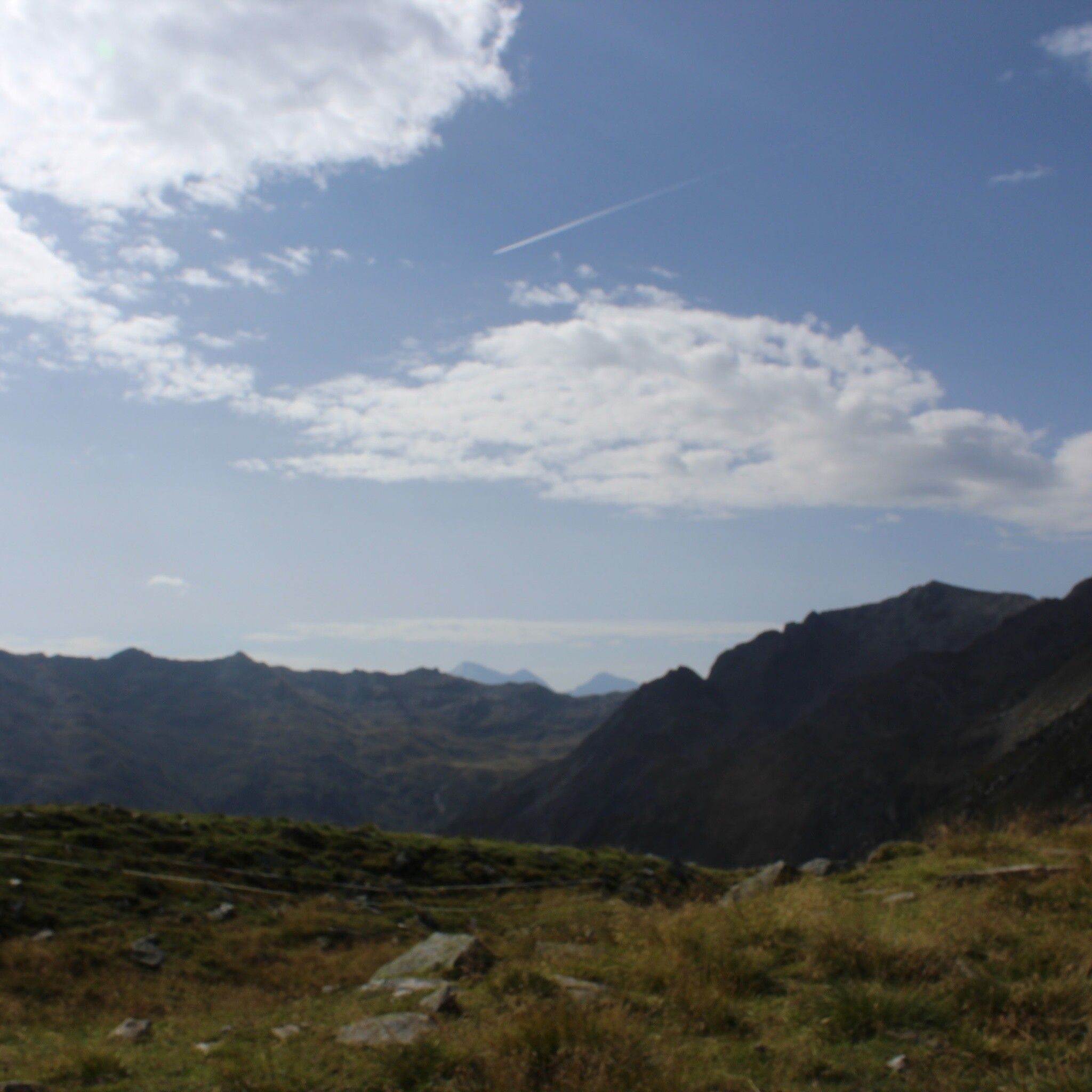
360° panoramic view
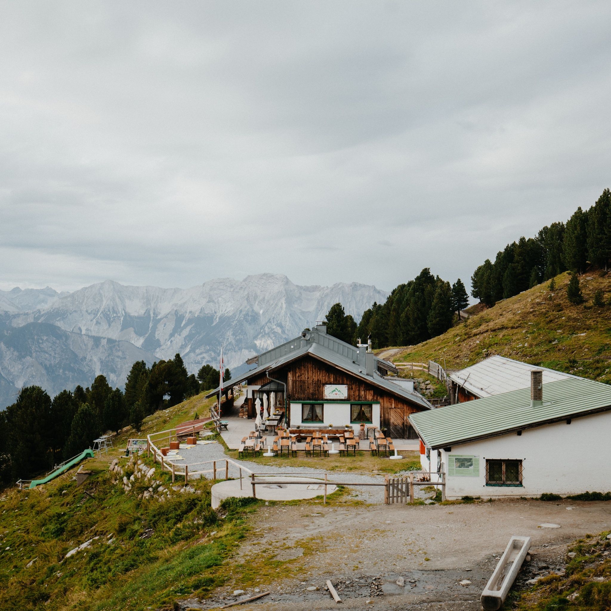
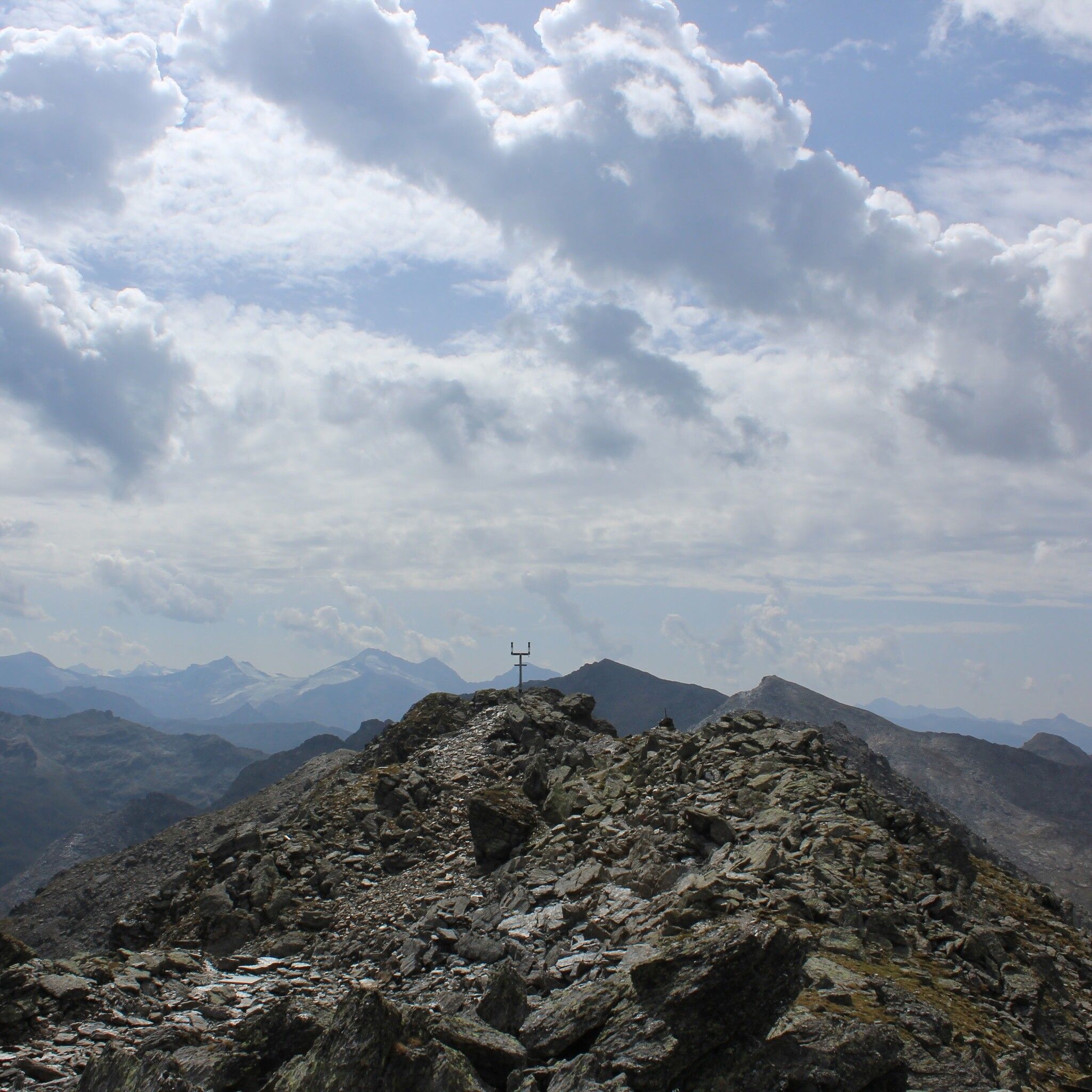
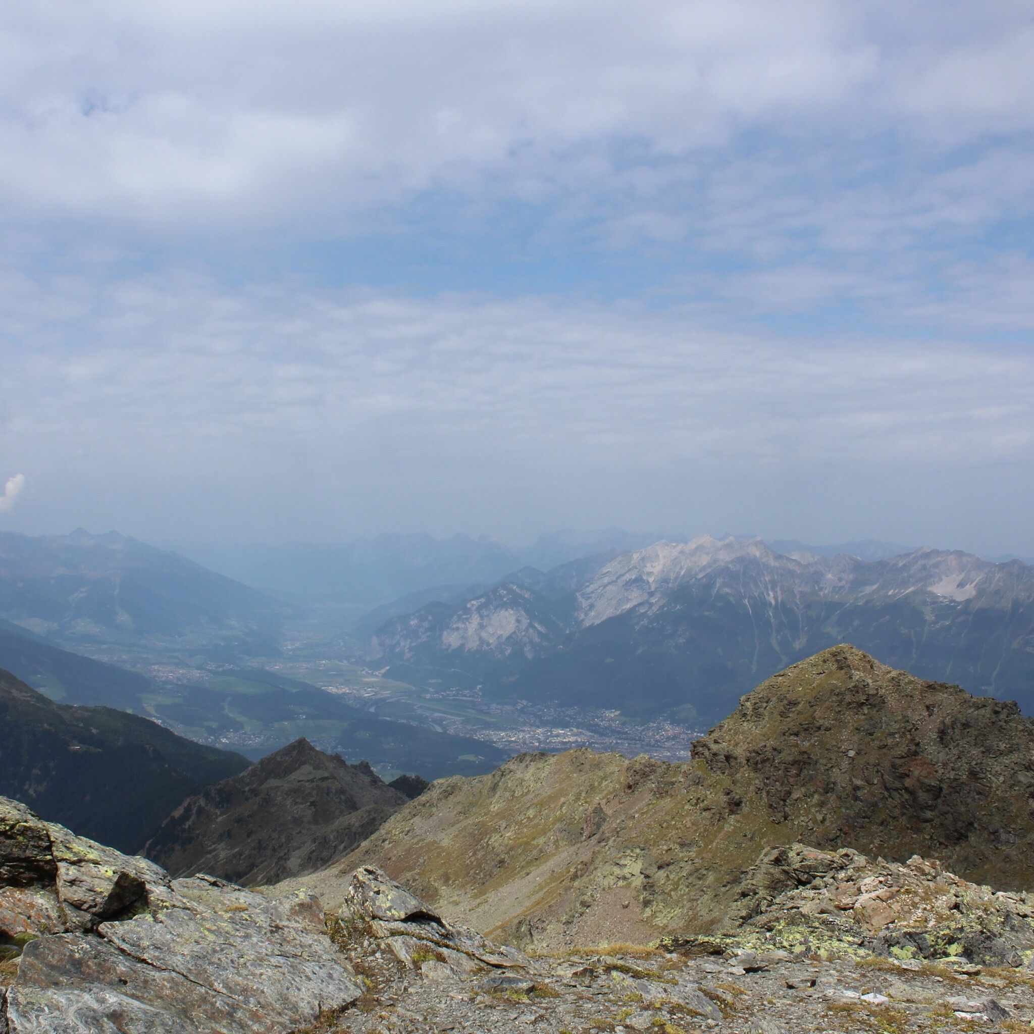
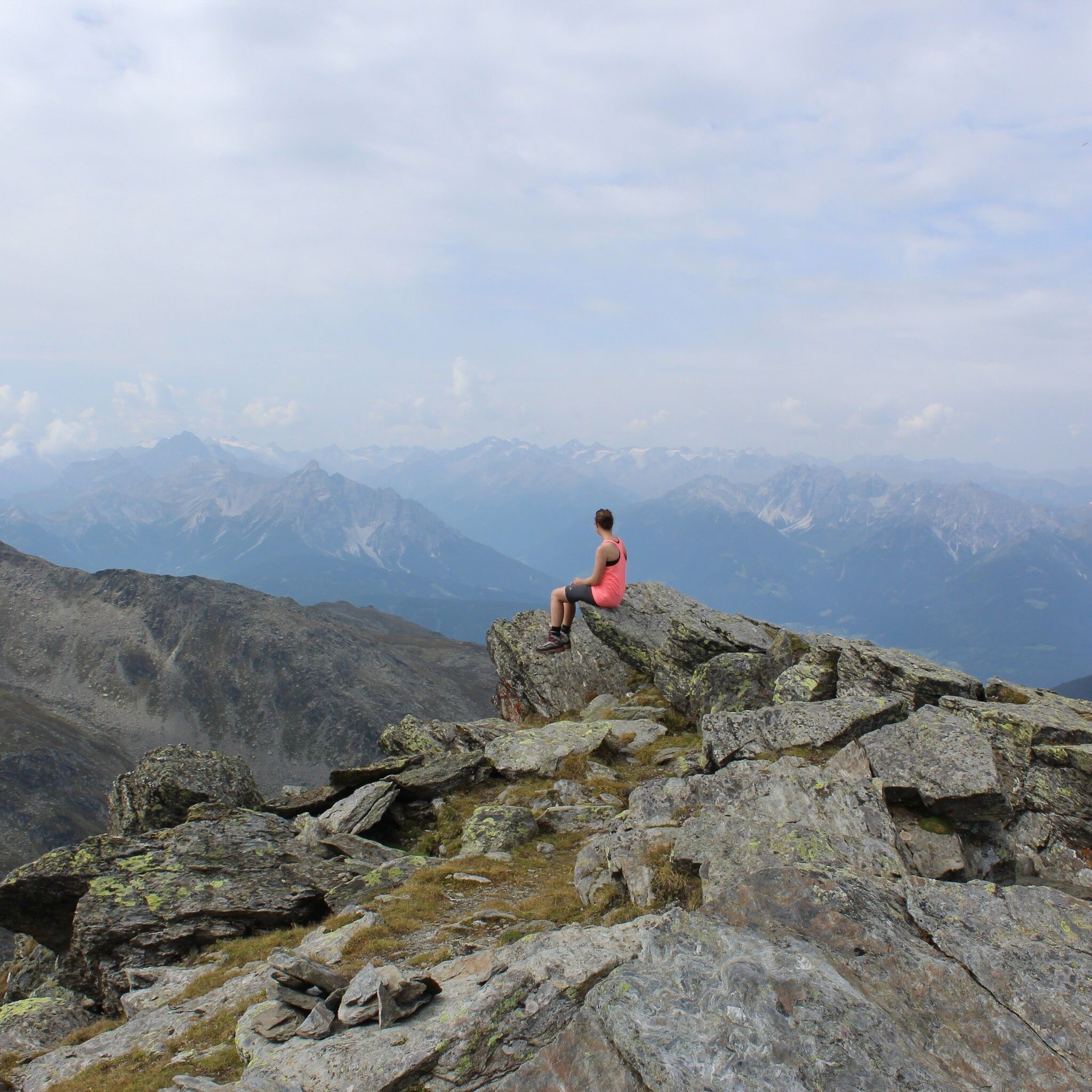
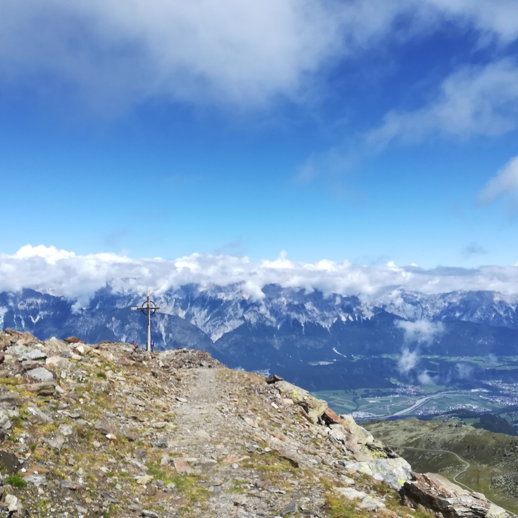
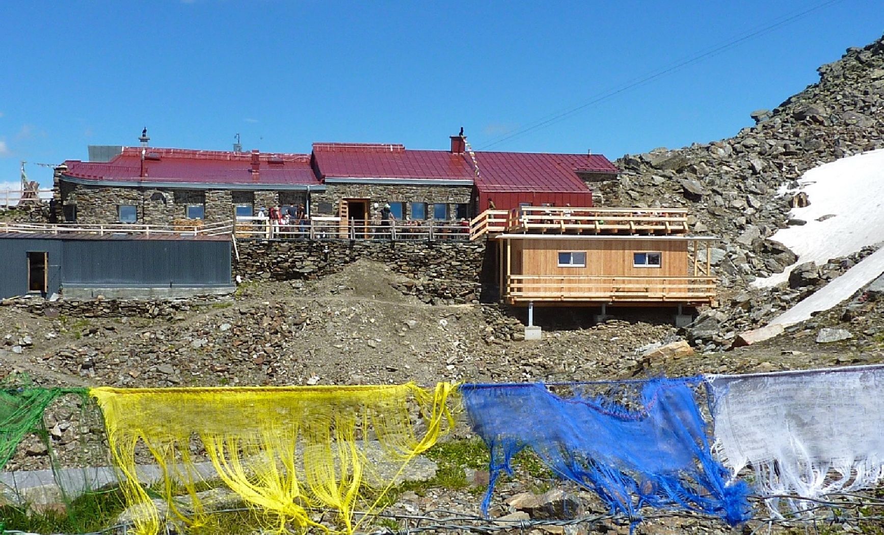
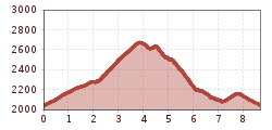
You can comfortably take the Glungezerbahn to the Tulfein mountain station. From here the hiking shoes are laced closer and you can reach the summit of the Glungezer with its impressive 360° view in 1.5h to 2h.
Bus 540 to the Glungezerbahn valley station
Tulfes Glungezerbahn


