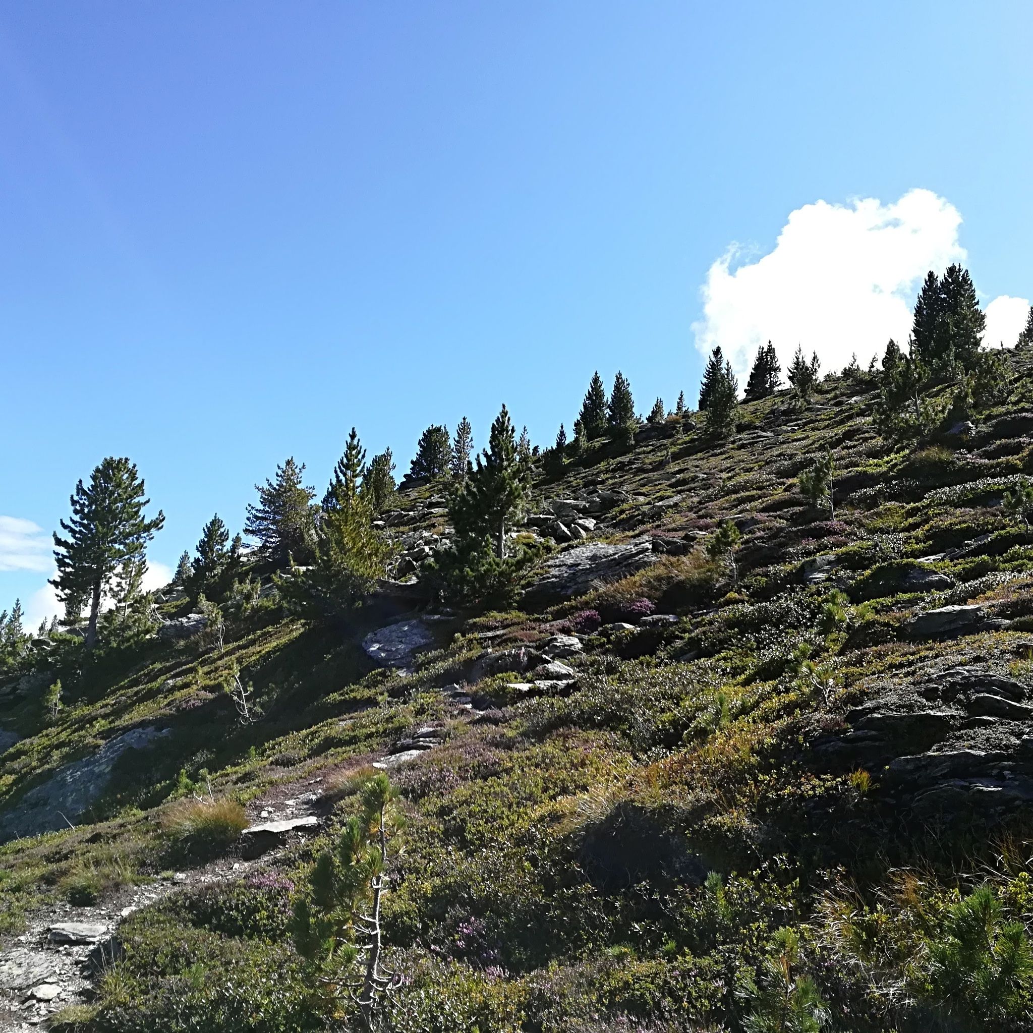
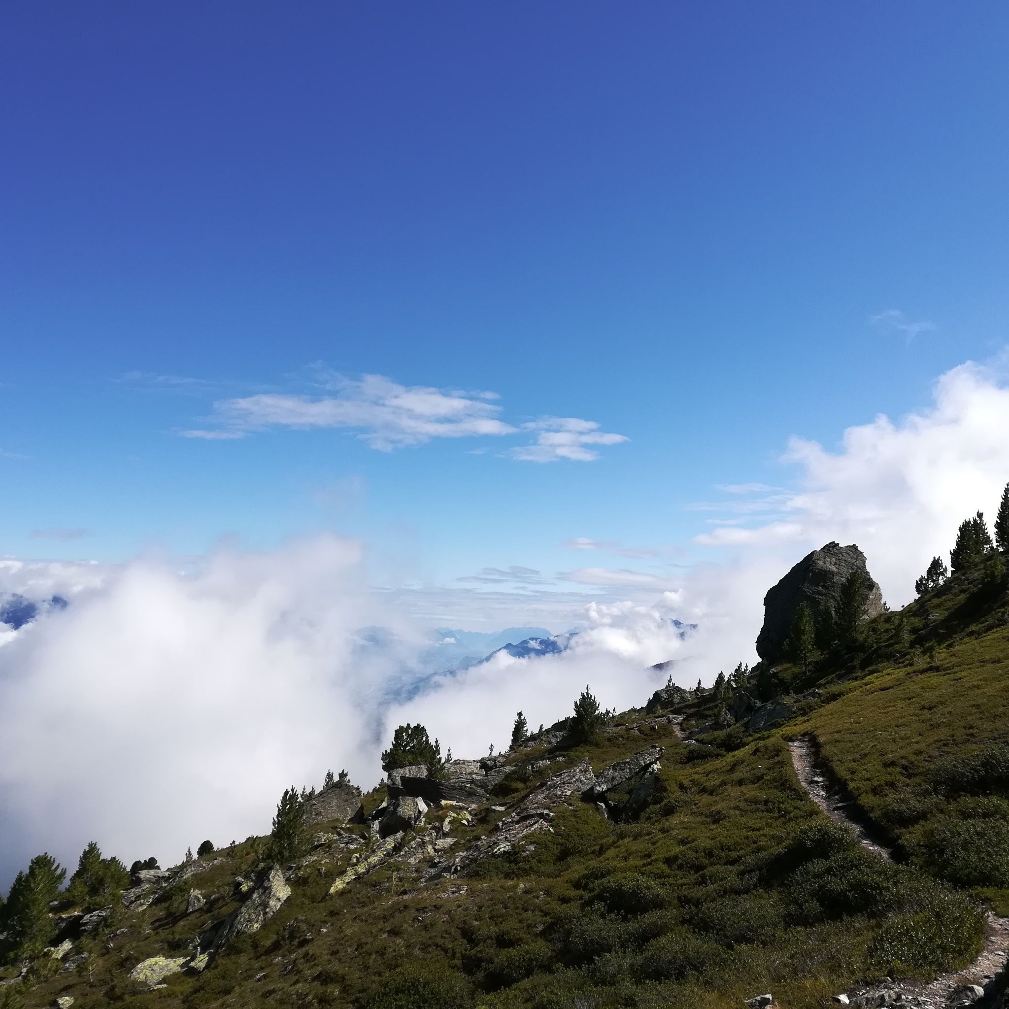
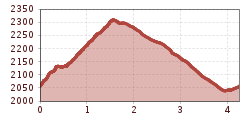
Open interactive mapOpen this POI on the interactive mapElevation profileFrom the Tulfeinalm to the Schartenkogel.gpx
TulfeinalmOpening hours:Open todayPlace:Tulfes:Alpine pasture / hut / mountain restaurantsee restaurant detailssee restaurant details: Tulfeinalm
Blick auf den Bettelwurf © Anne W. Vom Halltal über die 3 Zunterköpfe zur KaisersäuleDifficulty:mediumLength:12.0 kmDuration:6:04 hElevation uphill:1,236 mSee trailSee trail: Vom Halltal über die 3 Zunterköpfe zur Kaisersäule
almwanderung außermelang-alm_img_603433194 © Anne W. Almwanderung Außermelang-AlmDifficulty:easyLength:7.8 kmDuration:2:45 hElevation uphill:473 mSee trailSee trail: Almwanderung Außermelang-Alm
Zirmweg © Anne W. Lizum Stone Pine TrailDifficulty:mediumLength:12.0 kmDuration:4:30 hElevation uphill:617 mSee trailSee trail: Lizum Stone Pine Trail
hinauf auf den largoz_img_54121720 © Hall Wattens Hinauf auf den LargozDifficulty:mediumLength:6.9 kmDuration:5:00 hElevation uphill:853 mSee trailSee trail: Hinauf auf den Largoz
Hallerangeralm © Anne W. Through the Halltal (valley) to the HallerangerDifficulty:mediumLength:11.7 kmDuration:4:30 hElevation uphill:1,344 mSee trailSee trail: Through the Halltal (valley) to the Halleranger
Weiter oberhalb der Thaurer Alm © Anne W. Auf einen kleinen Aussichtsgipfel neben der Thaurer Alm: Thaurer RosskopfDifficulty:mediumLength:9.9 kmDuration:4:00 hElevation uphill:741 mSee trailSee trail: Auf einen kleinen Aussichtsgipfel neben der Thaurer Alm: Thaurer Rosskopf
Glungezerbahn © Hall Wattens Zwugl - Runde am GlungezerDifficulty:easyLength:1.8 kmDuration:0:34 hElevation uphill:76 mSee trailSee trail: Zwugl - Runde am Glungezer
Adlerweg Etappe 12 © Tirol Werbung/Hans Herbig Eagle Walk Stage 12: Hallerangerhaus - InnsbruckDifficulty:difficultLength:13.0 kmDuration:5:30 hElevation uphill:1,150 mSee trailSee trail: Eagle Walk Stage 12: Hallerangerhaus - Innsbruck
Give feedback for a chance to win a special holiday experience!Click here for the surveyClick here for the survey