Arrival by public transport
Mit dem Bus bis zum "Amlacher Dorfplatz".
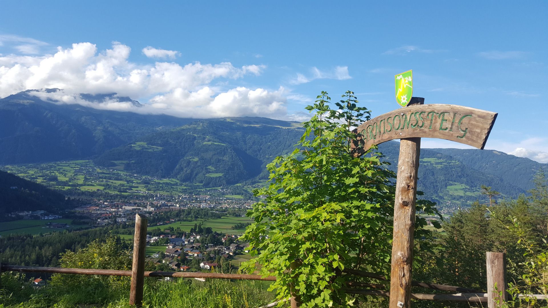
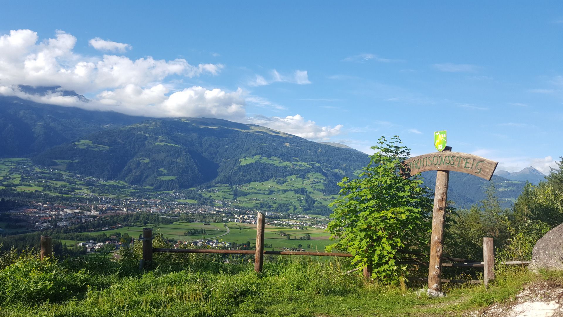
Garnisonssteig
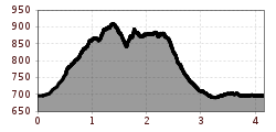
From the Goggkreuz (close to Gasthaus Waldschenke), after a few minutes of walking on a gravel path, you reach a junction which proceeds via a forest trail to the Leisach natural toboggan run.
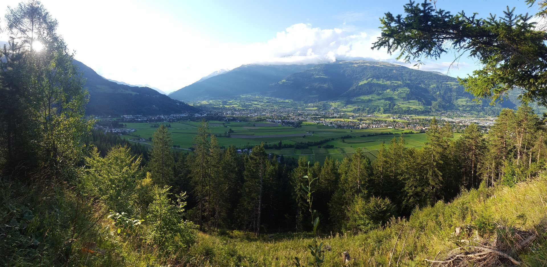
The forest trail leads to the natural toboggan run, from where, after a few switchbacks, you come to the starting point of the Garnisonssteig. Take in the wonderful views to the Lienz valley floor here.
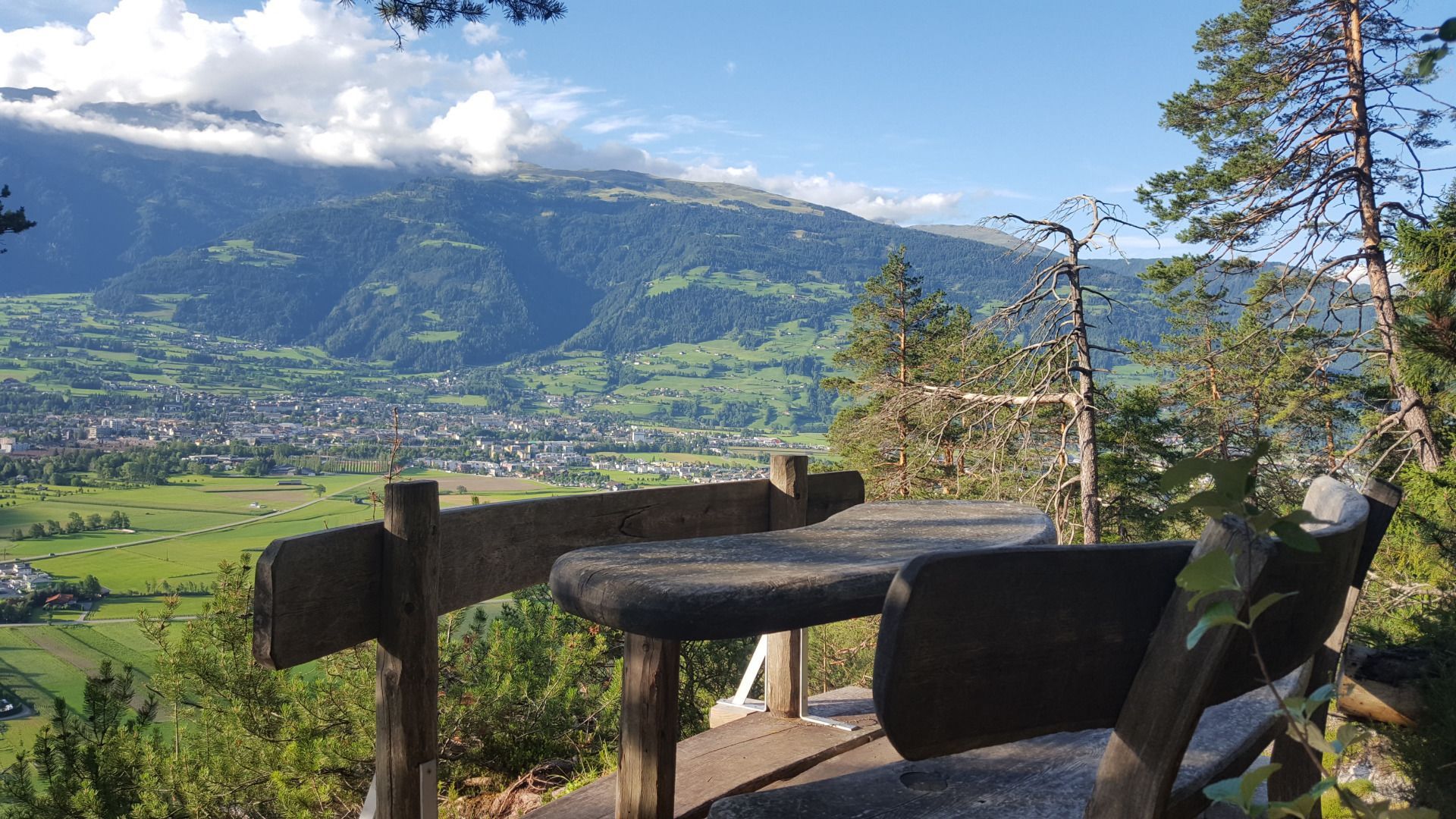
With the town below you, proceed now via the Garnisonssteig, constantly undulating, beneath the Rauchkofelwände, proceeding east. The few somewhat more difficult passages are secured by steel cables and require some surefootedness and concentration. Garnisonssteig then leads to a wide gravel path and from there, you proceed down to Ulrichsbich / Amlach again. Walk back again via nice forest and hiking trail to the starting point, the Goggkreuz.
Mit dem Bus bis zum "Amlacher Dorfplatz".
Parkplatz Naturrodelbahn Lienzer Dolomiten (Leisach)


