Arrival by public transport
Arrival with the Line 540 from Innsbruck and Hall in Tirol to the Glungezer Bahn stop
More information at:
High-altitude hike along the Zirbenweg and on the return with 2 scenic summits - the Sonnenspitze and the Glungezer
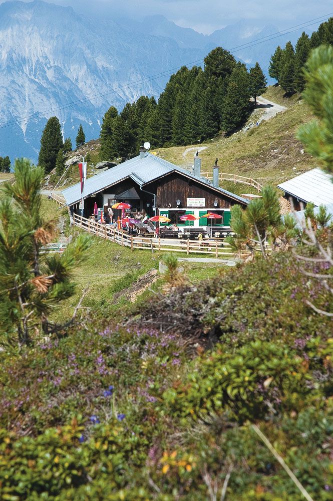
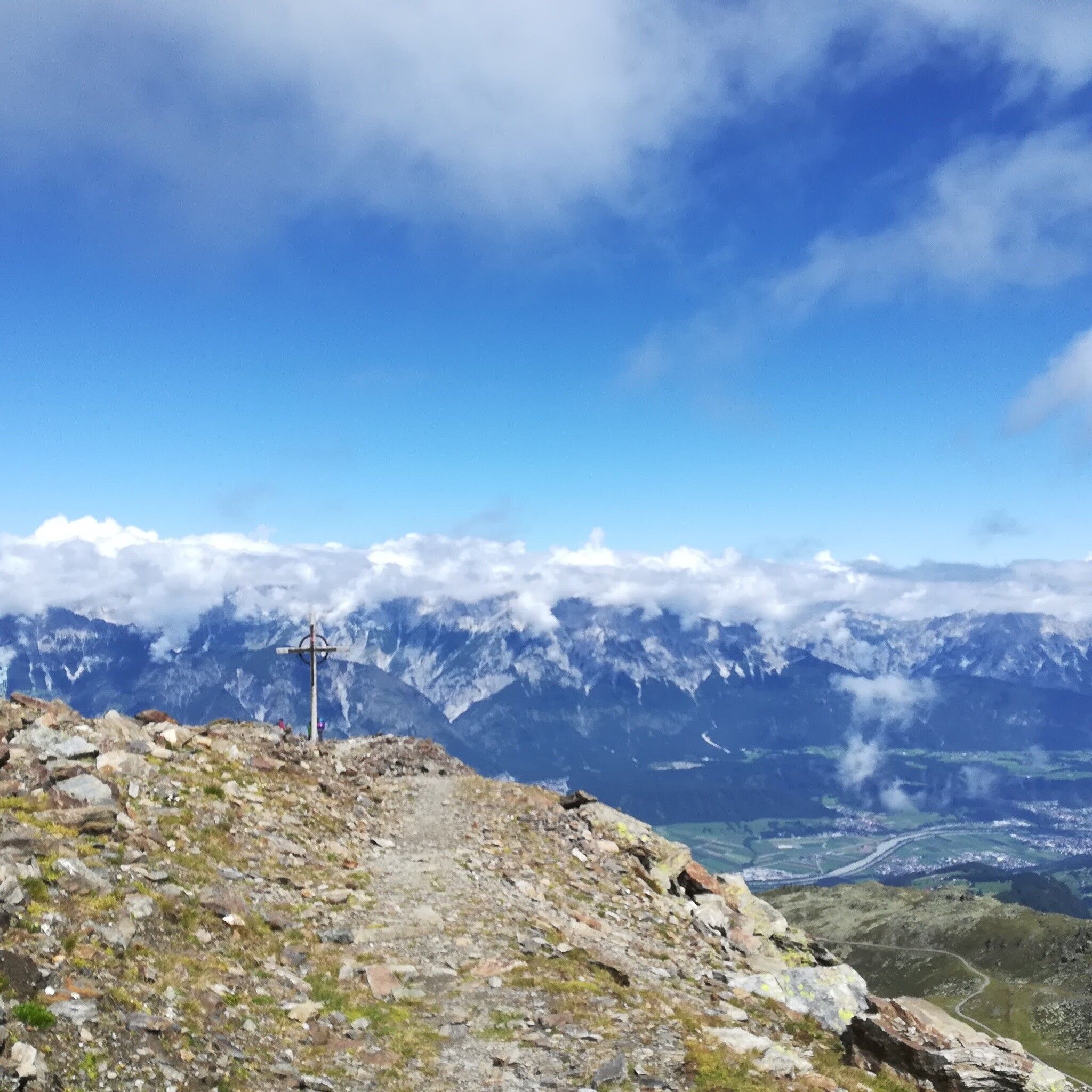
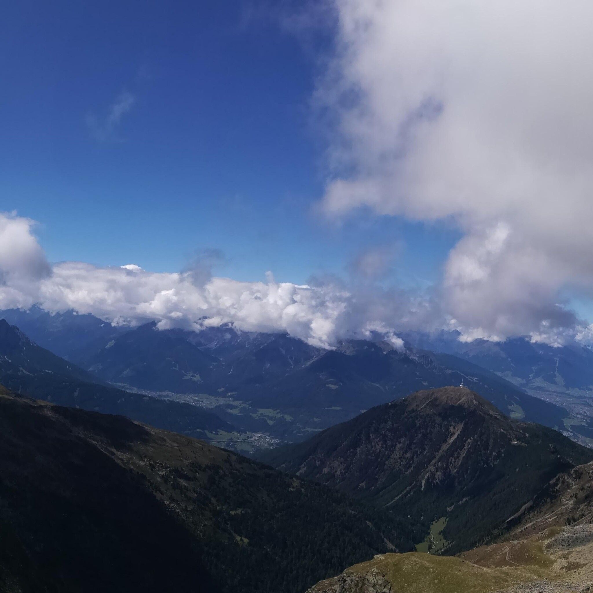
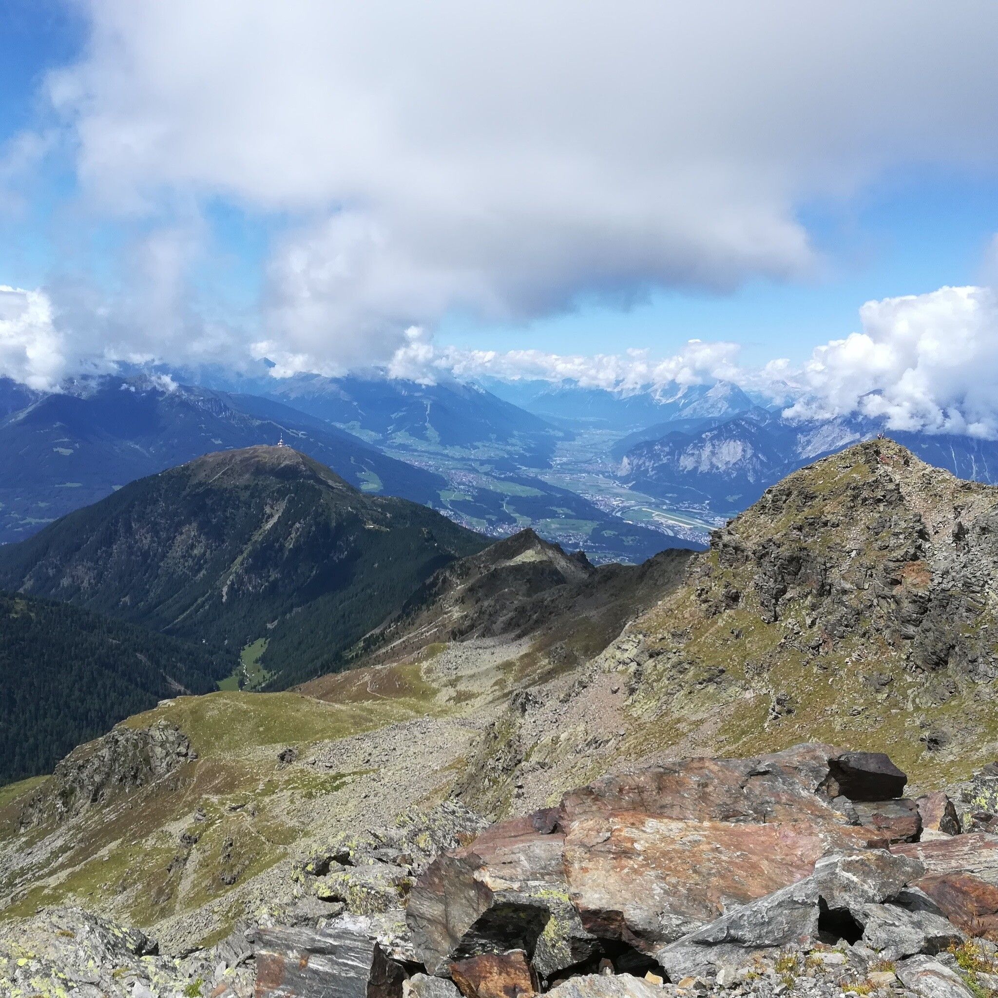
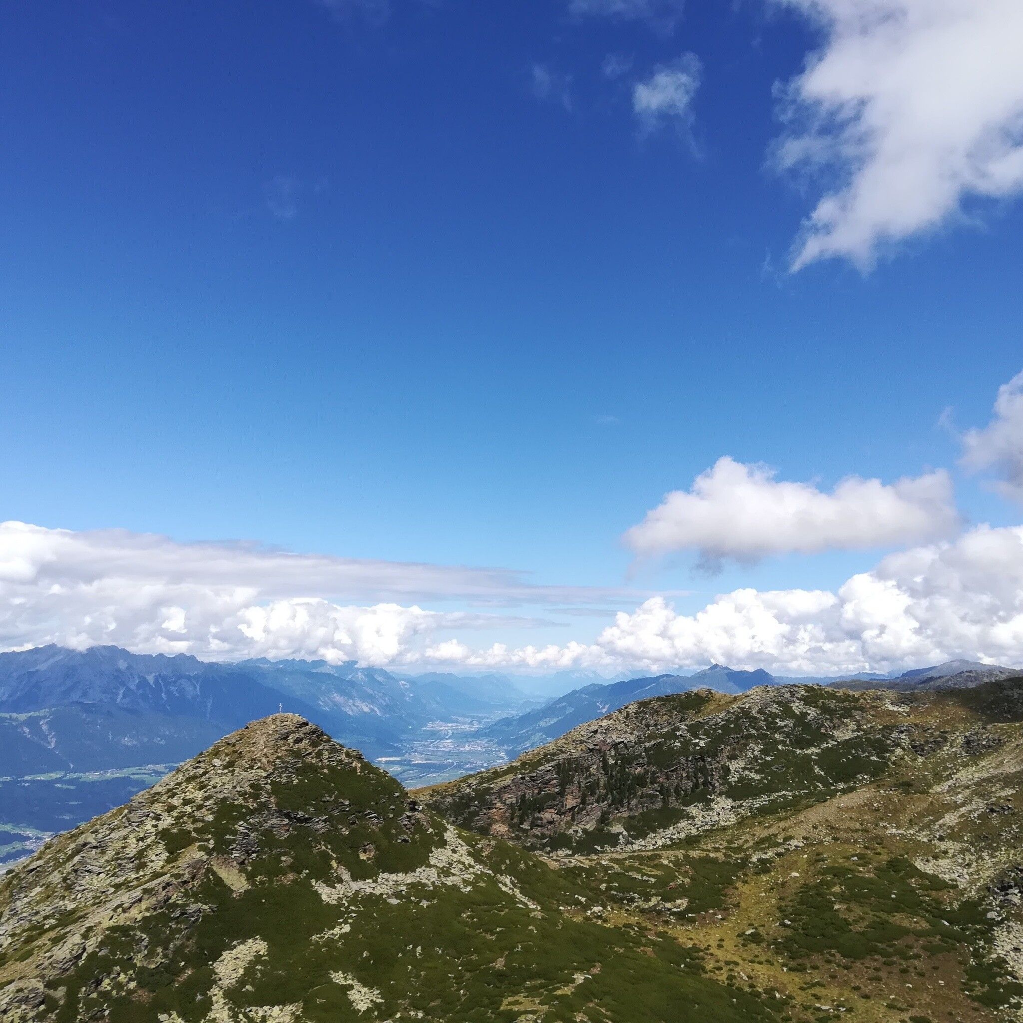
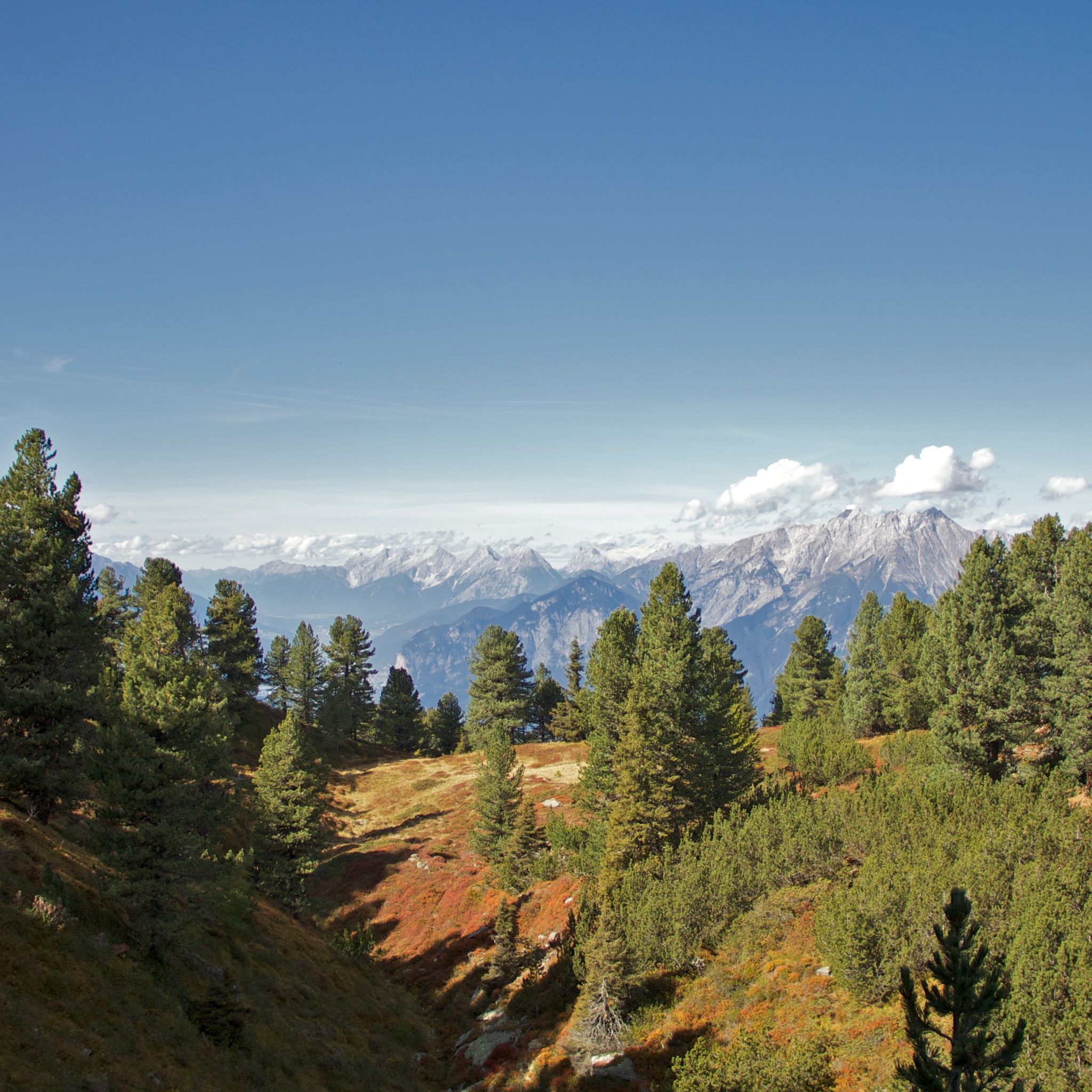
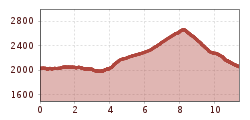
From the Glungezerbahn mountain station - along the Zirbenweg to the Boscheben guesthouse - a short return and turn right onto the Inntaler Höhenweg, with a detour to the Sonnenspitze (2639 m) and the Glungezer (2678 m), back to the Glungezerbahn mountain station.
Arrival with the Line 540 from Innsbruck and Hall in Tirol to the Glungezer Bahn stop
More information at:
Parking is available directly at the Glungezerbahn


