
Opening hours:Open today
Place:Grinzens
:Alpine pasture / hut / mountain restaurant:vegetarian
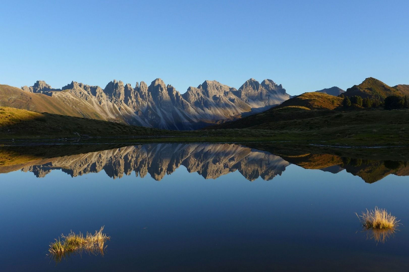
Hike to the Salfainssee biotope
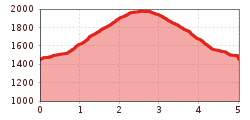
From the car park, we hike across the bridge over the Senderbach stream and then follow the forest road for a short distance. A few metres after the first left-hand bend, we turn right to follow the shortcut along a wide, cleared path through the trees, crossing the road once more and continuing up to the private Salfains Alm mountain hut (1,738 m).
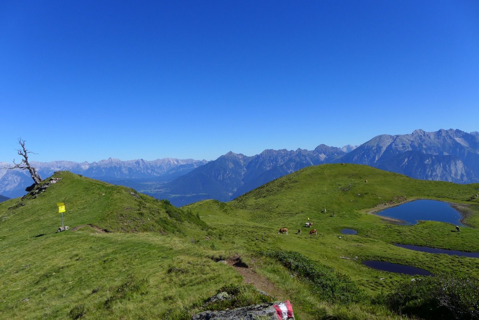
From the hut, we hike diagonally uphill to a small wooden cross, before continuing west through a small bowl and then out to the right onto the wide plateau that is home to the romantic Schönangerl/Salfainssee biotope and the Salfains hill (2,000 m). If you hike north for about 300 m from there, you will come to a small summit cross located just below the hill with magnificent views of the Inn Valley.
Descent: hike back along the ascent route as described above or take the route via the Kemater Alm mountain hut, where you can stop for a break and a bite to eat.


.jpg")


.jpg")


_WaLogo.jpg")


