Mountain hikes Hiking on the Hirzer

Wattenberg / Tuxer Alpen
Difficulty ratings: difficult
Route length: 18.0 km
Duration: 8:00 h

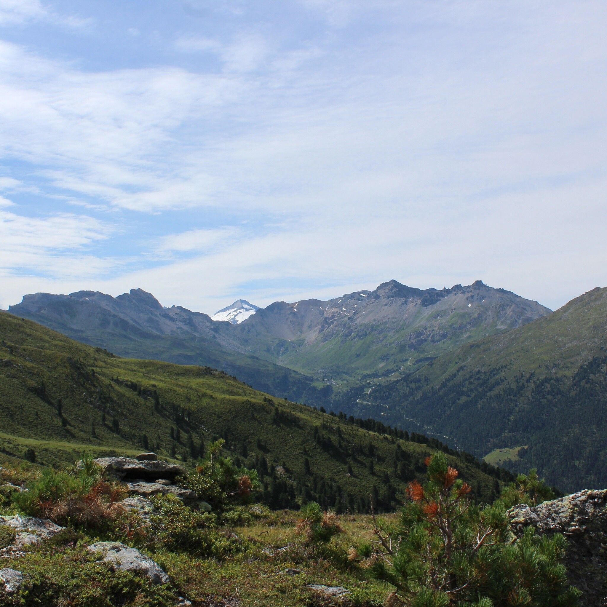
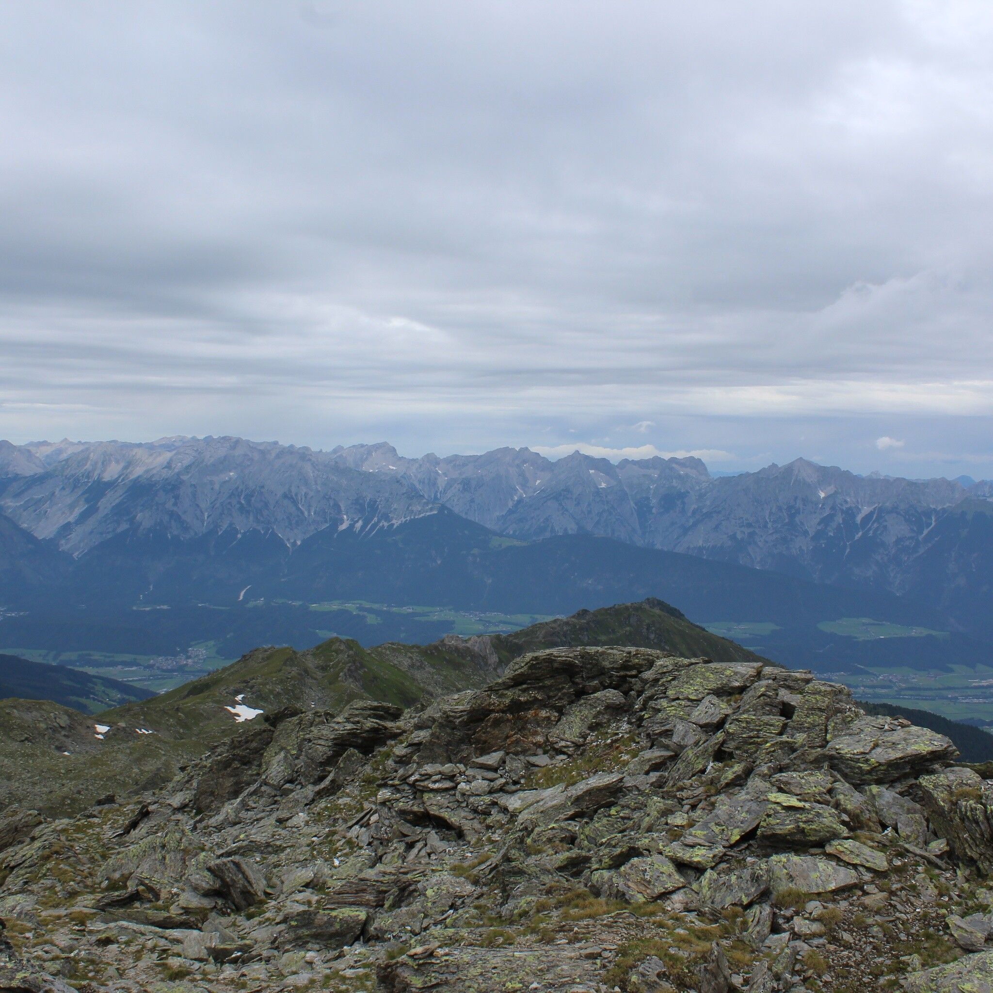
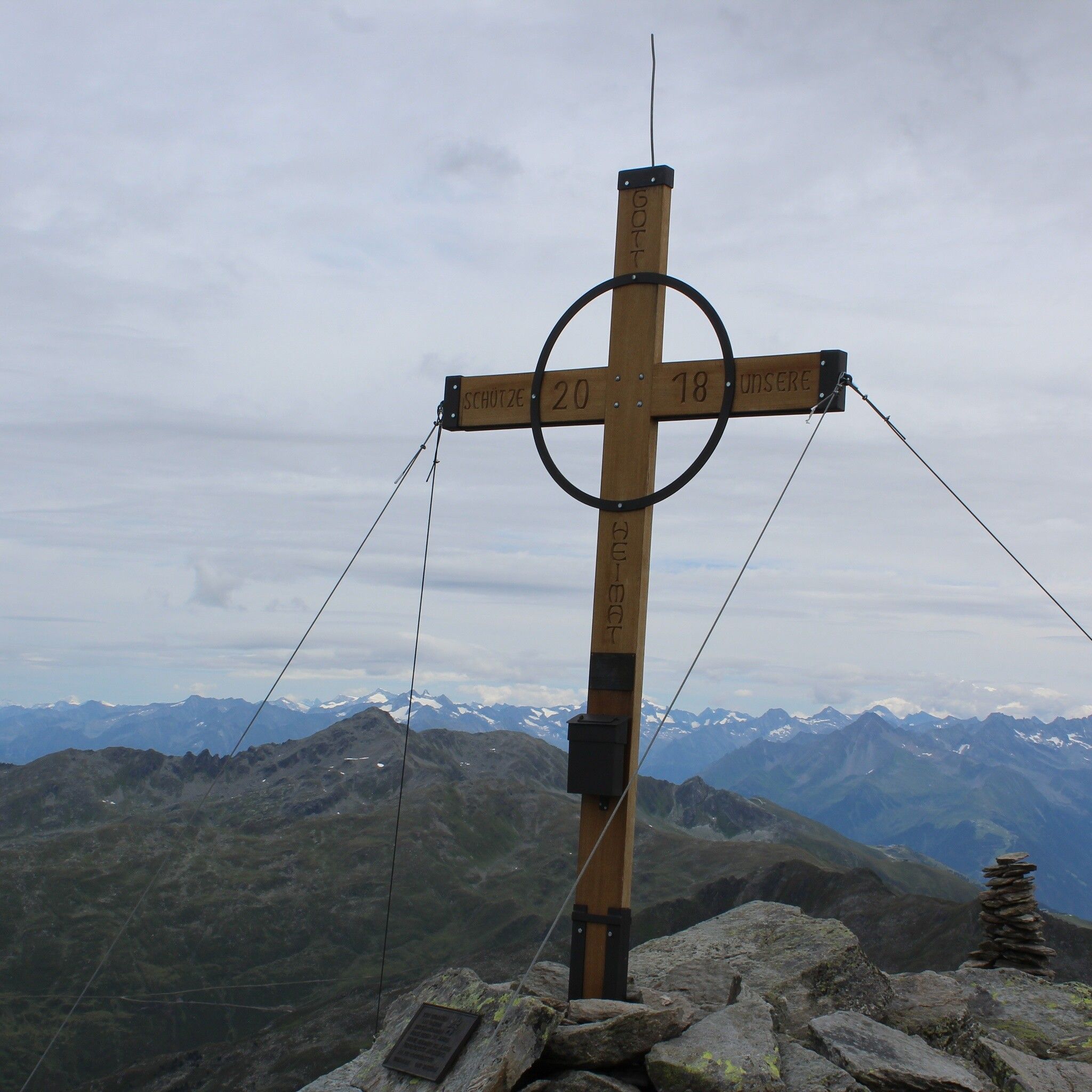
The 360° view from the Hirzer makes up for the long ascent.

Tour information

  • Requirement: difficult
  • Length: 18.0 km
  • Duration: 8:00 h
  • Elevation uphill:1,368 hm
  • Elevation downhill:1,368 hm
Highest point2,719 m

Starting point

Gasthaus Haneburger

Finishing point

Gasthaus Haneburger
  • Fitness level 5 / 6

Best time of year

  • January
  • February
  • March
  • April
  • May
  • June
  • July
  • August
  • September
  • October
  • November
  • December
Source: Hall Wattens

Description

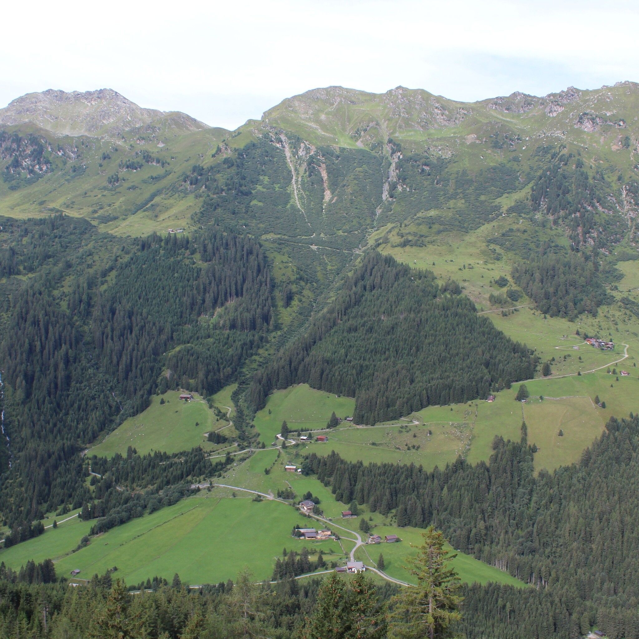
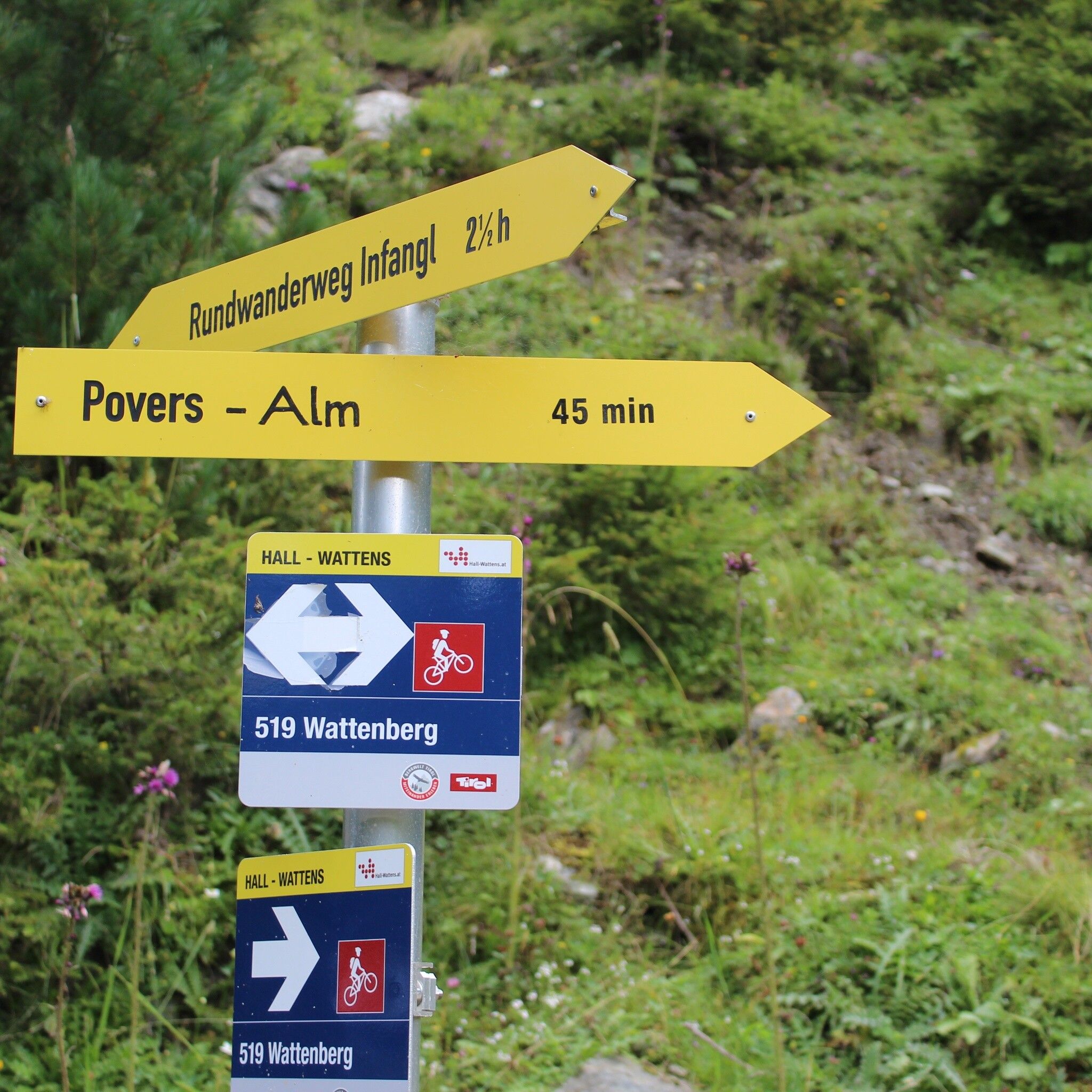
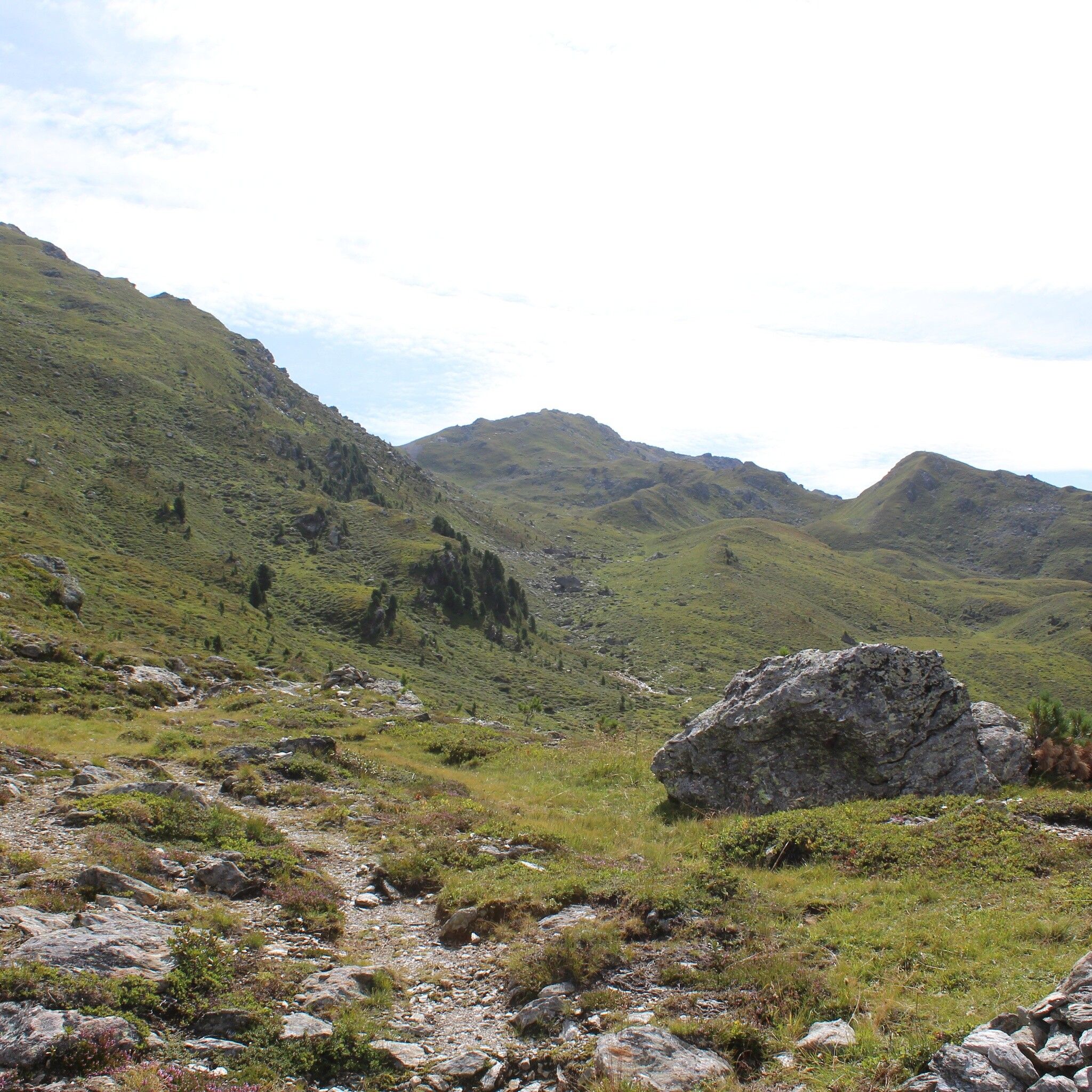
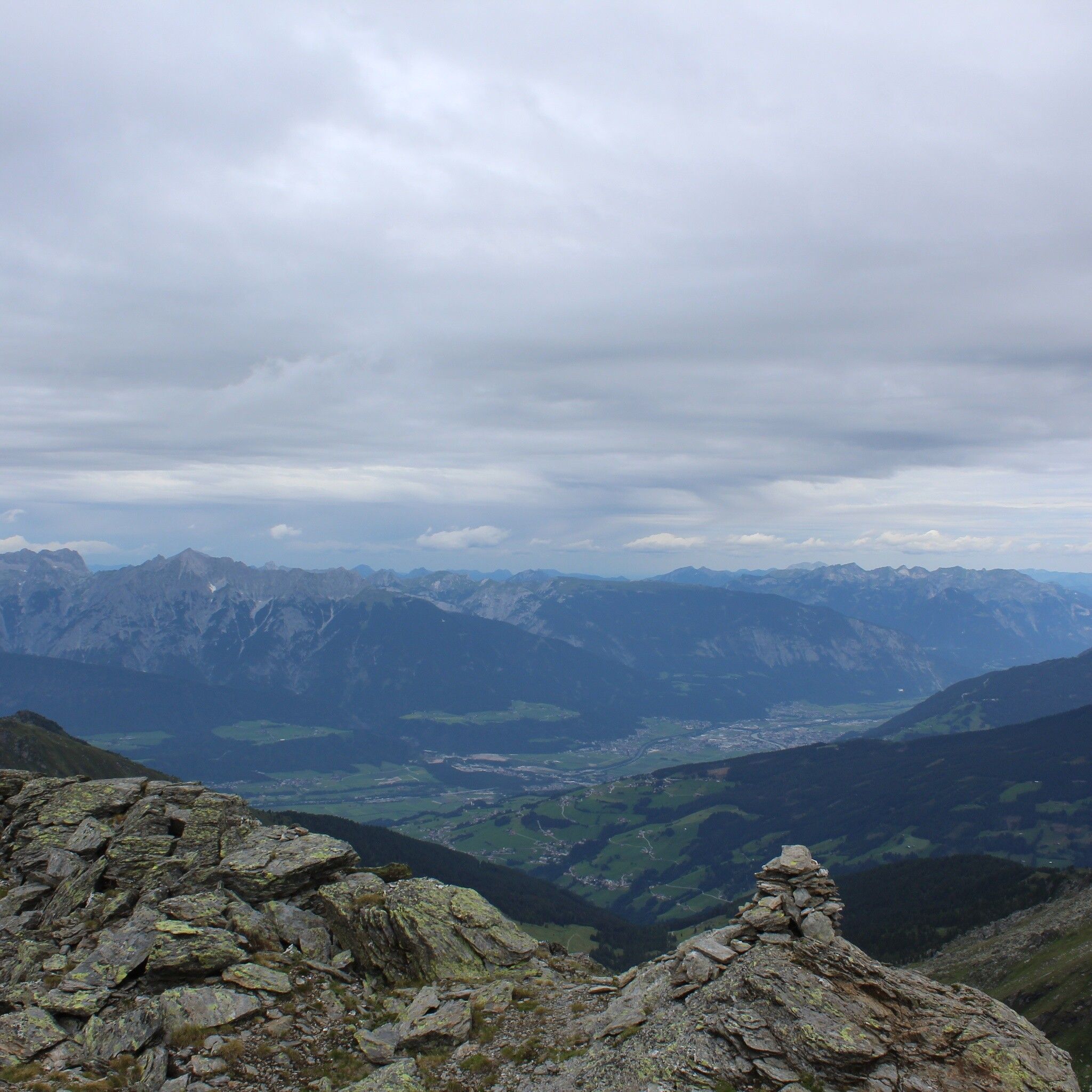
This route, frequently used in winter, offers pure solitude in summer. You should have a bit of orientation skills, as the summit destination is not signposted except for a sign at the Povers Alm and the markings are heavily faded. Cairns reliably mark the way.

Getting here

  • Parking

    Enough parking spaces just before the Gasthof Hanneburger

More tours in the surrounding area

Newsletter

The mountain is calling? So does our newsletter!

In our monthly newsletter we reveal the best holiday tips for Tyrol.