
Place:
Stuben am Arlberg
:
Alpine pasture / hut / mountain restaurant
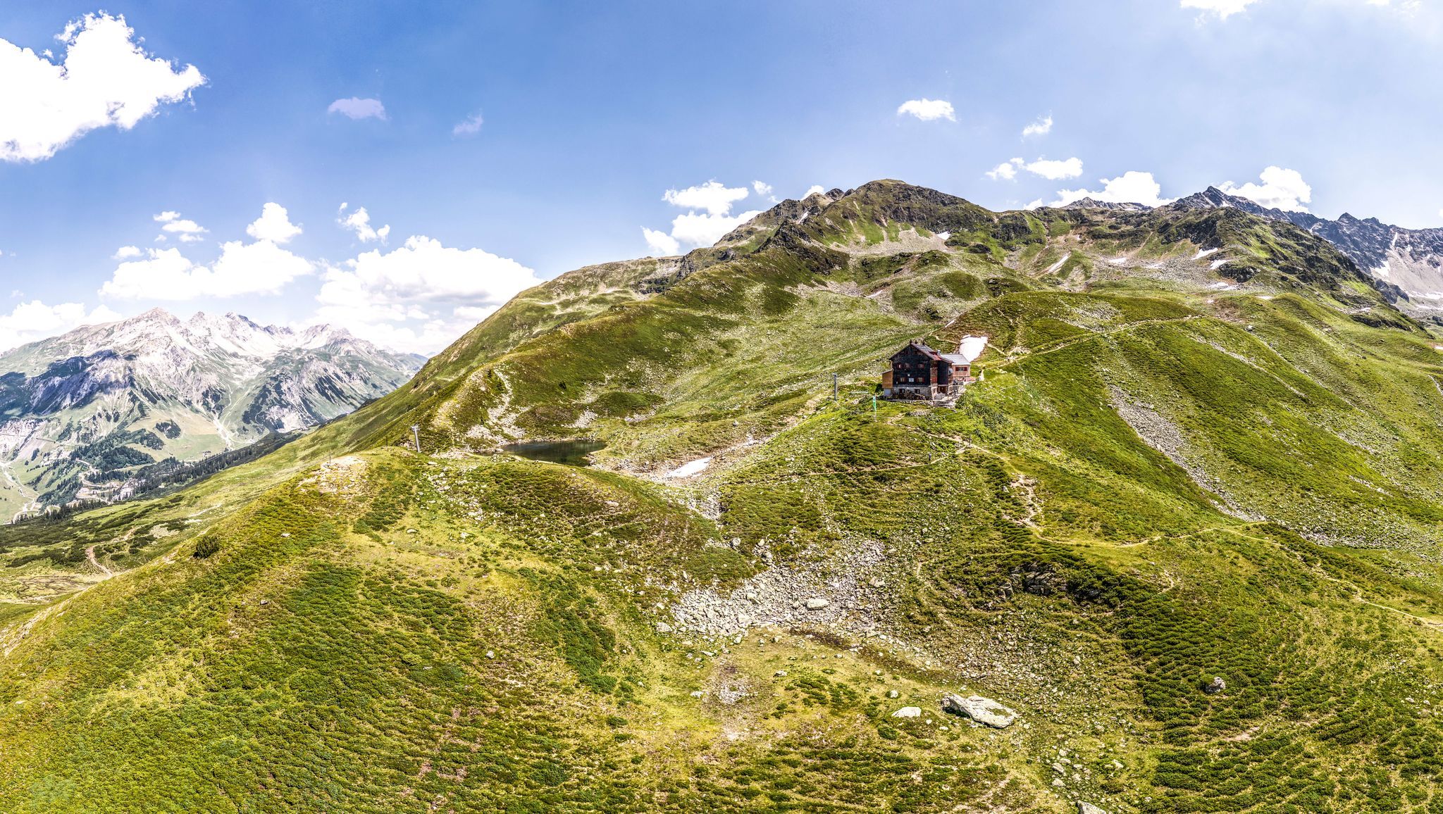
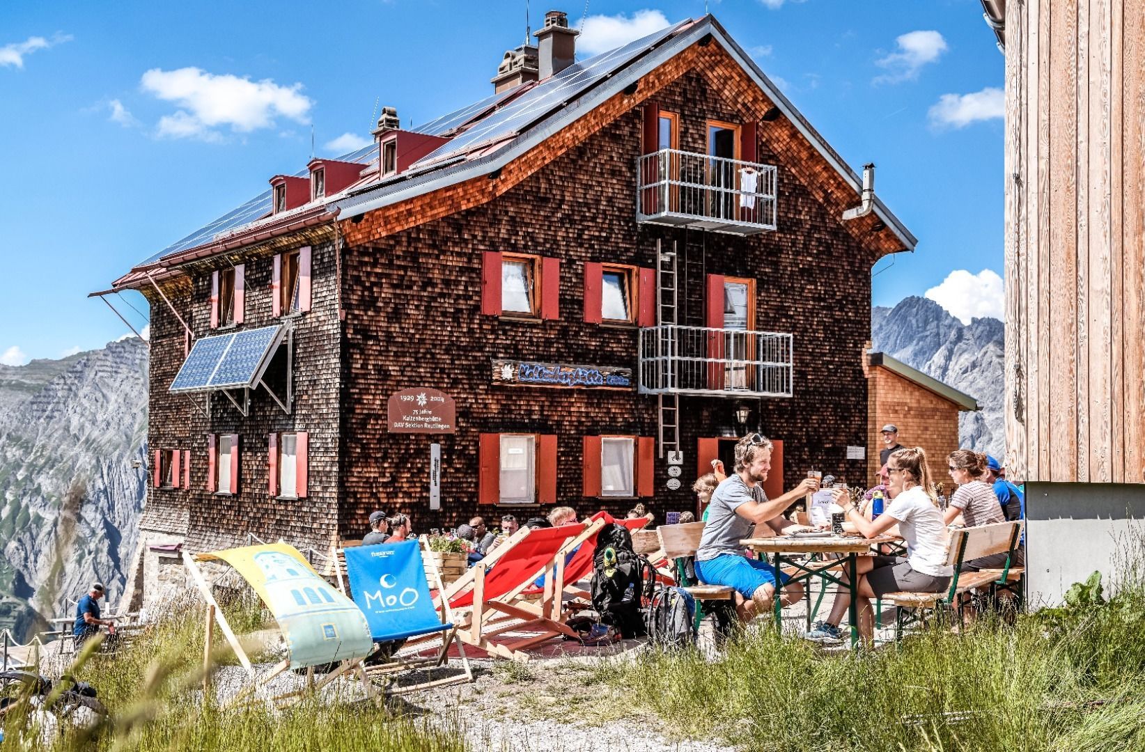
Kaltenberg Hut, 2089 m
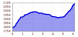
Behind the Valluga Inn, follow the signs to the Kaltenberg Hut (trail 19) until you reach the Berggeistweg/Kaltenberg Hut fork. Here follow trail 19 to the right past the Albona lakes, slightly undulating to the ventilation tower of the Arlberg tunnel and continue on the forest road westwards to the fork left onto the Paul-Bantlin-Weg to the Kaltenberg Hütte (St). Return on the same trail.


