
Place:
Pettneu am Arlberg
:
Alpine pasture / hut / mountain restaurant
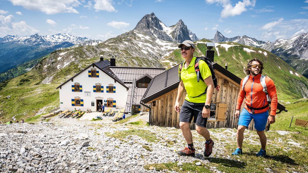
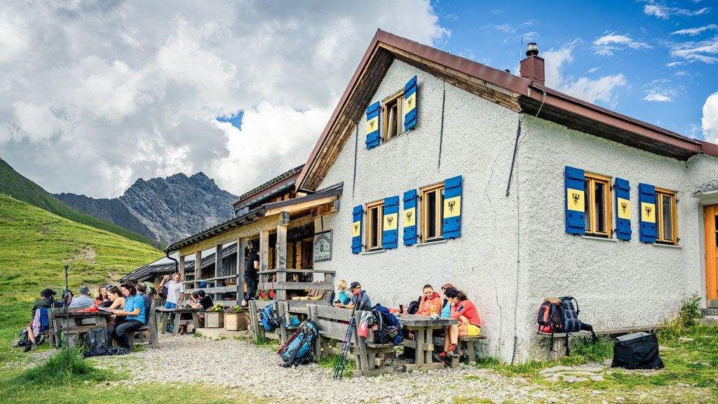
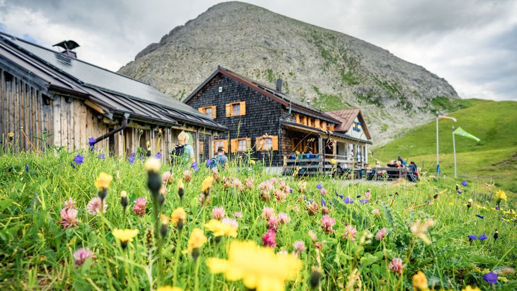
Kapall - Leutkircher Hut - Kaiserjochhaus - Pettneu
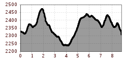
From the chair lift mountain station, head north over the Kapallkopf and down into a valley. Next, head east over the slopes of the Weißschrofen- and Bacherspitze peaks. The trail runs through rocky terrain in some sections over switchbacks up to Bacheregg and on to Almajurjoch. Head east over the mountain meadows to the Leutkircher Hütte. From the Leutkircher Hütte, the climb heads upwards and to the east, in the direction of Hirschpleiskopf. The trail crosses the grassy slopes for 150 m. Next, the route arrives at another basin under the Stanskogel, and then continues up a light climb to the Schindlekopf and on to the Kaiserjochhaus without
any additional climbs.Descent via AV 641 to Pettneu (approx. 2:30 hrs.) or the same way back and with the lift down to St. Anton an Arlberg.


.jpg")
