Mühltal via Bachpromenade to Auffach

Wildschönau / Kitzbühel Alps
Difficulty ratings: easy
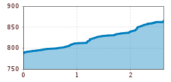
Route length: 2.6 km
Duration: 1:30 h

An easy stroll along the river to Auffach
Tour information

  • Requirement: easy
  • Length: 2.6 km
  • Duration: 1:30 h
  • Elevation uphill:73 hm
  • Elevation downhill:73 hm
Highest point871 m

Starting point

Mühltal

Finishing point

Auffach
  • Fitness level 1 / 6
  • Technique 1 / 6

Features

  • Suitable for families

Best time of year

  • January
  • February
  • March
  • April
  • May
  • June
  • July
  • August
  • September
  • October
  • November
  • December
Source: TVB Wildschönau

Description

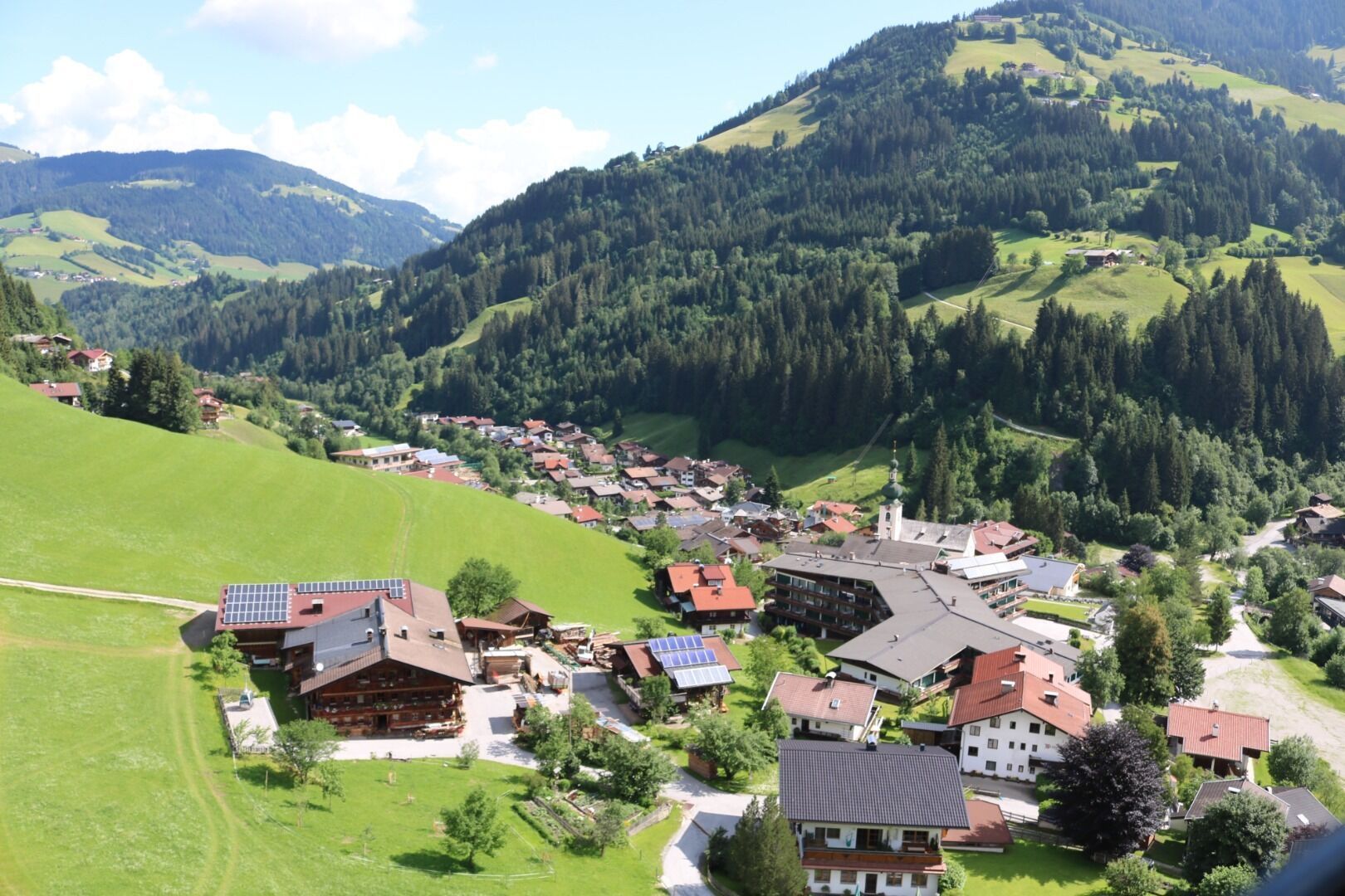
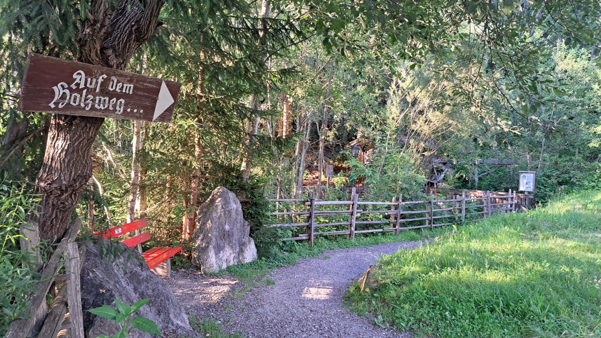
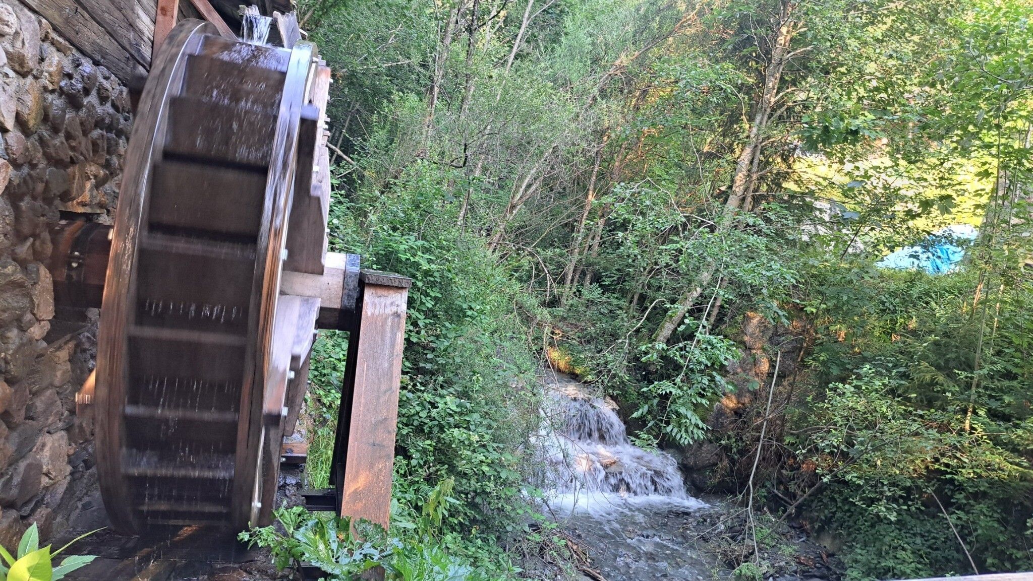
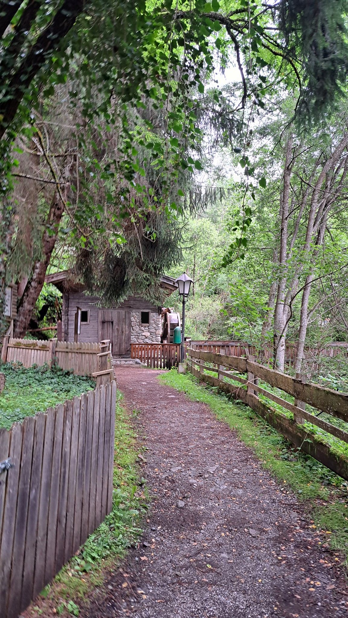
Start in Mühltal and walk along the road for a short distance towards Auffach. Cross the Schinter bridge and continue along the river to Auffach.


Weather

Today

clear sky
22°C/7°C
35%0.5l10 km/h

Thu

light rain showers
17°C/7°C
90%19.2l10 km/h

Fri

cloudy
12°C/6°C
55%0.4l10 km/h
Go to weather forecast

More tours in the surrounding area

  • Schatzberg and Joel Spitze

    Difficulty:medium
    Length:7.3 kmDuration:3:00 hElevation uphill:400 m
  • Oberau - Kragenjochkreuz

    Difficulty:medium
    Length:7.9 kmDuration:3:00 hElevation uphill:513 m
  • The Wildschönau High Trail

    Difficulty:medium
    Length:14.8 kmDuration:6:30 hElevation uphill:760 m
  • Möslalm circular route

    Difficulty:easy
    Length:9.8 kmDuration:3:00 hElevation uphill:289 m
Newsletter

The mountain is calling? So does our newsletter!

In our monthly newsletter we reveal the best holiday tips for Tyrol.