Mountain hikes Naggalunsteig

open
Fiss / Samnaun Group
Difficulty ratings: medium
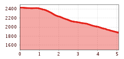
Route length: 5.1 km
Duration: 2:00 h

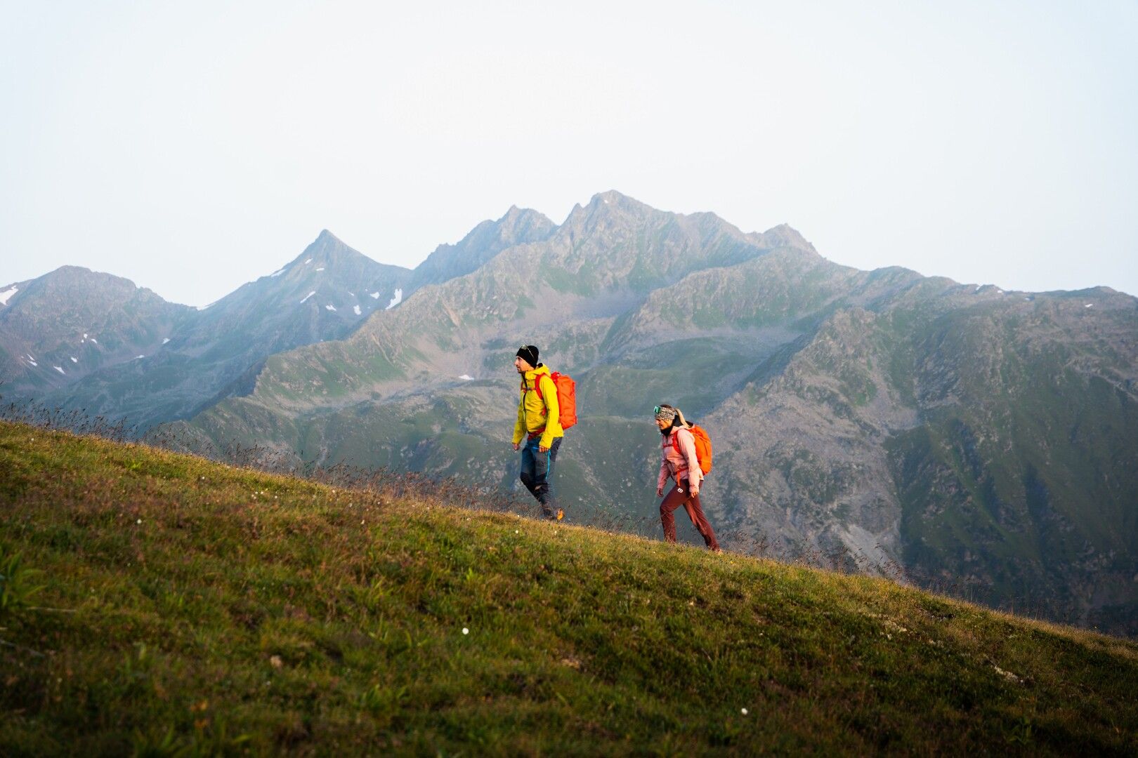
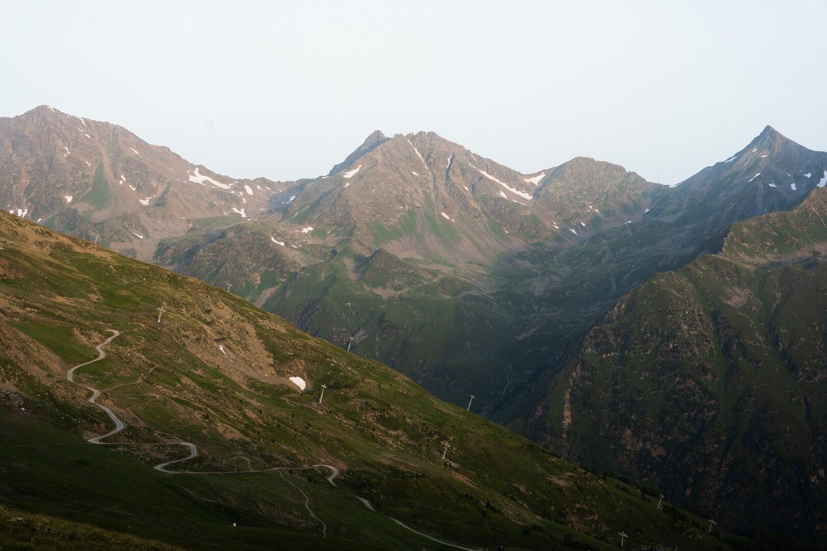
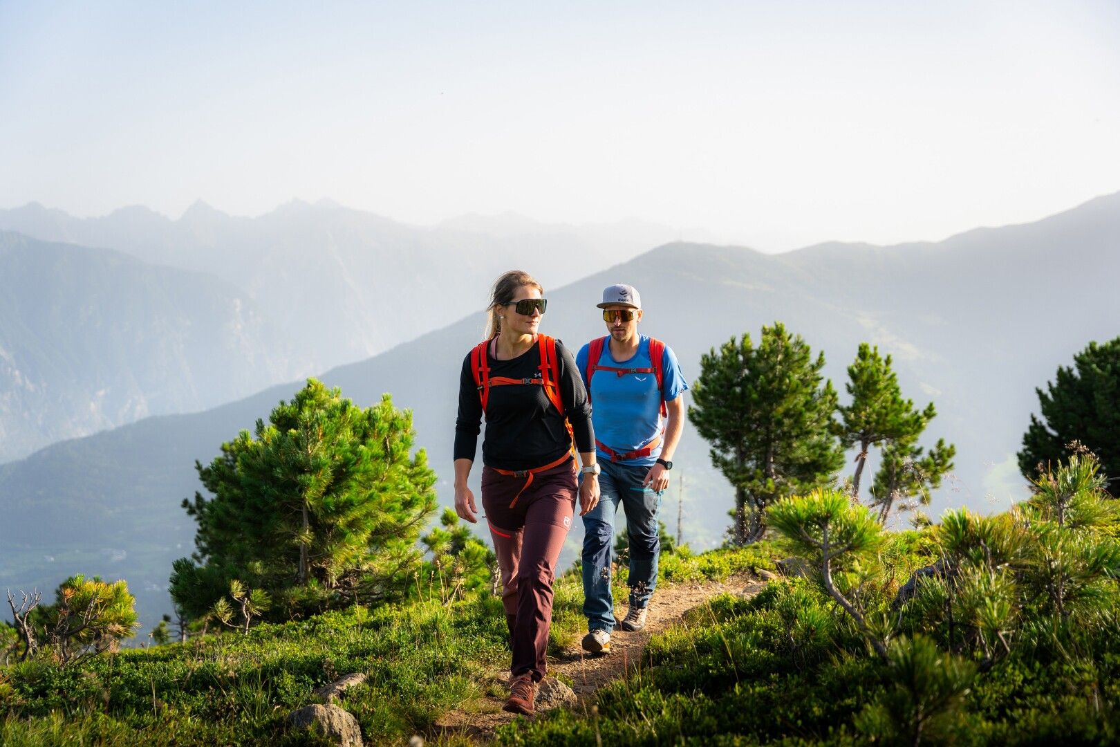
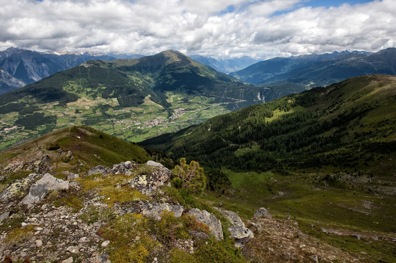
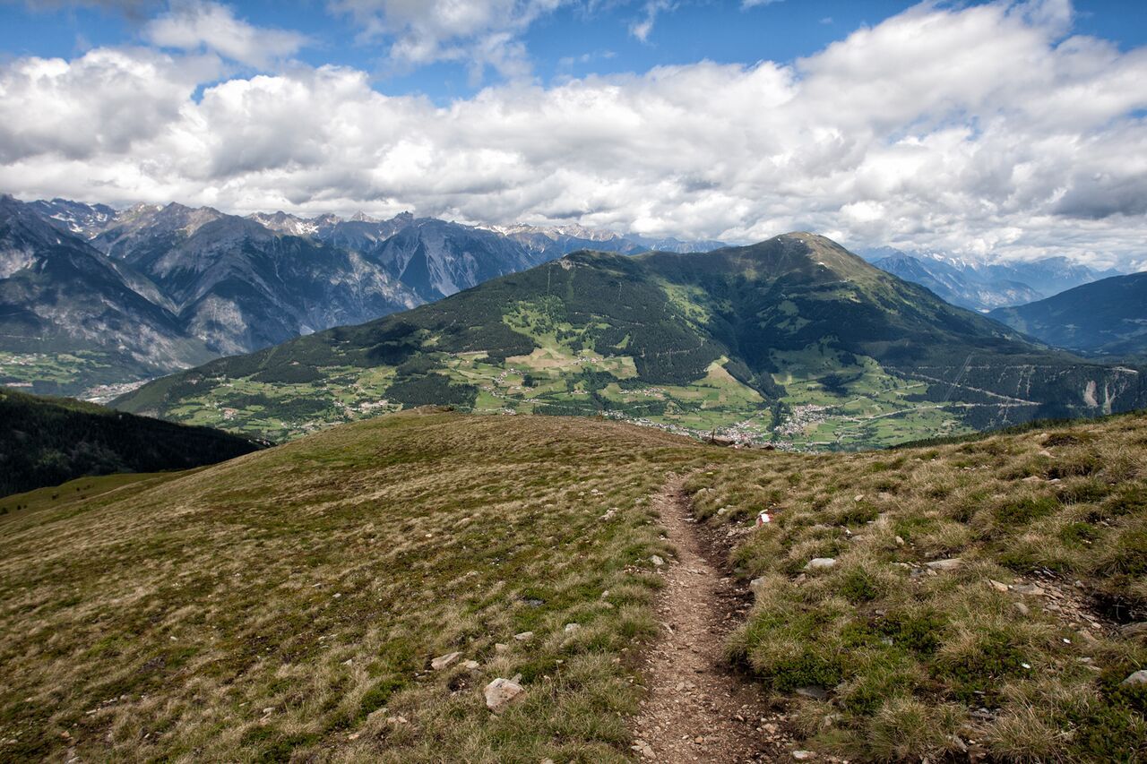
A scenic trail from Fisser Joch to Schöngampalm with impressive views into the Inn Valley and through fragrant Swiss stone pine forests.
Tour information

  • Requirement: medium
  • Length: 5.1 km
  • Duration: 2:00 h
  • Elevation uphill:0 hm
  • Elevation downhill:553 hm
Highest point2,429 m

Starting point

Schönjochbahn top station

Finishing point

Schöngampalm
  • Fitness level 2 / 6

Best time of year

  • January
  • February
  • March
  • April
  • May
  • June
  • July
  • August
  • September
  • October
  • November
  • December
Source: Serfaus-Fiss-Ladis

Description

From the cable car station on the Fisser Joch (F087) take the left trail in northeasterly direction to the cable car hut and on a flat trail over the alpine pastures to the ridge of the Naggalun (F044). Walk over this softly pillowed path with far ranging views into the Landecker basin, you arrive at the forest line, and cross the Alpenrosensteig path (F043). Turn left, cross the alpine pastures down to the Zirbenhütte (F041) and on the forest trail which starts here down to the Schöngampalm (F039).

Nearby huts and mountain restaurants

Getting here

  • Arrival by public transport

    Take the bus to Fiss. From there, take the Schönjochbahn to the mountain station, the starting point of the tour.

  • Parking

    Parking is available at the Kulturhaus Fiss and directly at the Fiss cable cars. Both parking options are subject to a fee.

Weather

Today

clear sky
23°C/10°C
0%0l5 km/h

Mon

light rain showers
23°C/12°C
50%1.5l5 km/h

Tue

mainly clear
25°C/11°C
45%1.7l5 km/h
Go to weather forecast

More tours in the surrounding area

  • Marmot Trail

    Opening hours:open
    Difficulty:easy
    Length:573 mDuration:0:20 hElevation uphill:12 m
  • Wild Animals Trail

    Opening hours:open
    Difficulty:easy
    Duration:0:31 h
  • Panorama - Genussweg

    Opening hours:open
    Difficulty:easy
    Length:1.1 kmDuration:1:15 hElevation uphill:282 m
  • Six Senses trail

    Opening hours:open
    Difficulty:easy
    Length:6.5 kmDuration:4:00 hElevation uphill:99 m
  • Oberer Spinnsee

    Opening hours:open
    Difficulty:medium
    Length:11.2 kmDuration:5:00 hElevation uphill:427 m
  • Fiss to the Oberen Sattelkopf

    Opening hours:open
    Difficulty:medium
    Length:5.6 kmDuration:3:00 hElevation uphill:1,057 m
  • Forscherpfad

    Opening hours:open
    Difficulty:easy
    Length:3.4 kmDuration:1:30 hElevation uphill:219 m
  • Murmeltiersteig (Marmot alpine trail)

    Opening hours:open
    Difficulty:medium
    Length:6.9 kmDuration:3:00 hElevation uphill:302 m
Newsletter

The mountain is calling? So does our newsletter!

In our monthly newsletter we reveal the best holiday tips for Tyrol.