Mountain hikes Fiss to the Oberen Sattelkopf

closed
Fiss / Samnaun Group
Difficulty ratings: medium
Route length: 5.6 km
Duration: 3:00 h

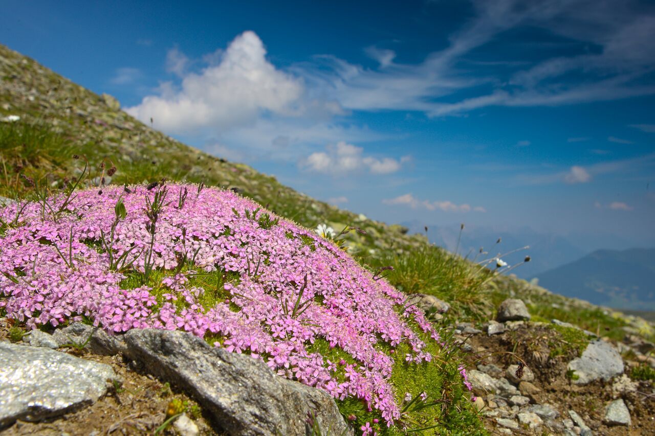
Those setting off for the upper Sattelkopf can look forward to generous sunshine and an equally generous panoramic view. The consistently south-facing ascent is free of snow earlier in the year than other tours.

Tour character

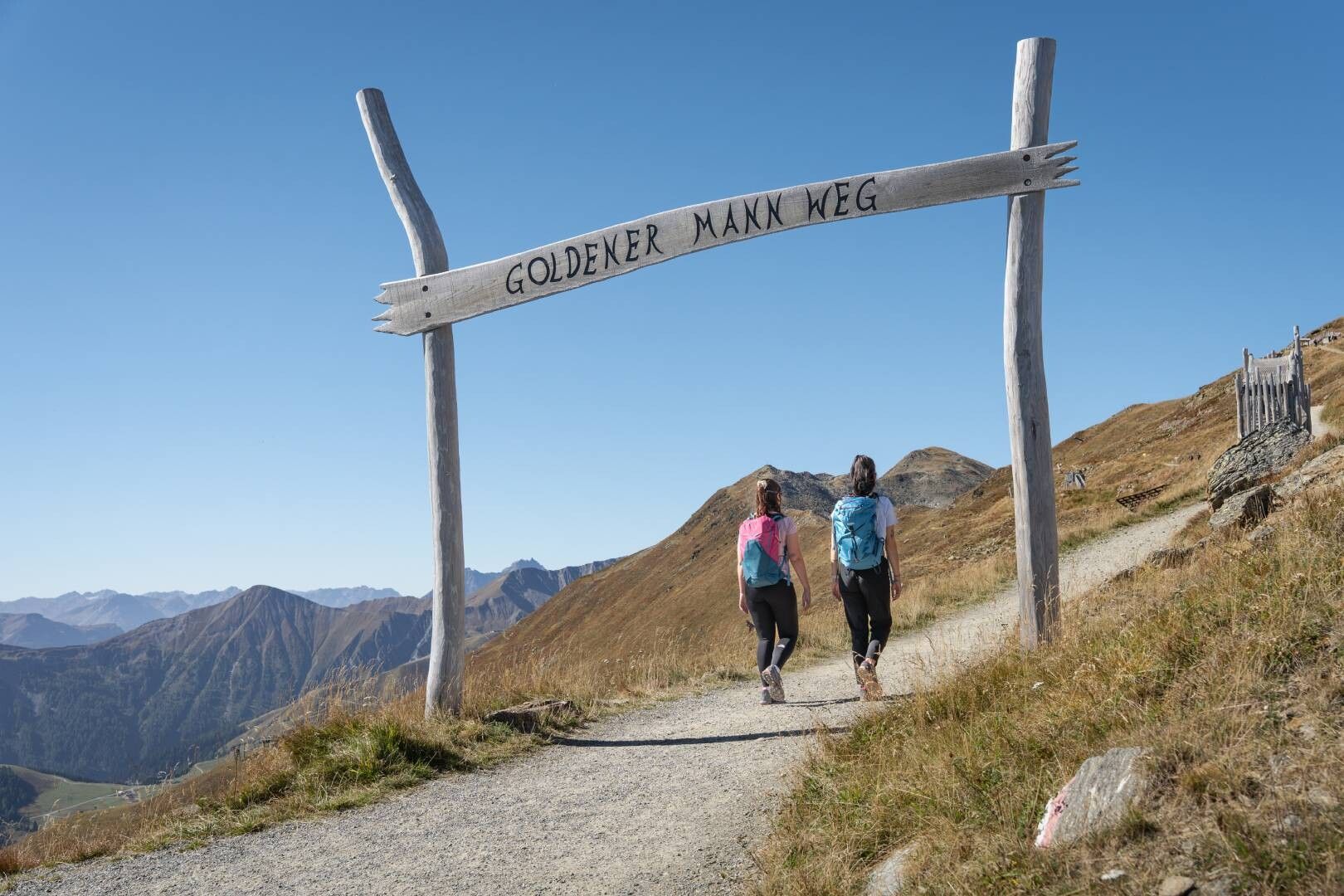
Medium-difficulty summit hike on the sunny south side of the Oberinntal valley. From the village of Fiss, the trail leads across alpine meadows and serpentines up to the striking summit cross at 2,596 m, where there are sweeping views over the Oberinntal valley and the surrounding mountains of the Samnaun and Ötztal Alps.
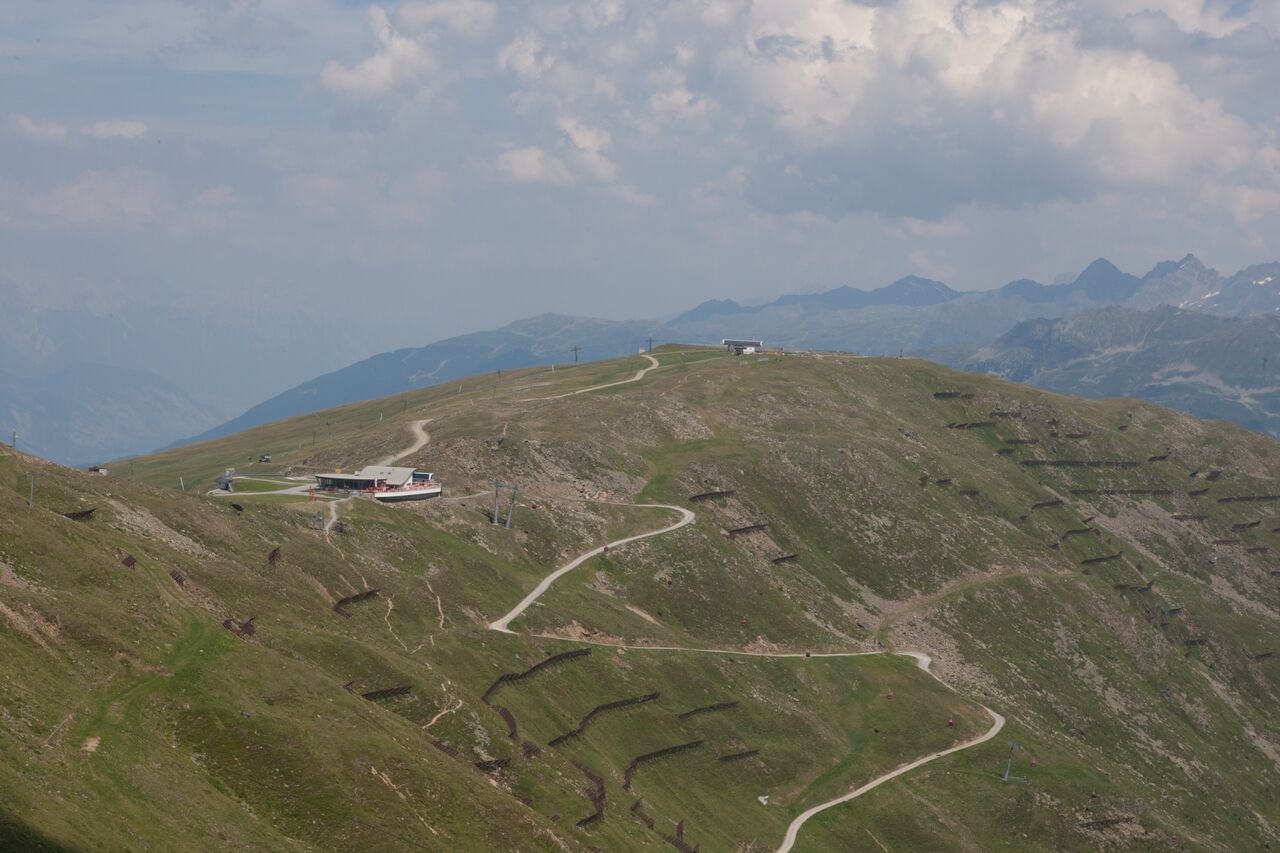
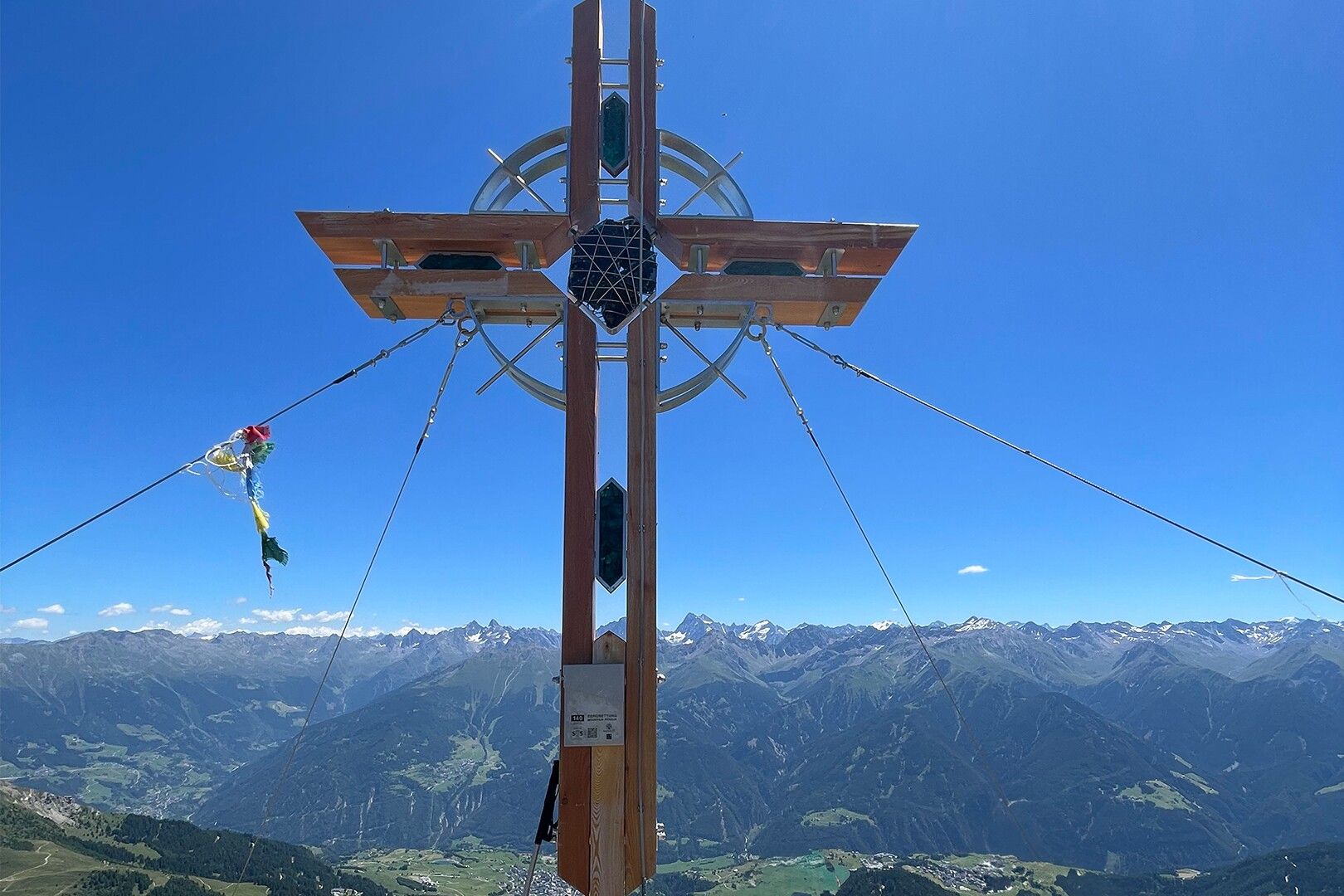
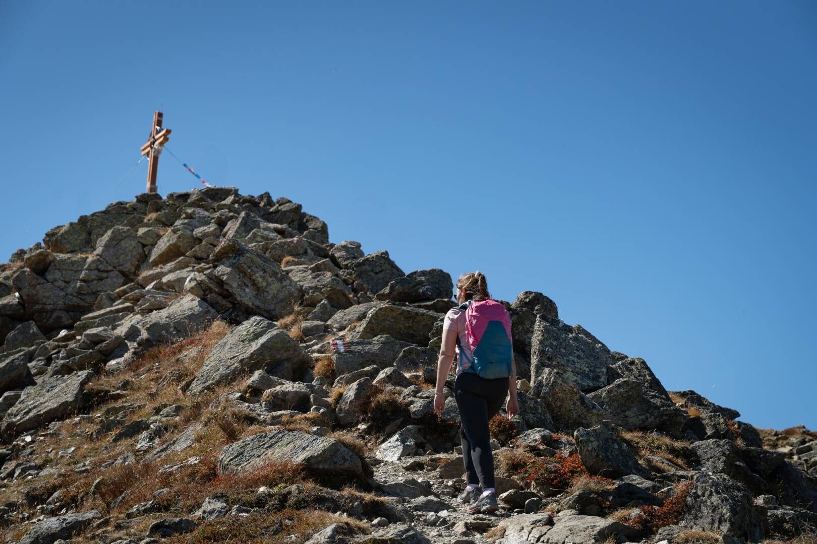
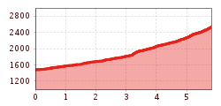
Tour information

  • Requirement: medium
  • Length: 5.6 km
  • Duration: 3:00 h
  • Elevation uphill:1,079 hm
  • Elevation downhill:14 hm
Highest point2,539 m

Starting point

Schönjochbahn valley station

Finishing point

Upper saddle head
Source: Serfaus-Fiss-Ladis

Description

Follow the road (F129, Jochweg) along beautiful mountain meadows to the Lahnewald (F118), then straight on to the Möseralm (F113). Now ascend directly in serpentines over steep mountain pastures to the ridge between the Unterer (S251) and Mittlerer Sattelkopf (S250), where the path to Komperdell (S103) also branches off. Continue right here on the wide ski trail (F111), which you soon leave again to the left and follow the trail to the lift station at the Mittlerer Sattelkopf (S250). Follow the last, somewhat steeper ascent in short hairpin bends up to the summit at 2,596 m (F110).

Nearby huts and mountain restaurants

Weather

Today

clear sky
22°C/8°C
5%0l5 km/h

Sun

clear sky
21°C/9°C
30%0.4l5 km/h

Mon

light rain showers
17°C/8°C
30%1.6l5 km/h
Go to weather forecast

More tours in the surrounding area

  • Marmot Trail

    Opening hours:open
    Difficulty:easy
    Length:573 mDuration:0:20 hElevation uphill:12 m
  • Wild Animals Trail

    Opening hours:open
    Difficulty:easy
  • Six Senses trail

    Opening hours:closed
    Difficulty:easy
    Length:5.7 kmDuration:4:00 h
  • Hiking trail to the Frommes Alp

    Opening hours:closed
    Difficulty:easy
    Length:3.9 kmDuration:1:30 hElevation uphill:273 m
  • Six Senses trail

    Difficulty:easy
    Length:6.5 kmDuration:4:00 hElevation uphill:99 m
  • Forscherpfad

    Opening hours:open
    Difficulty:easy
    Length:3.4 kmDuration:1:30 hElevation uphill:219 m
  • Murmeltiersteig (Marmot alpine trail)

    Opening hours:closed
    Difficulty:medium
    Length:6.9 kmDuration:3:00 hElevation uphill:302 m
Newsletter

The mountain is calling? So does our newsletter!

In our monthly newsletter we reveal the best holiday tips for Tyrol.