
Opening hours:Open today
Place:Natters
:Restaurant
Natterer See lake to Götzens
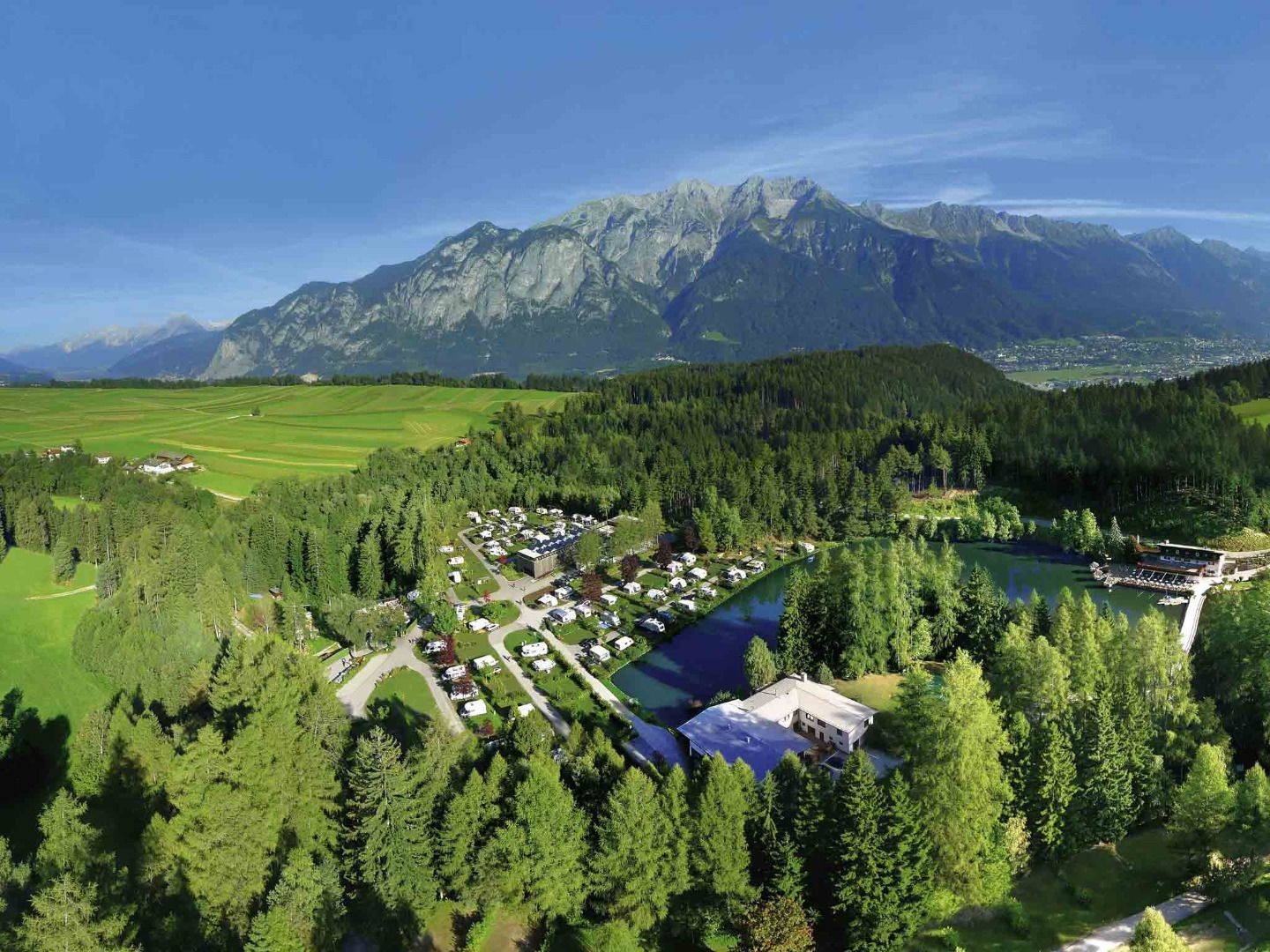
From Mutterer Straße road in Natters, the Herrenweg turns off to the west and, after a few minutes' walk, becomes the Herrensteig trail. This trail leads down through the forest before merging into Seestraße road. Along the Herrensteig, display boards provide information about the local flora and fauna. From Natterer See lake, a footpath leads past the Einethöfe to the village of Götzens.
From Natterer See or Götzens, you can either hike back to Natters via Gasthof Eichhof or use the same route for the return journey.
Bus 401 and 405 - Natters Dorfplatz stop; Stubaitalbahn STB - Natters train station stop.
.jpg")


_WaLogo.jpg")


.jpg")


