Mountain hikes Naviser Jöchl

Tulfes / Tuxer Alpen
Difficulty ratings: medium
Route length: 29.3 km
Duration: 8:00 h

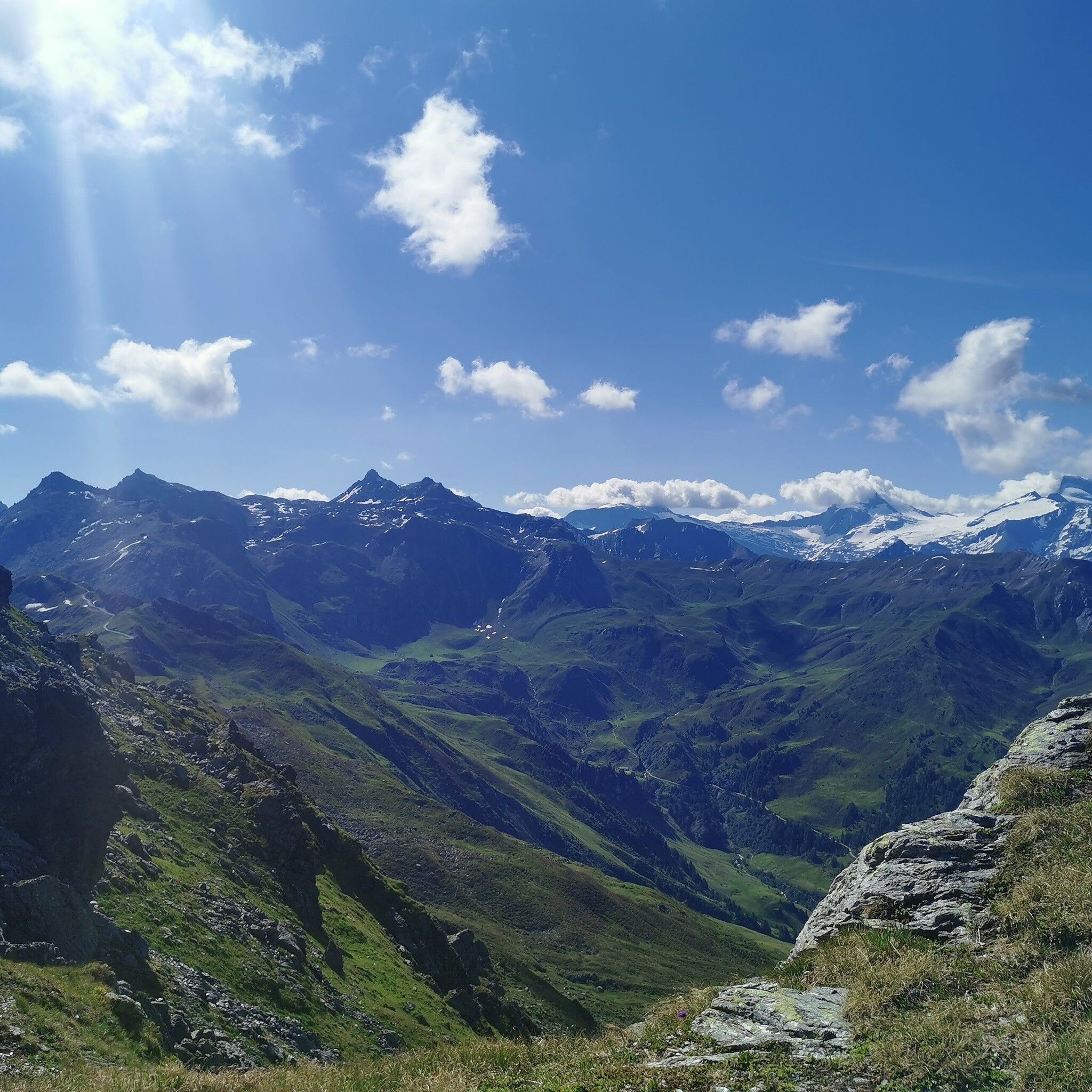
Beautiful nature experience in the Tux Alps with possible traverse into the Navistal

Tour information

  • Requirement: medium
  • Length: 29.3 km
  • Duration: 8:00 h
  • Elevation uphill:1,710 hm
  • Elevation downhill:1,710 hm
Highest point2,478 m

Starting point

Tulfes, Zentrum

Finishing point

Tulfes oder Navistal
  • Fitness level 4 / 6

Best time of year

  • January
  • February
  • March
  • April
  • May
  • June
  • July
  • August
  • September
  • October
  • November
  • December
Source: Region Hall - Wattens

Description

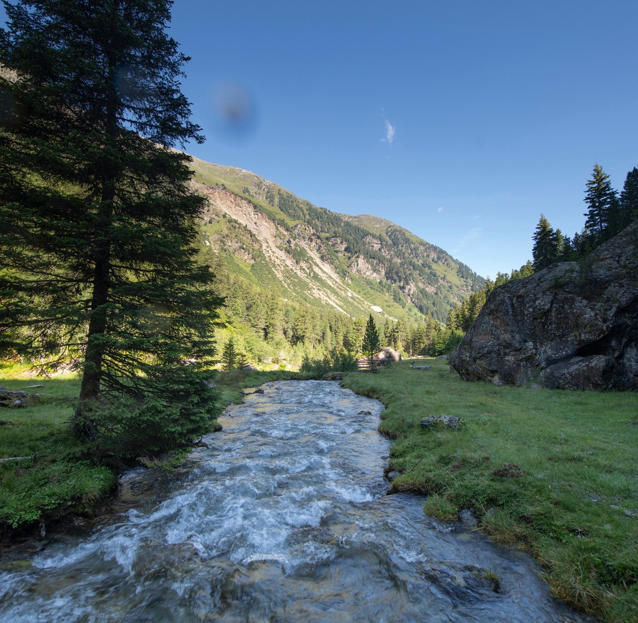
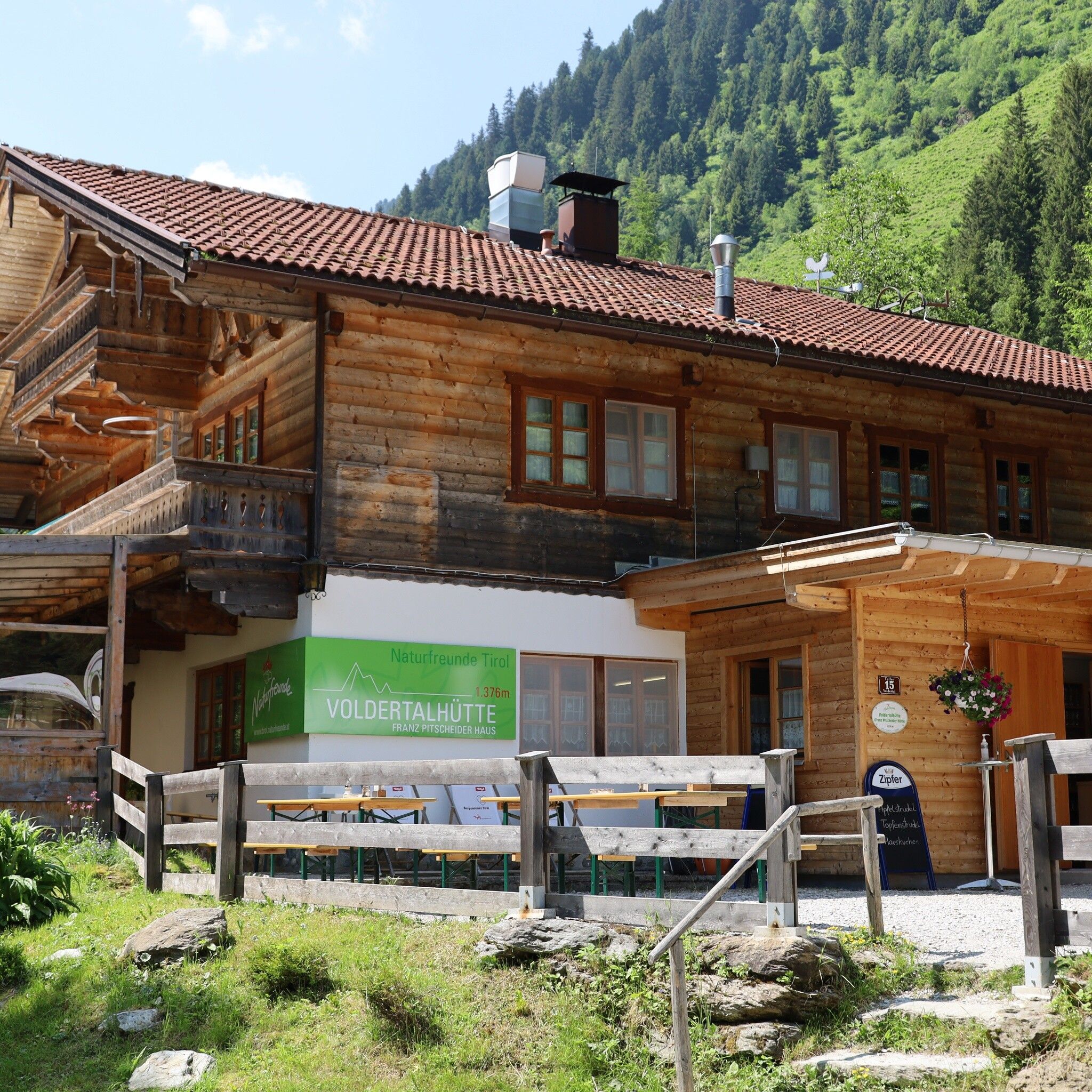
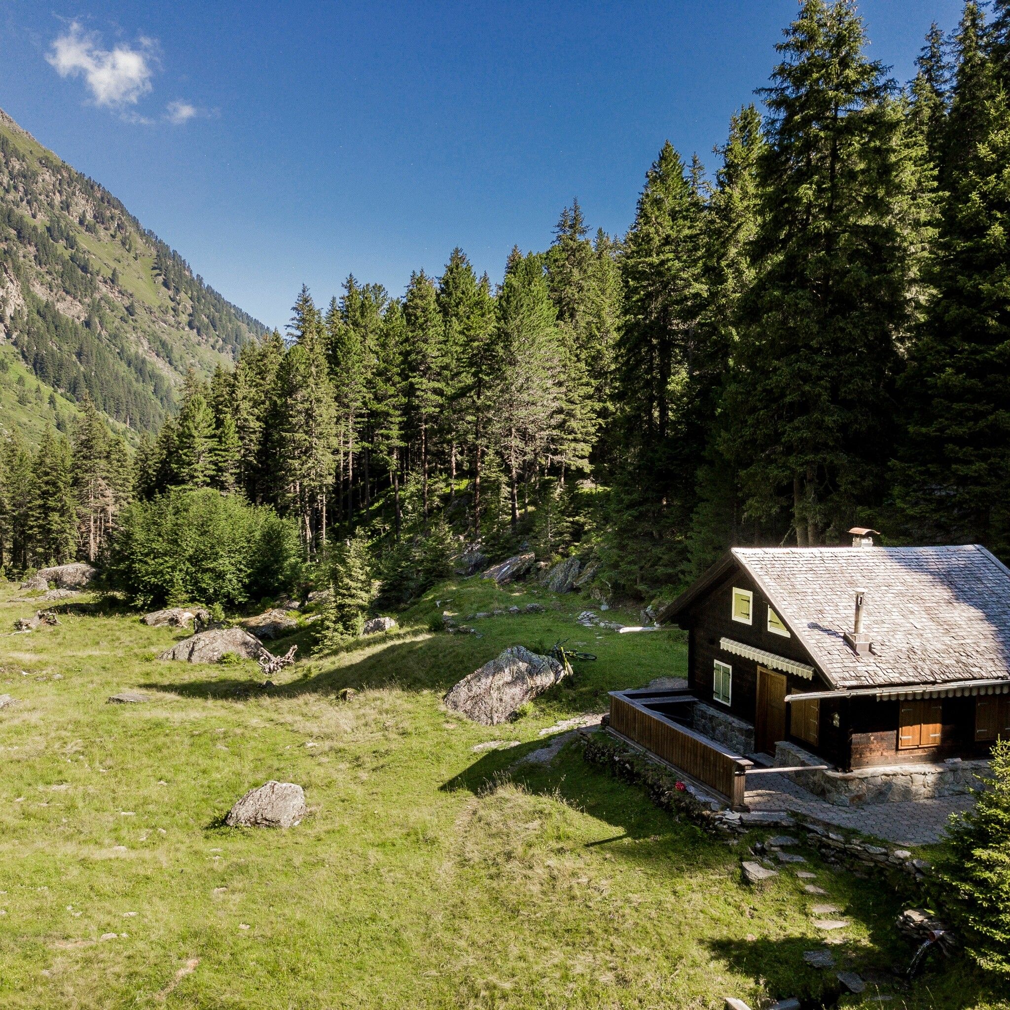
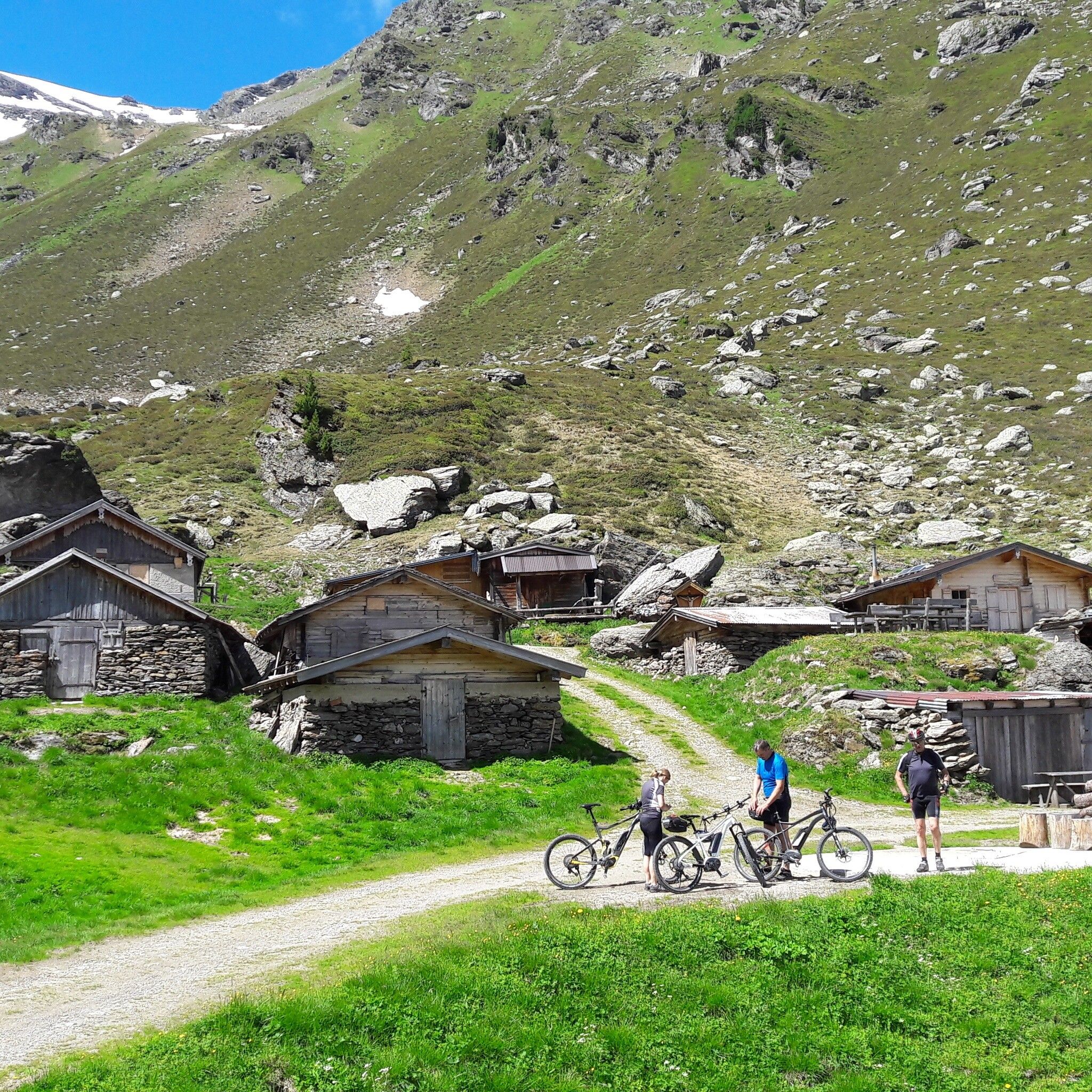
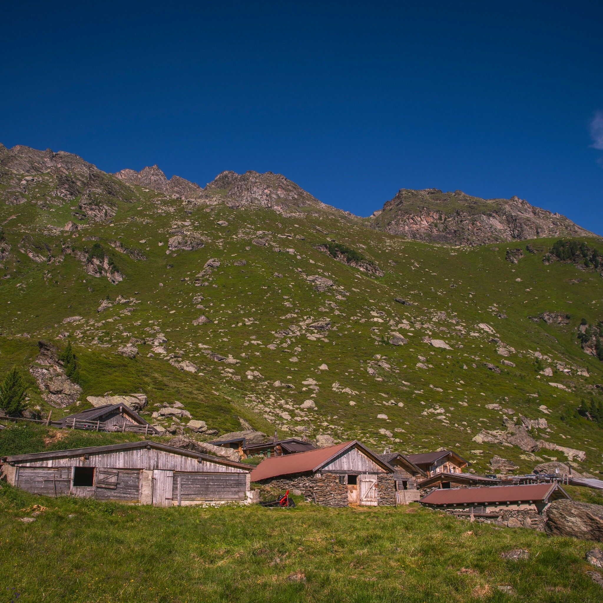
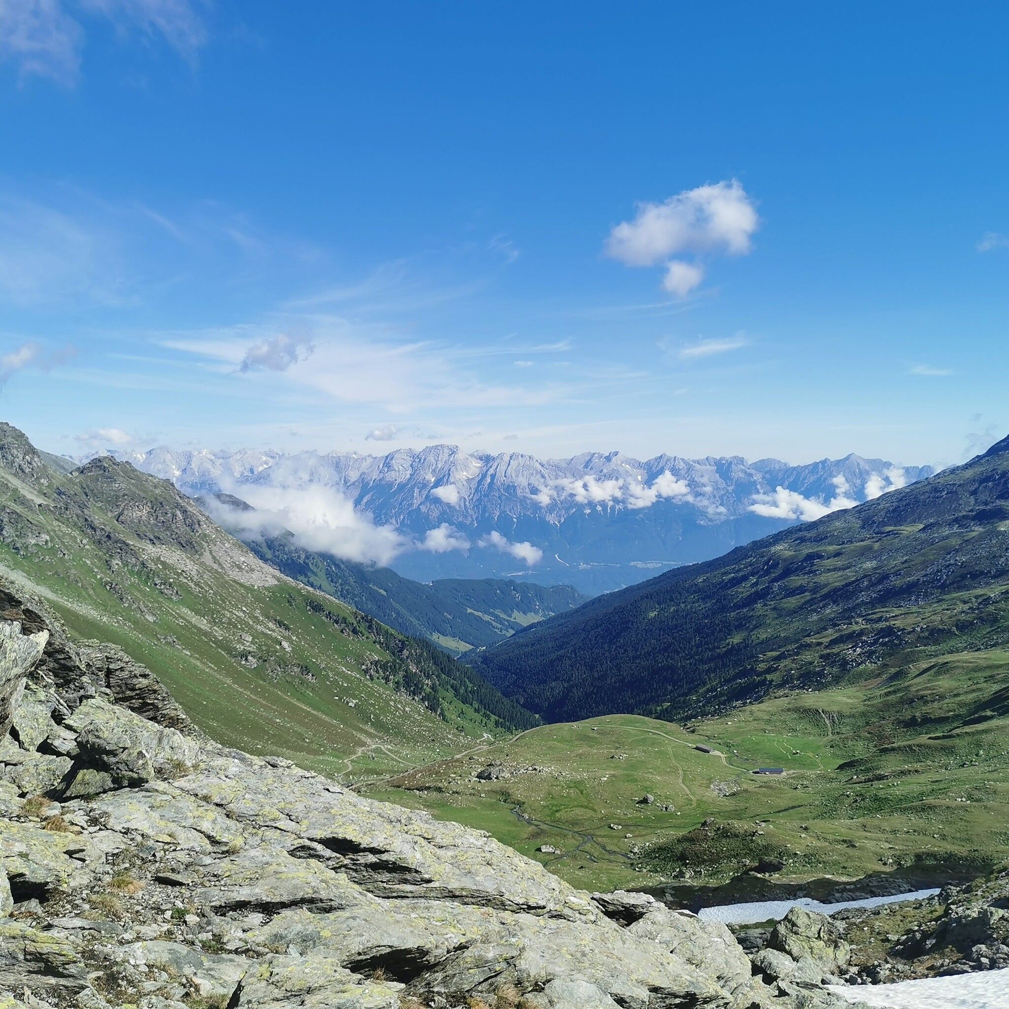
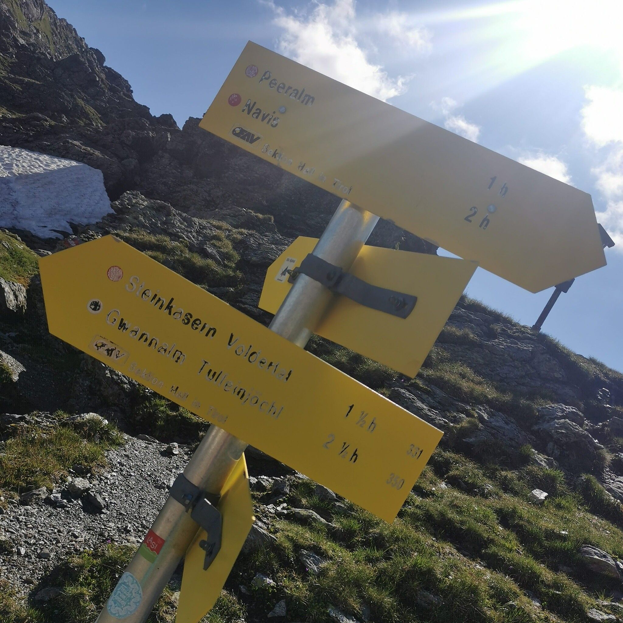
Beautiful hike to the end of the Voldertal valley via Vorbergalm, Steinkasern, Melkböden. Up to here forest road, then marked trail to the Naviser Jöchl (2479m).

Getting here

  • Arrival by public transport

    Bus 450 Tulfes

  • Parking

    Tulfes - Glungezerbahn

More tours in the surrounding area

Newsletter

The mountain is calling? So does our newsletter!

In our monthly newsletter we reveal the best holiday tips for Tyrol.