
Opening hours:Open today
Place:Gnadenwald
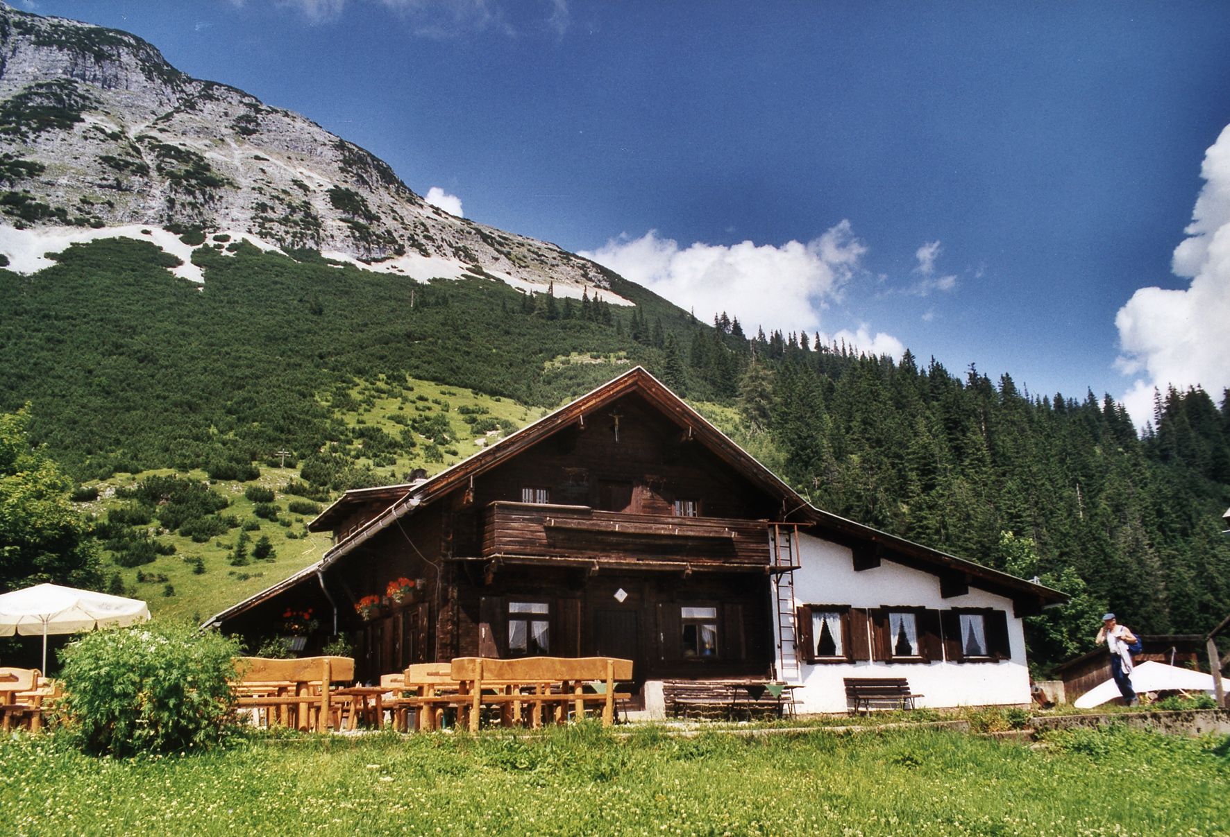
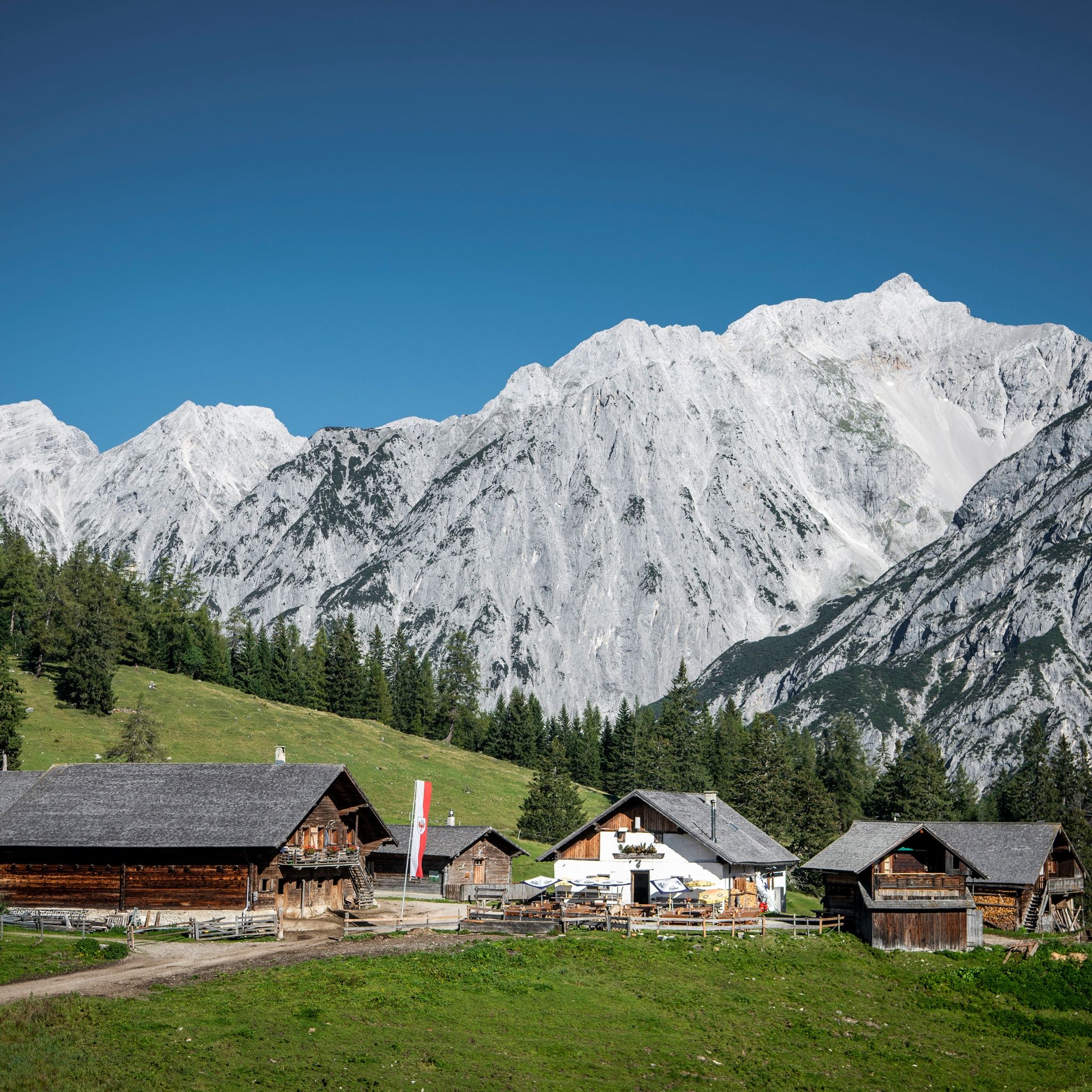
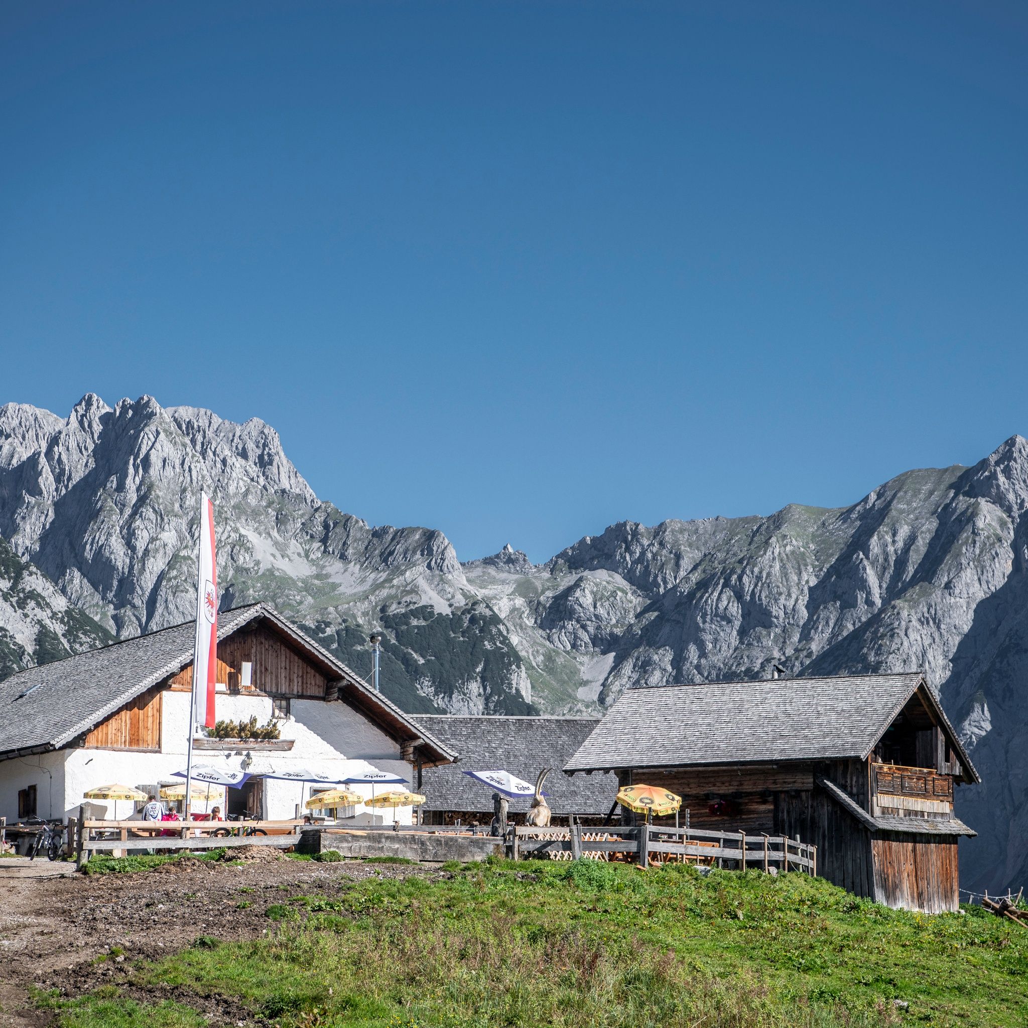
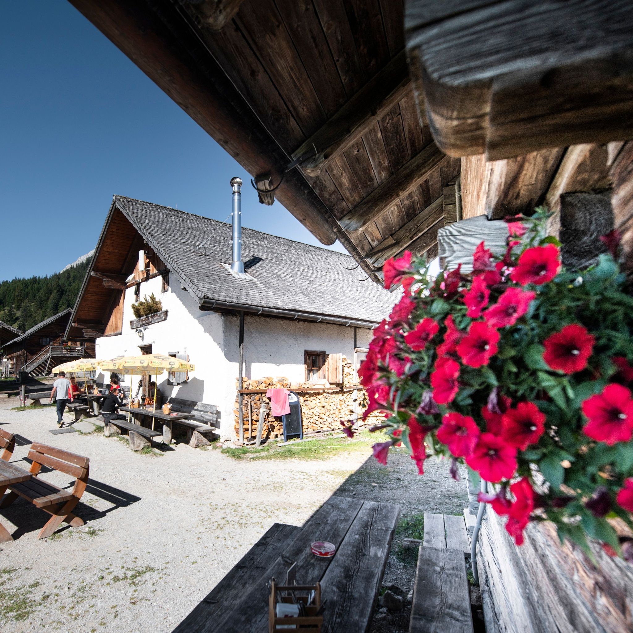
:Restaurant, Alpine pasture / hut / mountain restaurant
Wonderful view of the Karwendel Mountains
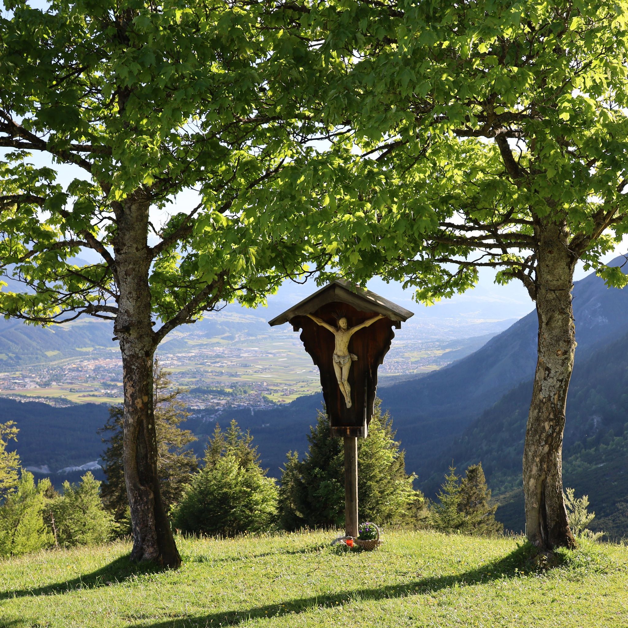
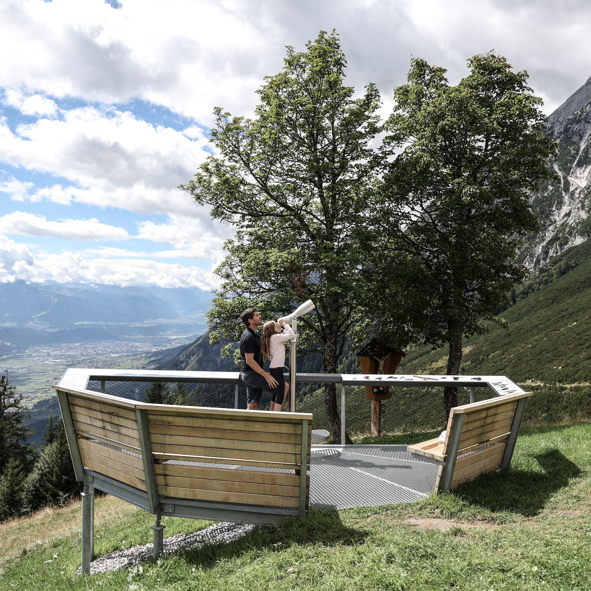
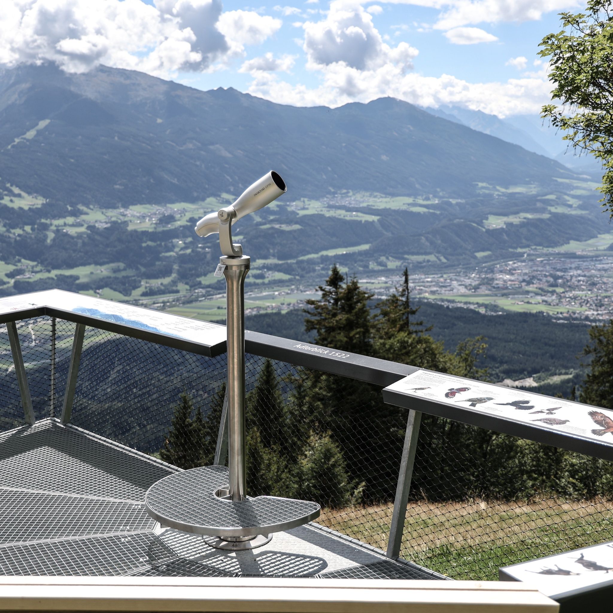
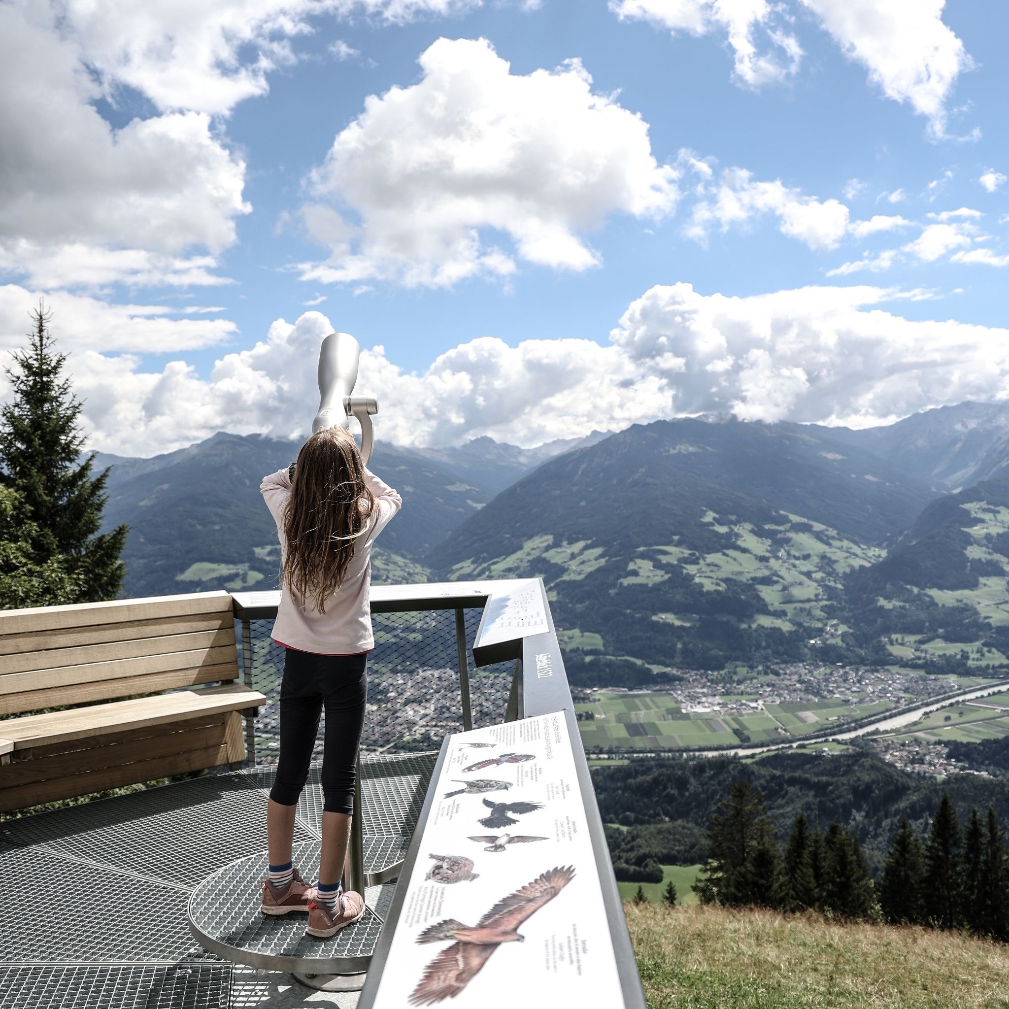
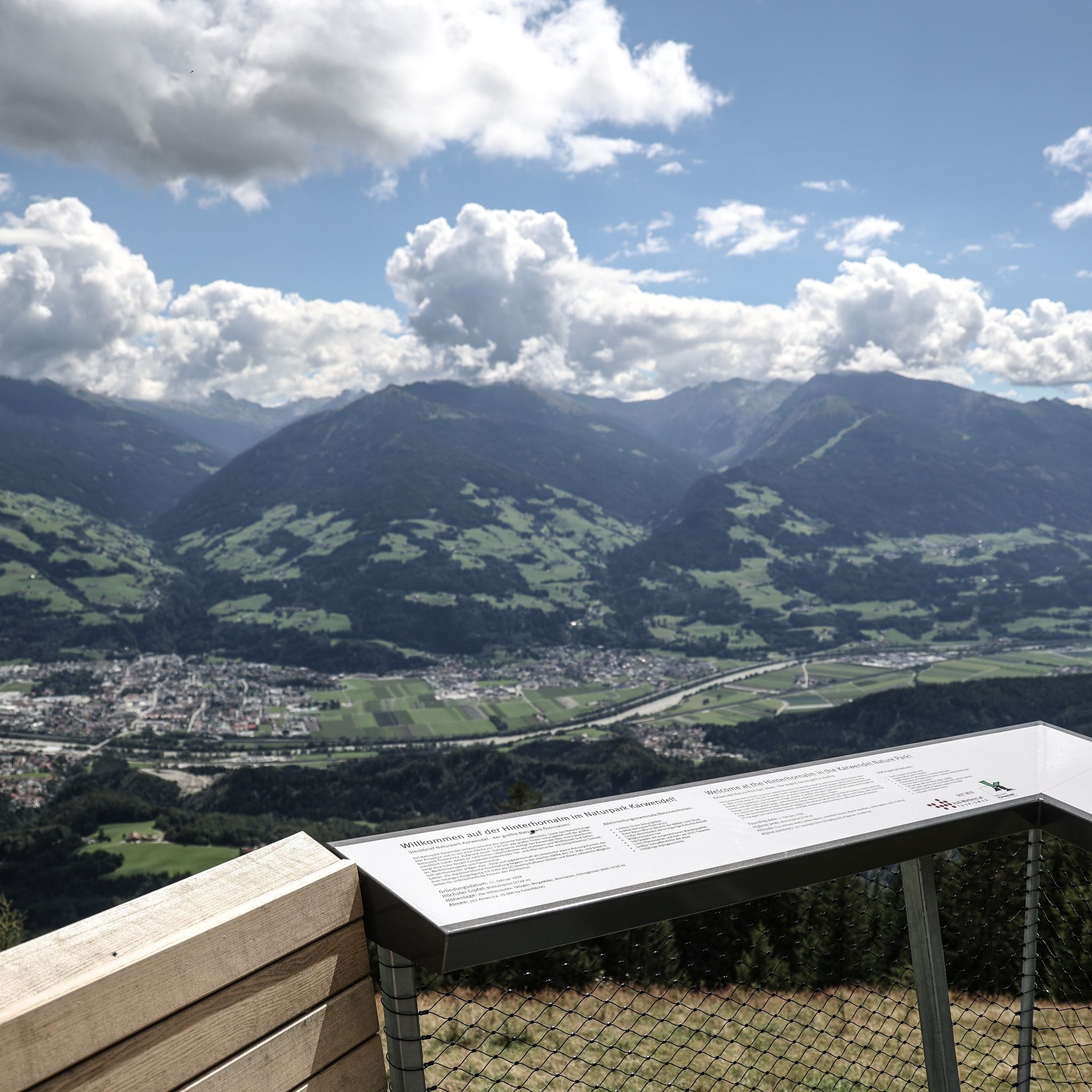

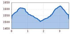
Beautiful panorama route with views of the Inn Valley and the Karwendel.
It is possible to reach Gnadenwald (St. Martin station) with the Regiobus 3 from Hall in Tirol and Innsbruck.
Ample parking is available directly at the starting point.


 neu.jpg")


")


 (1).jpg")

.jpg")

")


