
Opening hours:Open today
Place:Pettneu am Arlberg
:Alpine pasture / hut / mountain restaurant
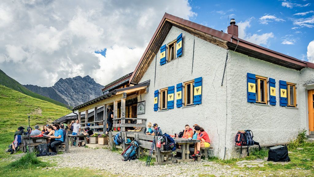
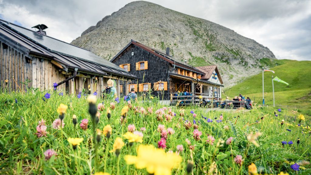
Pettneu - Kaiserjochhaus, 2306 m - Leutkircher Hütte, 2251 m
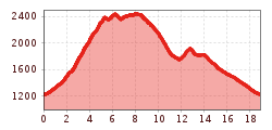
The hike starts from the Pettneu information office next to the church. Head east along the village road until the path branches off to the left at the Raiffeisenbank. Follow the signs upwards towards the edge of the village, where the trail continues into a forest and to the Gridlonbach stream. The farm track continues upwards in serpentines, past the catch basin to the Pleißlereck. Now follow the signs in the direction of Kaiserjochhaus and later to Leutkircher Hütte. The descent is via the Nessleralm back to Pettneu.


 Mirja Geh (26).jpg")


.jpg")
.jpg")


")


")


.jpg")
