
Opening hours:Open today
Place:Pettneu am Arlberg
:Alpine pasture / hut / mountain restaurant
Pettneu - Leutkircher Hut - Kaiserjochhaus - Pettneu
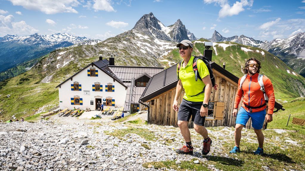
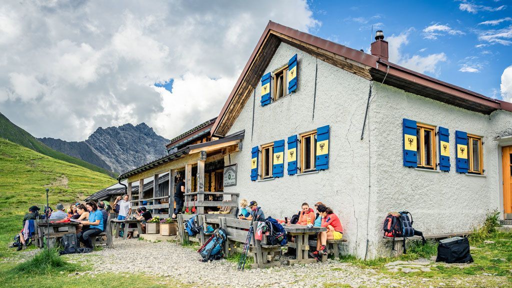
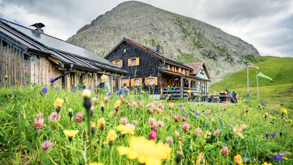
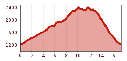
From the information office eastwards, uphill to the left before the Raifaisenbank, then follow the signs towards Nessleralm. From there, follow the trail towards Wolcharahöhe (AV 644) over the Jochmähder to the Leutkircherhütte. Follow the slopes of the Stanskogel and Hirschpleiskopf westwards to the Kaiserjochhaus. Via narrow, but well-marked meadow paths, the trail leads in steep serpentines and via the Stöcklweg back to Pettneu.
Alternative: Take the right path to the Nessleralm and then back to Pettneu.


 Mirja Geh (26).jpg")


.jpg")
.jpg")


")


")


.jpg")
