
Opening hours:open
Difficulty:easy
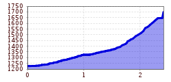
Length:573 mDuration:0:20 hElevation uphill:12 m
Pettneu - Untere und Obere Waldebene
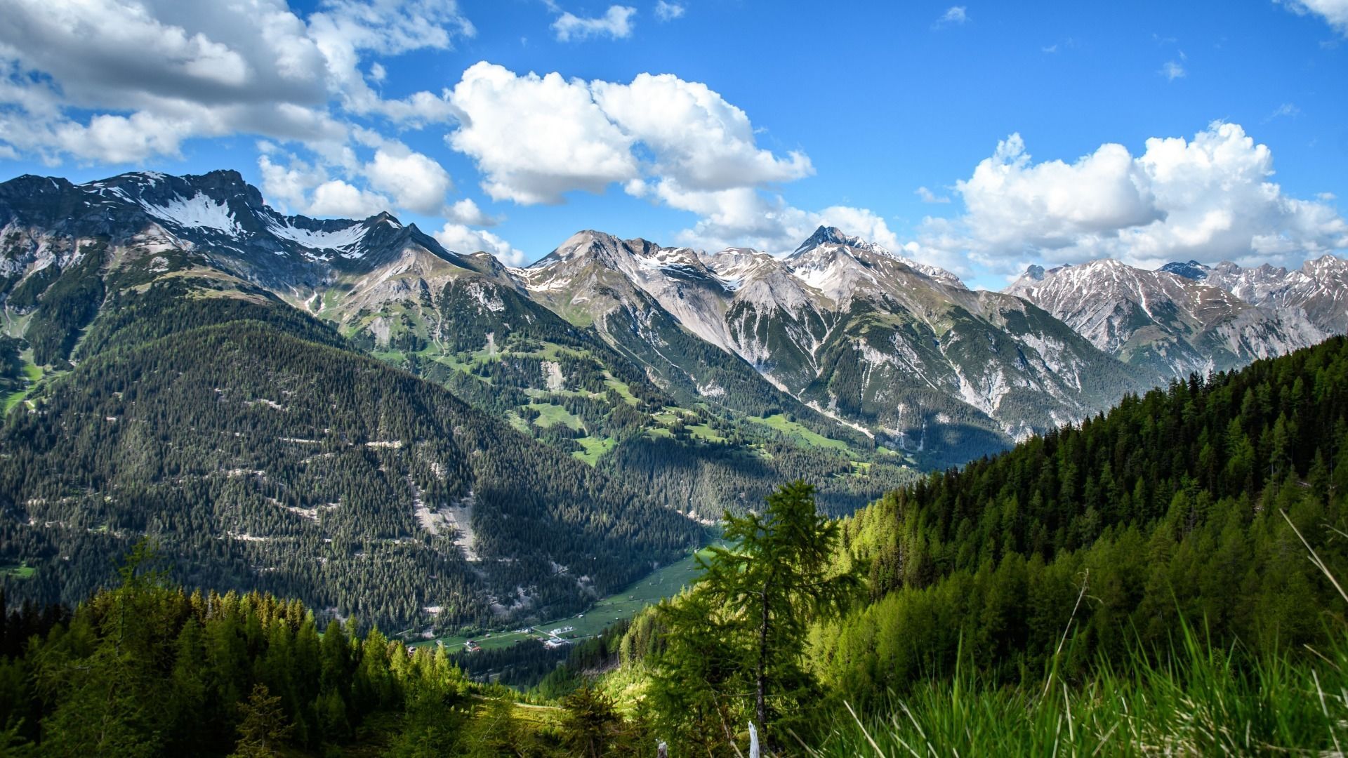
From the information office in Pettneu, head east until you reach the Raiffeisenbank, turn left here and follow the signs to Stöcklweg until you reach the turnoff to Untere Waldebene. Turn right here and continue to follow the markings until you reach Hexenloch. This is a pasture with a boulder. Now trail no. 17 leads from Hexenloch along the rugged rocky precipices of the Galdrin valley until you reach another wooded plateau. This is the Upper Forest Plain. Take the same path back to the starting point.


 Mirja Geh (26).jpg")


.jpg")
.jpg")


")


")


.jpg")
