
Place:Mutters
:Alpine pasture / hut / mountain restaurant:vegetarian
Raitiser Almweg (512)
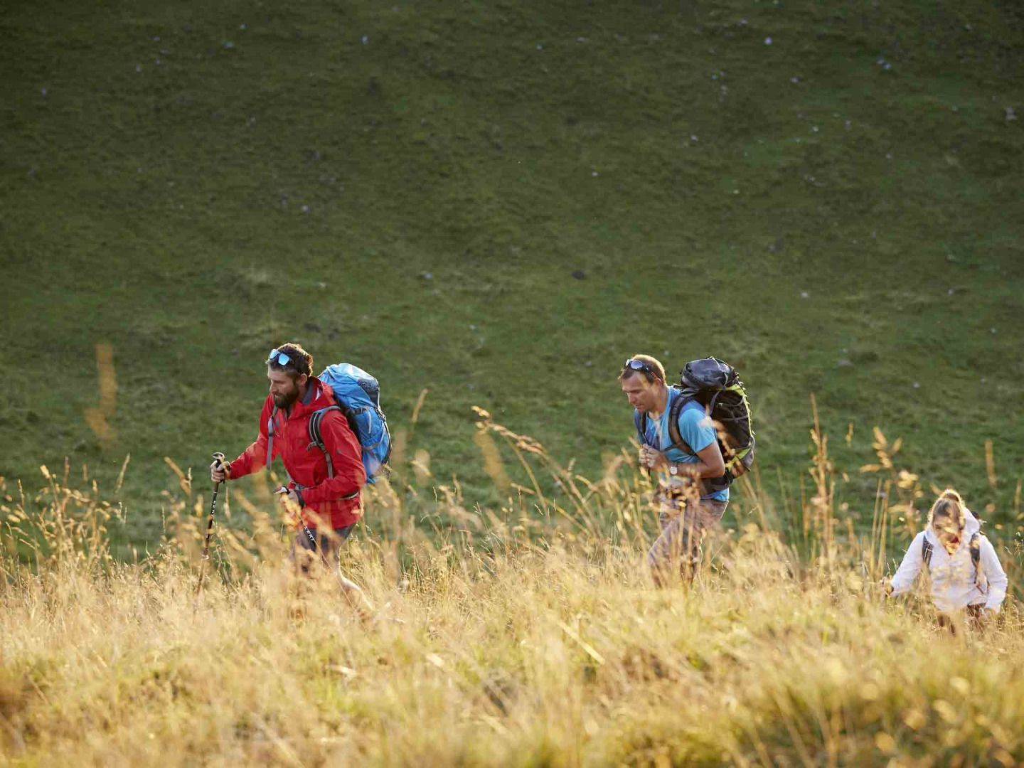
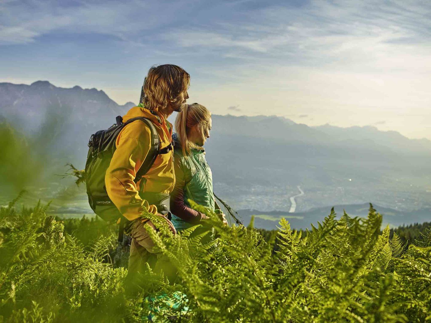
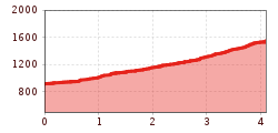
Before reaching the Gasthof Scheipenhof, the trail leaves the forest and continues across meadows, offering beautiful views of the Stubai Valley and the surrounding mountains. The final section of the trail goes through the forest again, leading to the Raitiser Alm. From there, good connections lead to the Kreither Alm and the Mutterer Alm, which can be reached via an easy panorama path offering stunning views of the valley and mountains.
To get back to the starting point, hike back along the same route.
Please note: The Raitiser Alm is not serviced, so it's recommended to bring enough provisions.
Take the Stubaitalbahn STB to the Raitis stop.


.jpg")


.jpg")
_WaLogo.jpg")


