
Opening hours:Open today
Place:Schlaiten
:Restaurant
Schlaitner Panorama und Erlebnisweg
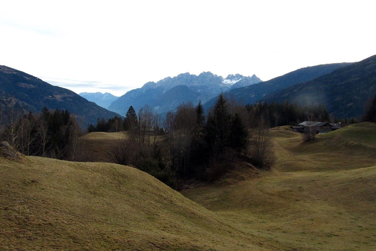
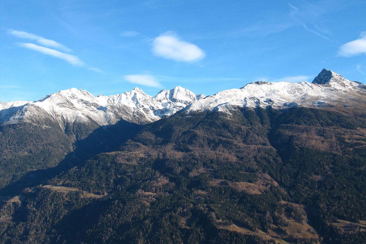
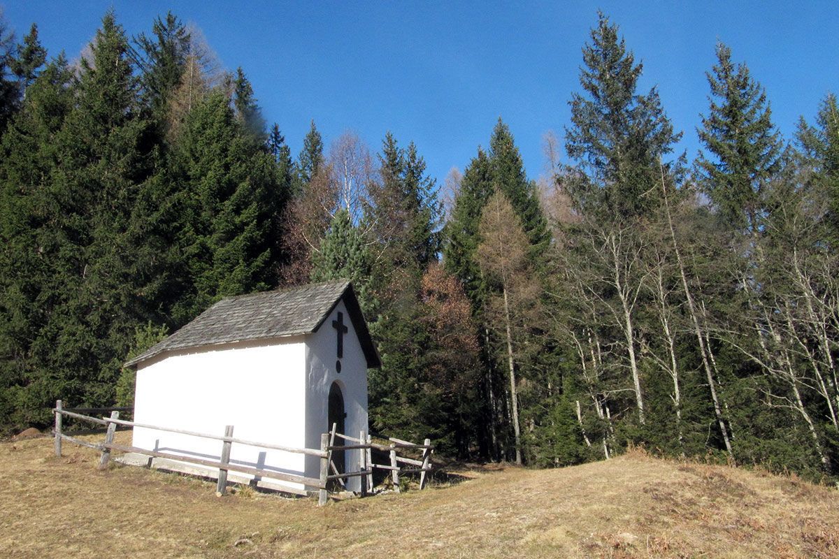
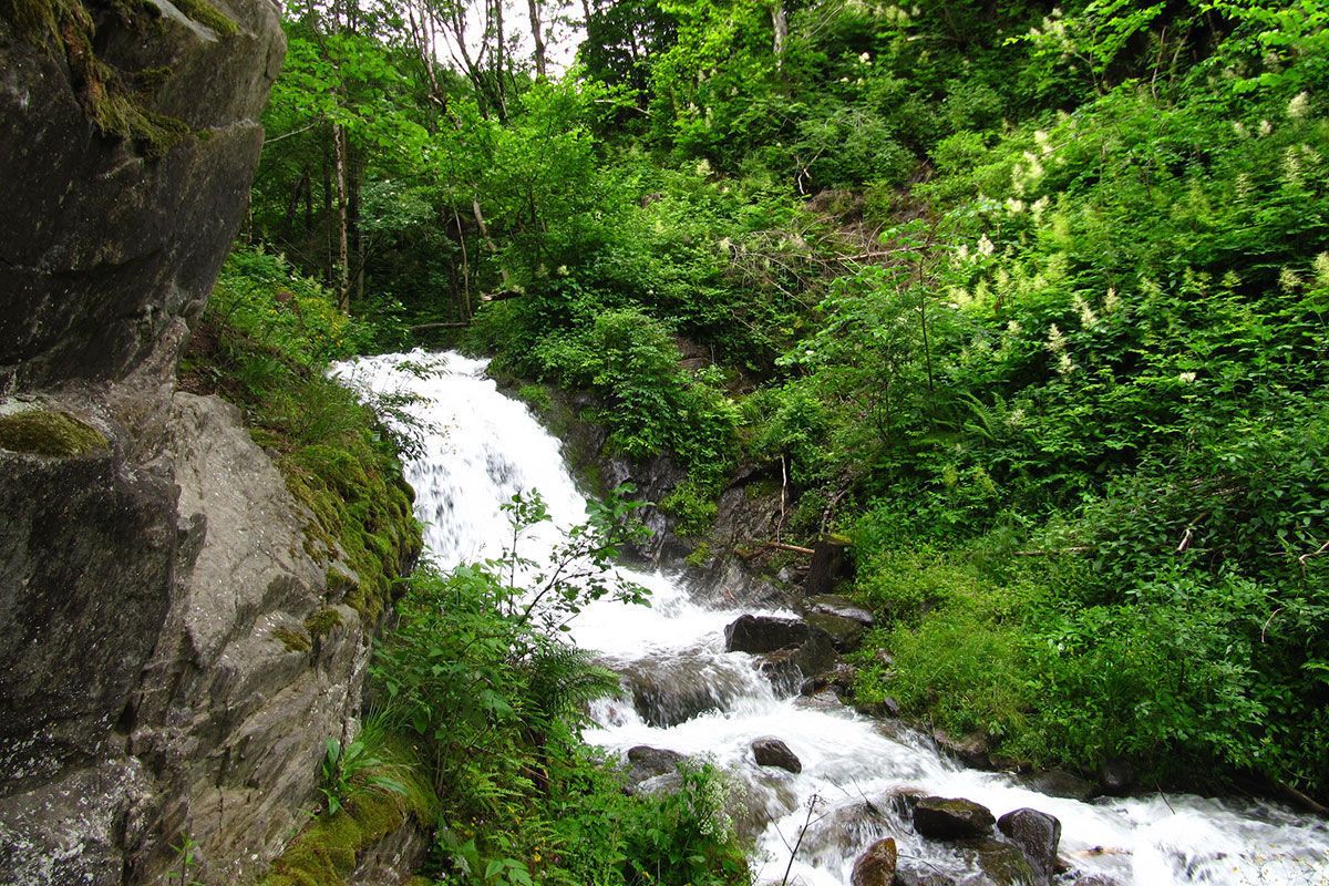
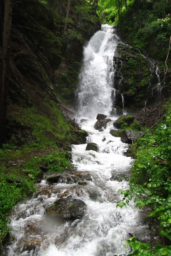
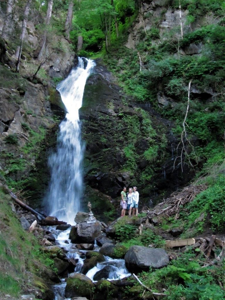
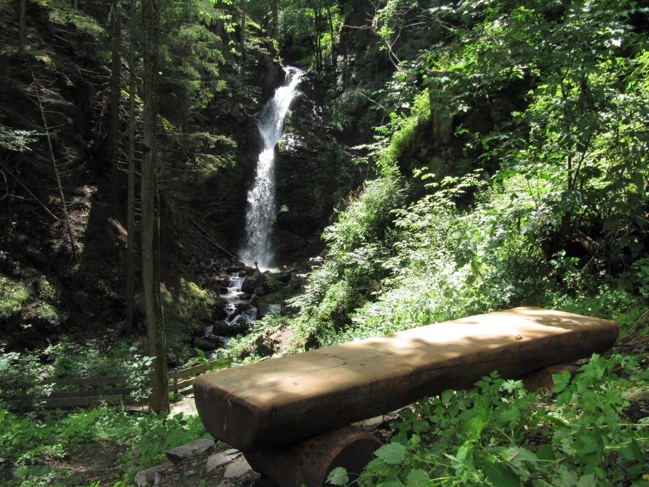
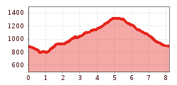
Start from the beautiful village square Schlaiten and follow the sign on the slightly descending path to the impressive Daberer waterfall. Then along meadows and forest paths via Törl-Martel and left up to Gantschach. Further on along the old Göriacher Weg (path) with a fantastic view to the Iseltal-valley in East Tyrol to Göriach. From there via house „Gridling“ (an old mining-house from the 16th century) and „Pension Schoberblick“ to the chapel „Zum guten Hirten“. This place with its magnificent view invites to spend some time! The way back – slightly descending – leads first through the forest and along old farmhouses till the starting point „Schlaitner Wirt“.
Mit dem Bus bis zur Bushaltestelle "Schlaiten Mesnerdorf".
Parkplatz Dorfzentrum Schlaiten


