
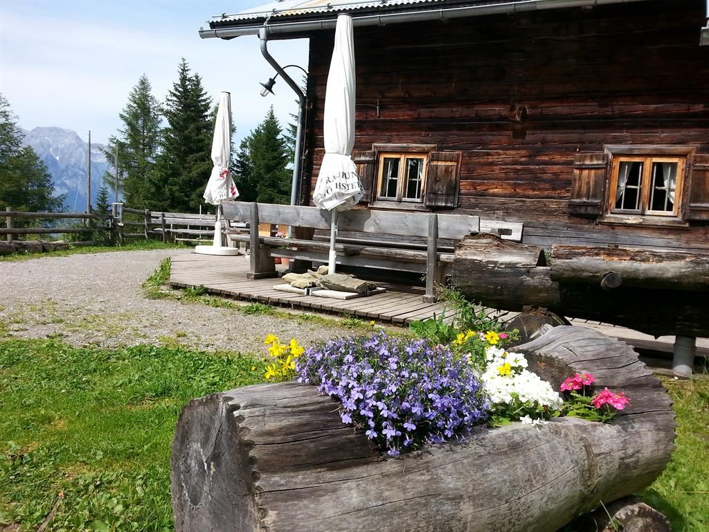
Place:
Rinn
:
Alpine pasture / hut / mountain restaurant
The Jöcheles-Bründl-Steig trail
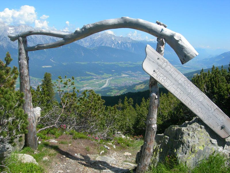
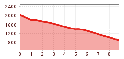
The start of this varied mountain trail is located about a quarter of the way up the famous Zirbenweg - starting from the Glungezerbahn mountain station. You first take the Glungezer cable car to the top and then hike a short distance along the Zirbenweg to the junction of the hiking trail. Alternatively, you can also start the Zirbenweg from the Patscherkofel. However, this variant is significantly longer and there is no direct bus connection from Rinn to the Patscherkofelbahn valley station.
The route leads below the Rote Wand to the idyllically situated Bärenbader Lacke, continuing via the Kriegerkapelle and the Vogelforcher Bödele to the Rinner Alm. From there, the route descends to the church square in Rinn, where there is a bus stop. The best way to get back to the Glungezerbahn valley station is by bus.
The route runs partly on marked hiking trails, partly on narrow paths (climbs) and offers impressive insights into the landscape transition from protective forest to commercial forest.


.jpg")
.jpg")


_WaLogo.jpg")
