Mountain hikes Through the Viggartal to the Glungezer

Ellbögen / Tuxer Alpen
Difficulty ratings: difficult
Route length: 10.6 km
Duration: 5:00 h

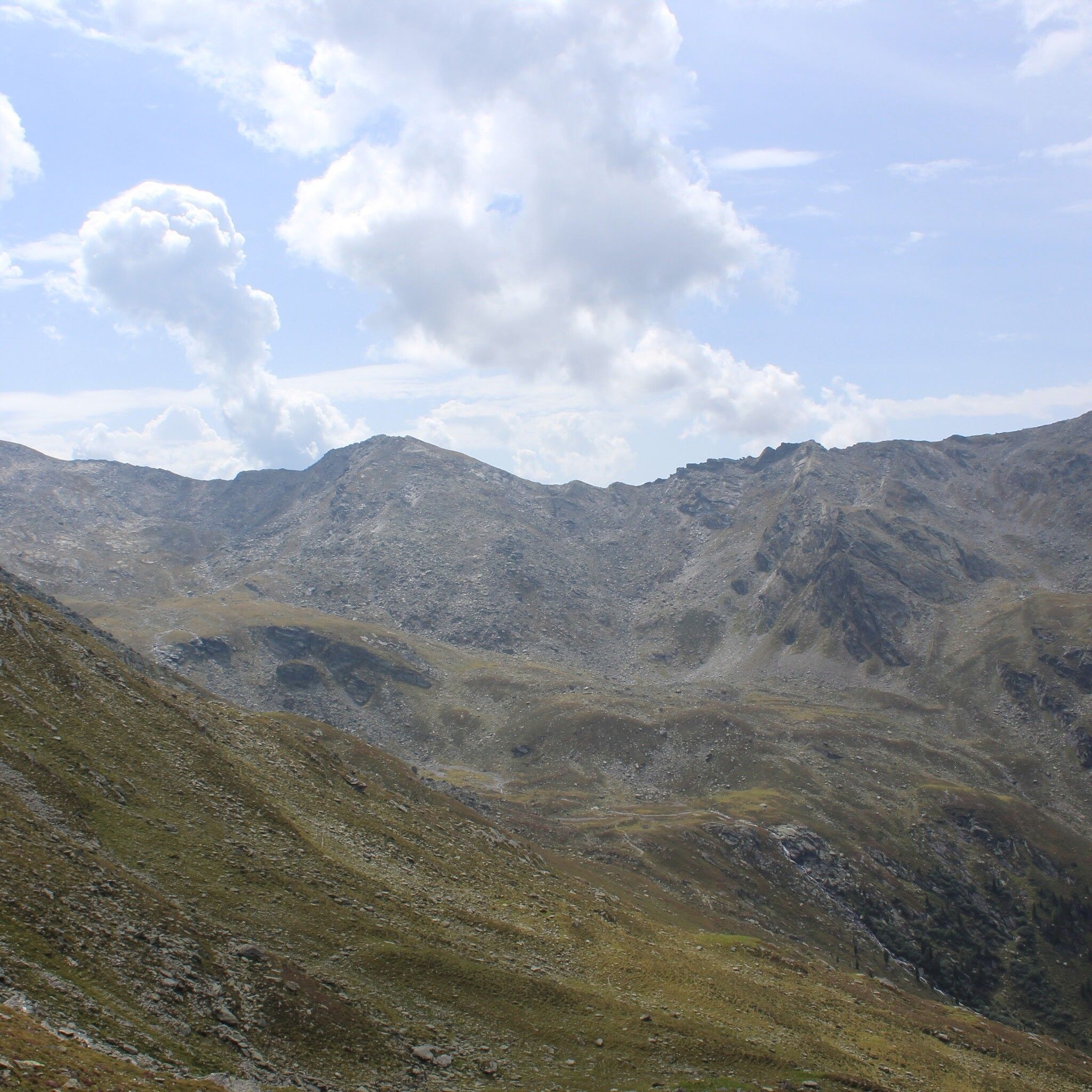
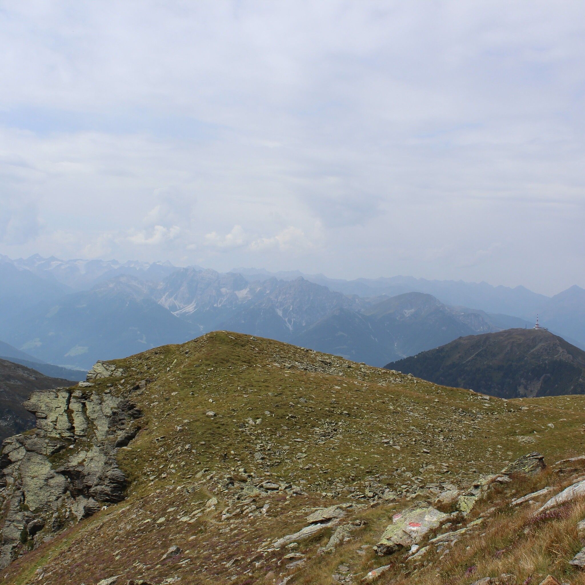
Up through the Mühltal to the Glungezer

Tour information

  • Requirement: difficult
  • Length: 10.6 km
  • Duration: 5:00 h
  • Elevation uphill:1,634 hm
  • Elevation downhill:18 hm
Highest point2,672 m

Starting point

Ellbögen

Finishing point

Tulfes
  • Fitness level 6 / 6

Best time of year

  • January
  • February
  • March
  • April
  • May
  • June
  • July
  • August
  • September
  • October
  • November
  • December
Source: Innsbruck region

Description

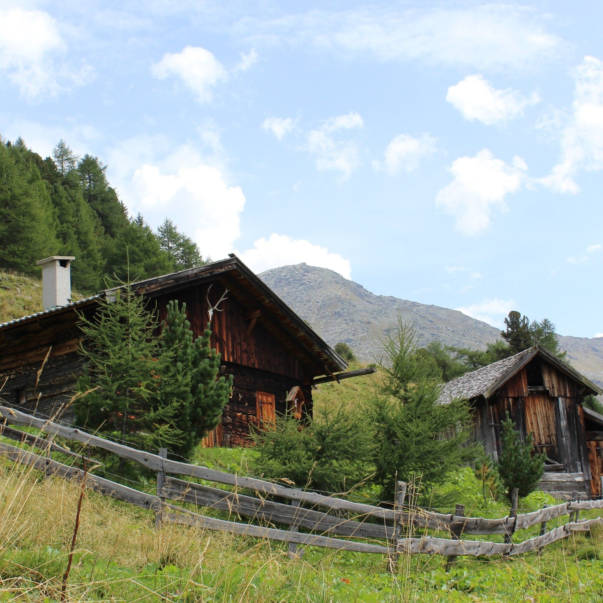
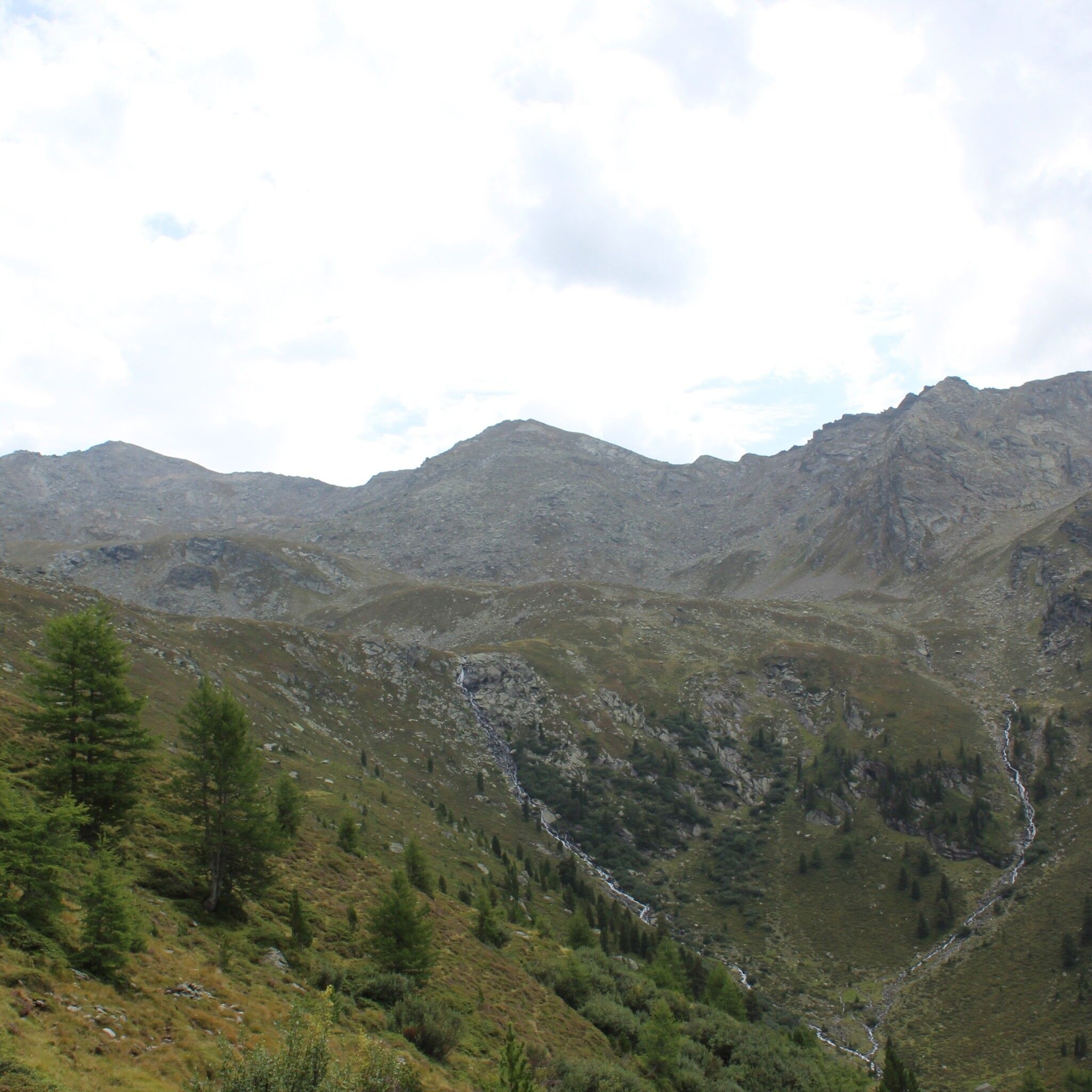
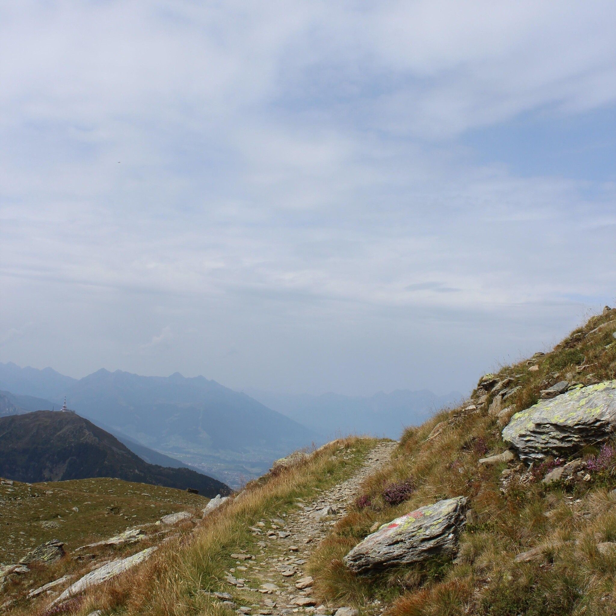
Through the shady Mühltal you hike, initially along the stream, up to the Glungezer.


Getting here

  • Arrival by public transport

    By bus 560 from Innsbruck to Ellbögen/Mühltal

  • Parking

    Possible at the starting point, but then you also have to choose the return route back here.

More tours in the surrounding area

Newsletter

The mountain is calling? So does our newsletter!

In our monthly newsletter we reveal the best holiday tips for Tyrol.