Mountain hikes To the Roßkopf

Wildschönau / Kitzbühel Alps
Difficulty ratings: medium
Route length: 7.2 km
Duration: 4:00 h

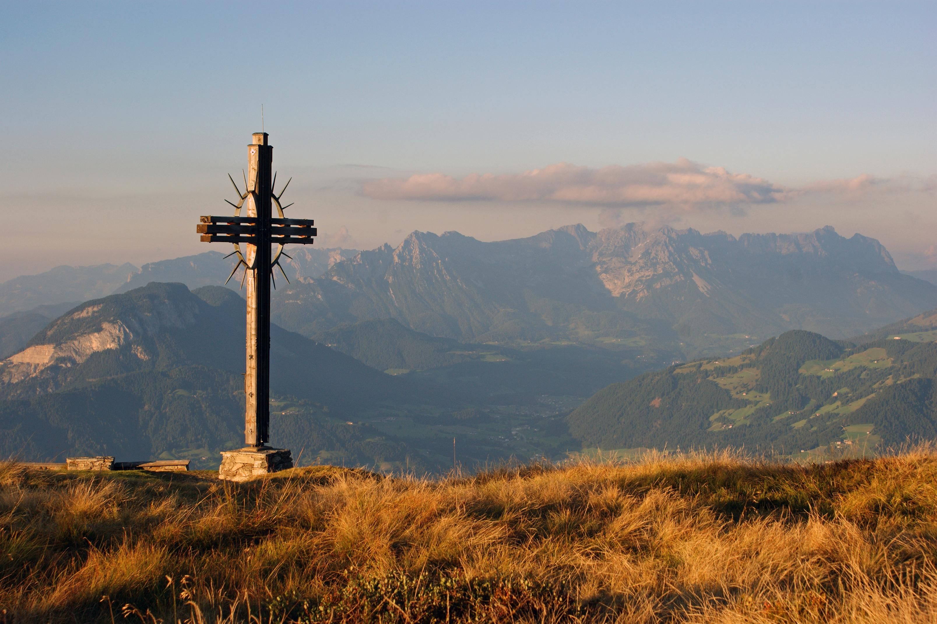
A magnificent 360-degree panoramic hike

Tour information

  • Requirement: medium
  • Length: 7.2 km
  • Duration: 4:00 h
  • Elevation uphill:327 hm
  • Elevation downhill:329 hm
Highest point1,731 m

Starting point

Gondelbahn Markbachjoch

Finishing point

Gondelbahn Markbachjoch
  • Fitness level 3 / 6
  • Technique 3 / 6

Features

  • Circular route
  • Suitable for families

Best time of year

  • January
  • February
  • March
  • April
  • May
  • June
  • July
  • August
  • September
  • October
  • November
  • December

Trail condition

Alpine Trail, Forest Path, Military Road

Equipment

The usual hiking gear. Good shoes, rain gear, sunglasses (even though part of the route goes through a pleasant forest). Snacks and drinks. There is no hut at Rosskopf itself.
Source: TVB Wildschönau

Description

The Markbachjochbahn cable car takes you comfortably up to the mountain station.
From here, the trail leads to the right past the Markbachjochalm, continuing relatively steeply over the Lanerköpfl to the legendary Halsgatterl.
The Halsgatterl is a wonderful resting spot with a picturesque chapel and a unique history. The trail continues westward toward the Roßkopf.
Once at the top, the relatively easy-to-reach Roßkopf surprises with its unobstructed 360° panoramic view—on clear days, you can let your gaze wander from the Karwendel, Rofan, and the Bavarian Wendelstein to the Kaisergebirge and the Leoganger Steinberge, all the way to the Großglockner and Großvenediger.
The return route takes you via the Horlerstiegl to the Holzalm (Kasalm) and back to the Markbachjochbahn.

Translated with DeepL.com (free version)

Nearby huts and mountain restaurants

Getting here

  • Arrival by public transport

    VVT line 770

  • Parking

    Markbachjochbahn
    Markbachjochbahn

Weather

Today

mainly clear
9°C/1°C
85%2.2l5 km/h

Sun

snow showers
4°C/-1°C
85%2.7l10 km/h

Mon

cloudy
5°C/-2°C
20%0l10 km/h
Go to weather forecast

More tours in the surrounding area

  • Möslalm circular route

    Difficulty:easy
    Length:9.8 kmDuration:3:00 hElevation uphill:289 m
  • The Wildschönau High Trail

    Difficulty:medium
    Length:14.8 kmDuration:6:30 hElevation uphill:760 m
  • Oberau - Kragenjochkreuz

    Difficulty:medium
    Length:7.9 kmDuration:3:00 hElevation uphill:513 m
  • Schatzberg and Joel Spitze

    Difficulty:medium
    Length:7.3 kmDuration:3:00 hElevation uphill:400 m
Newsletter

The mountain is calling? So does our newsletter!

In our monthly newsletter we reveal the best holiday tips for Tyrol.