Mountain hikes To the scenic Hochmahdkopf

Absam / Karwendel
Difficulty ratings: medium
Route length: 8.1 km
Duration: 4:00 h

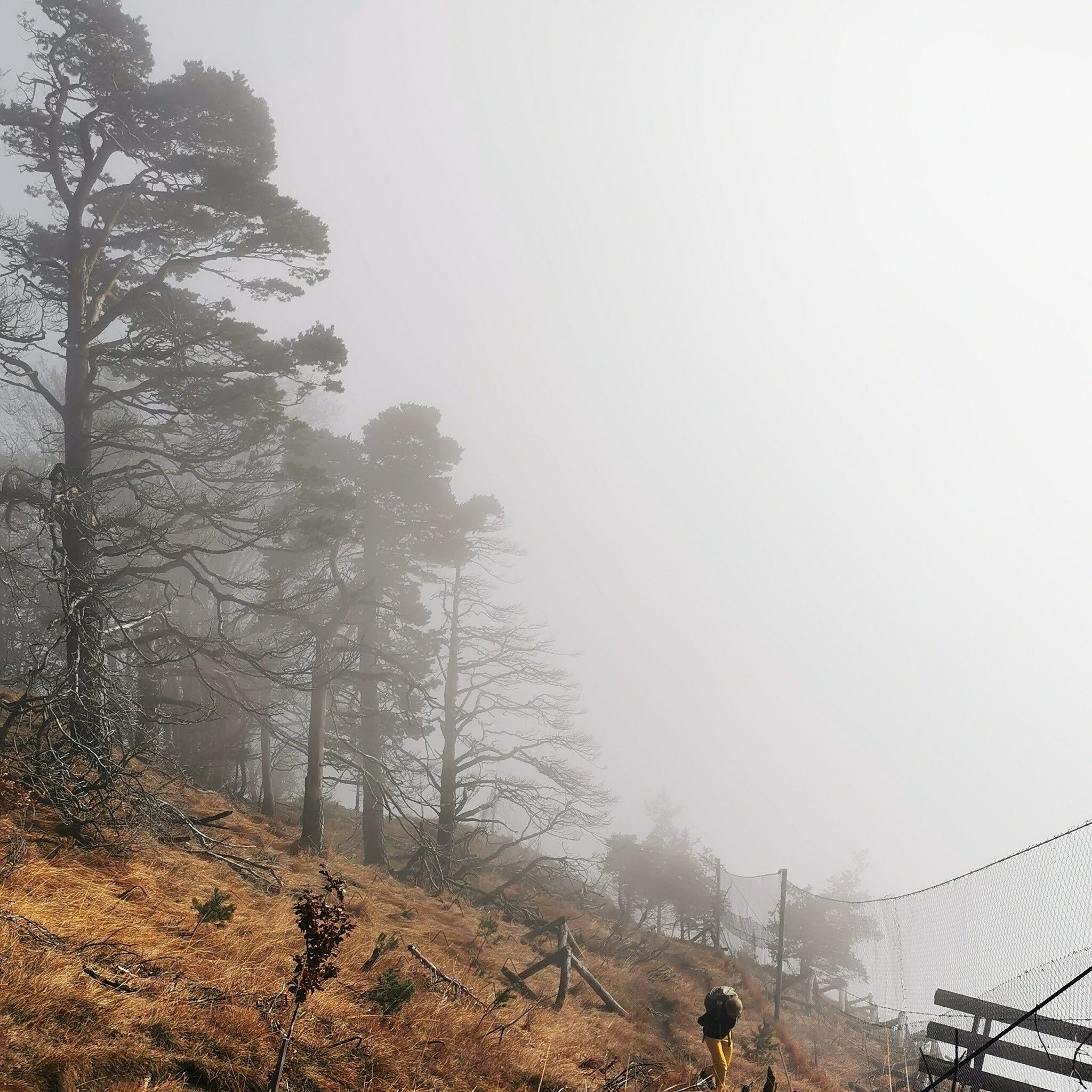
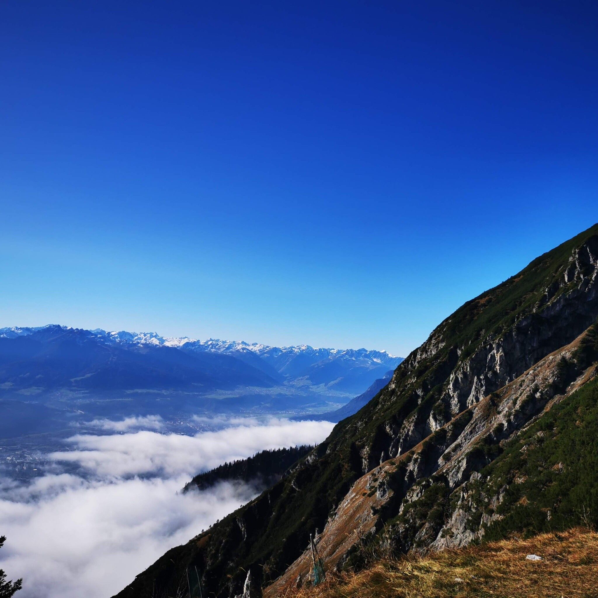
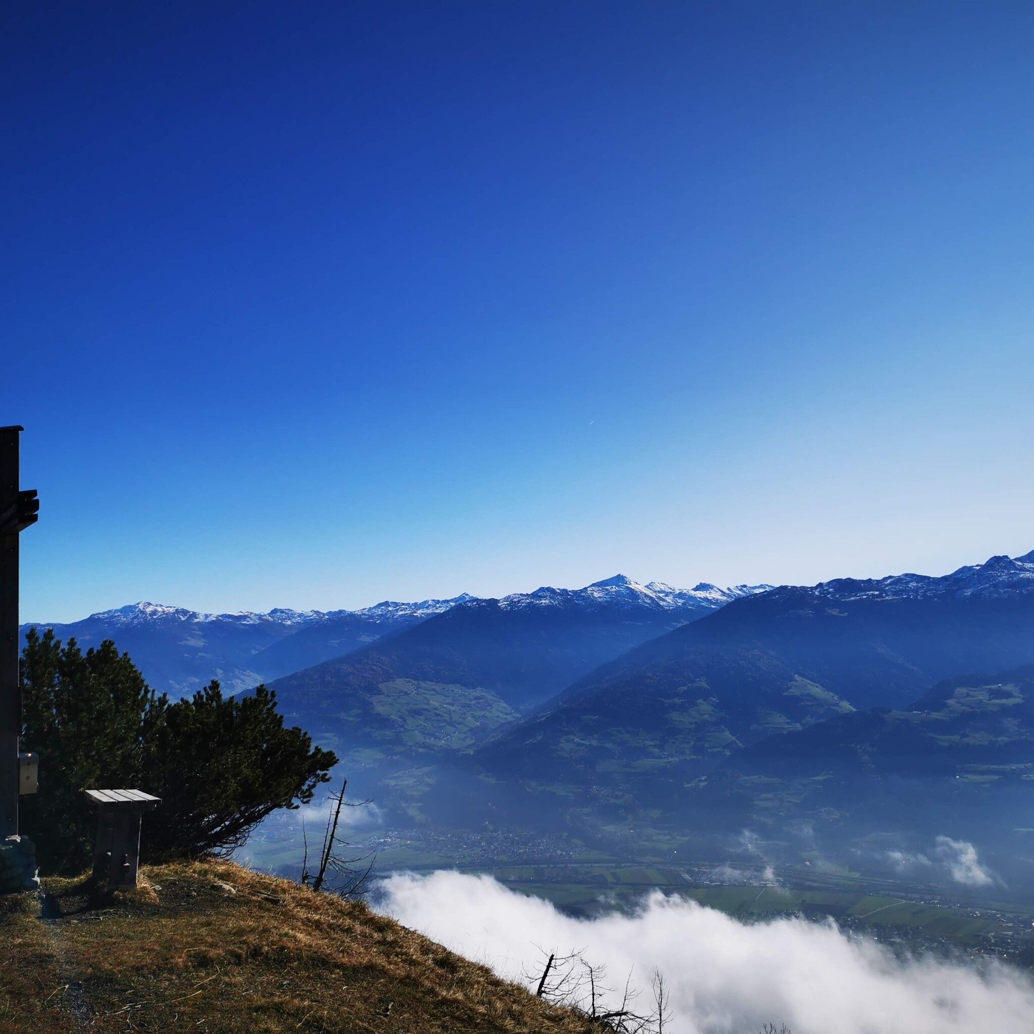
Crisp hike to the scenic Hochmahdkopf!

Tour information

  • Requirement: medium
  • Length: 8.1 km
  • Duration: 4:00 h
  • Elevation uphill:963 hm
  • Elevation downhill:958 hm
Highest point1,736 m

Starting point

Absam Halltal

Finishing point

Absam Halltal
  • Fitness level 3 / 6

Best time of year

  • January
  • February
  • March
  • April
  • May
  • June
  • July
  • August
  • September
  • October
  • November
  • December
Source: Hall Wattens

Description

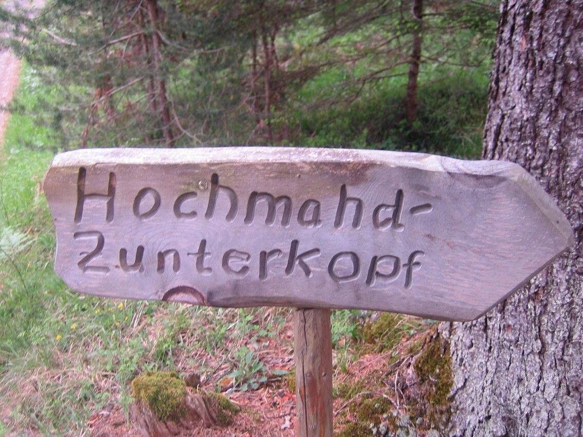
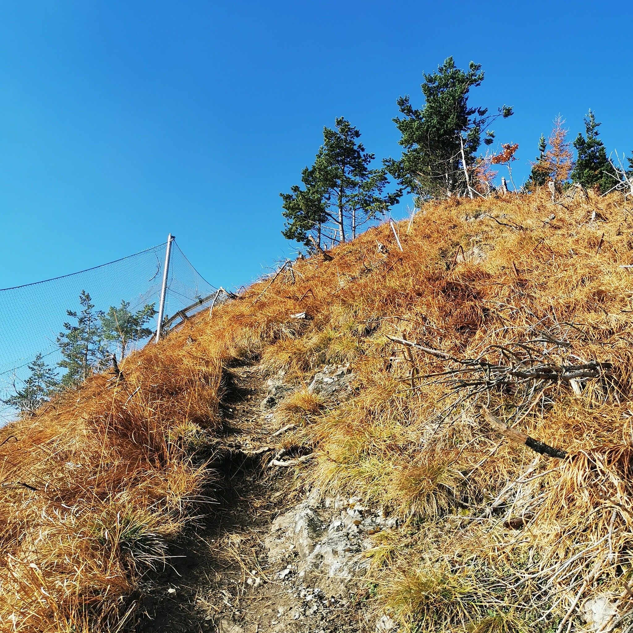
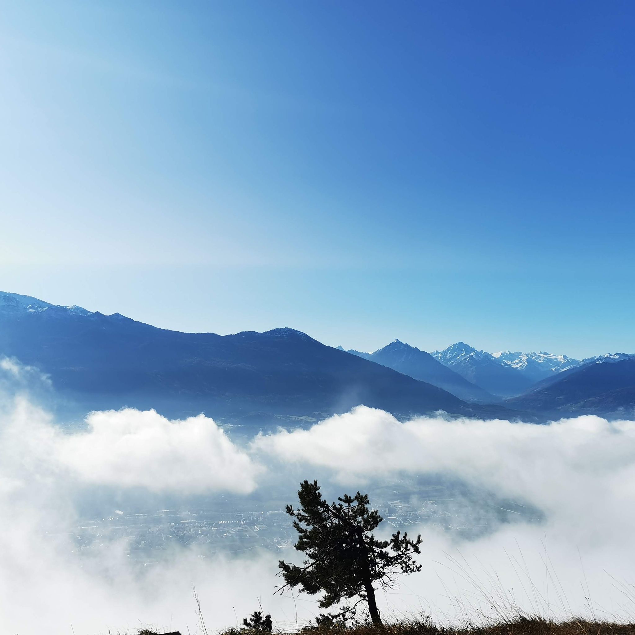
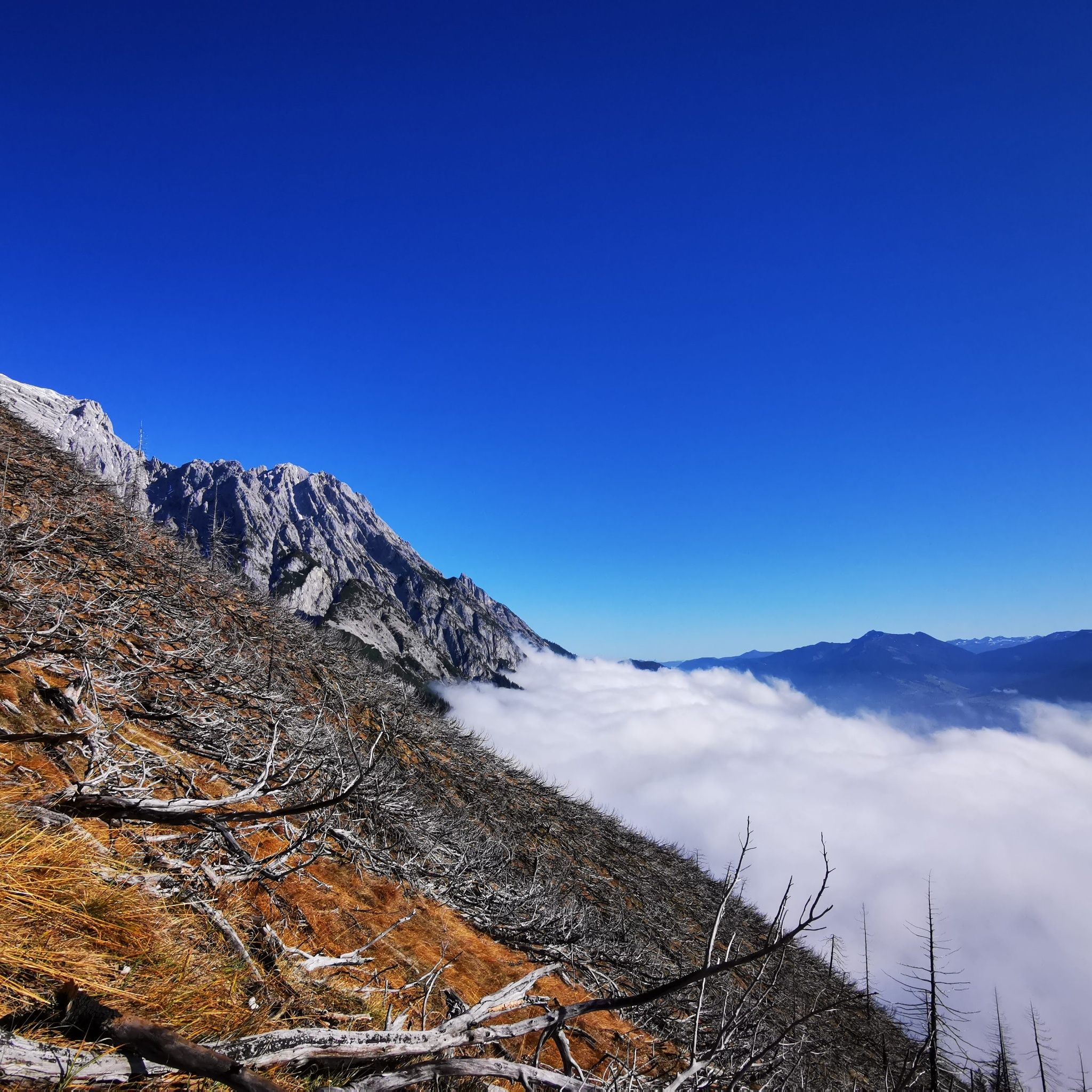
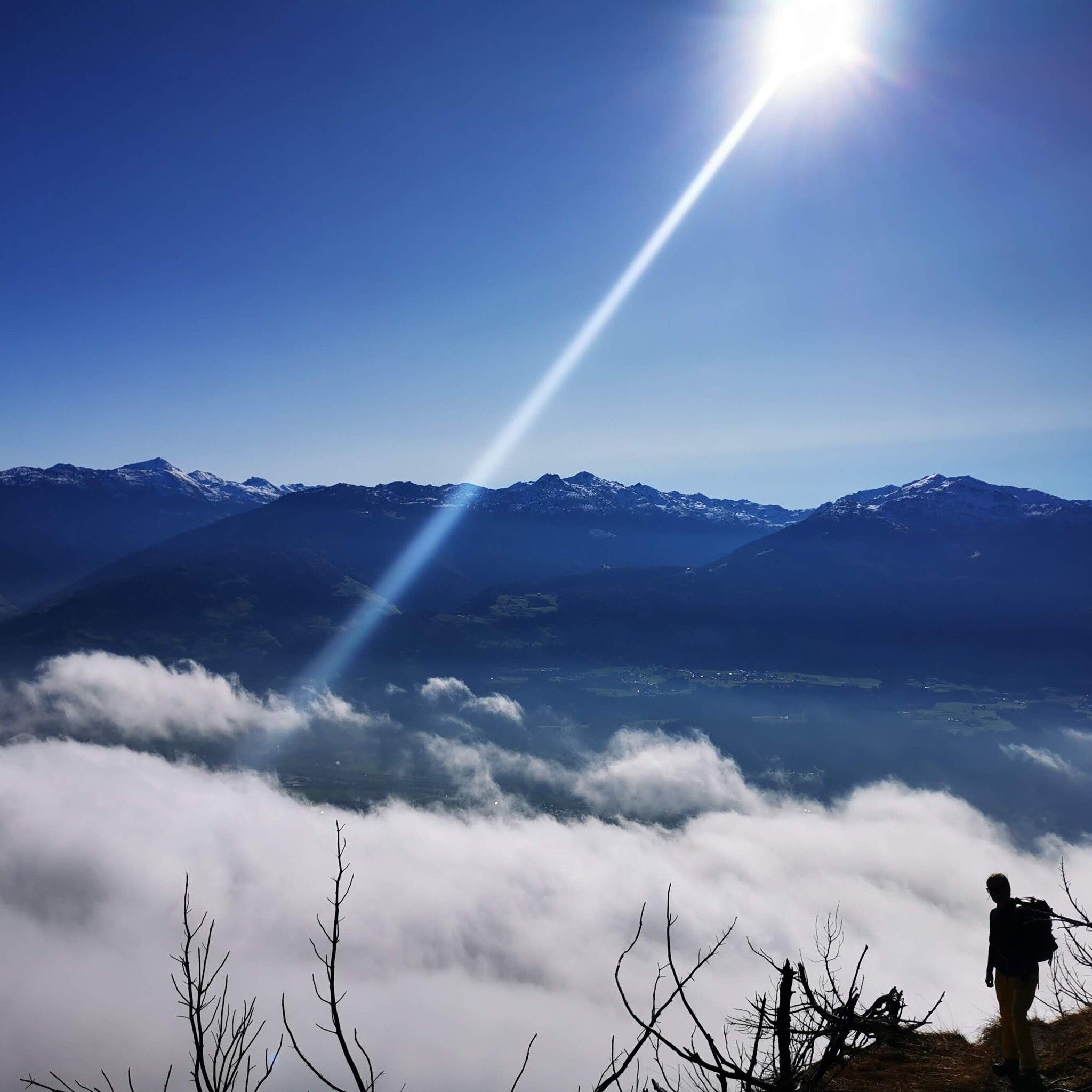
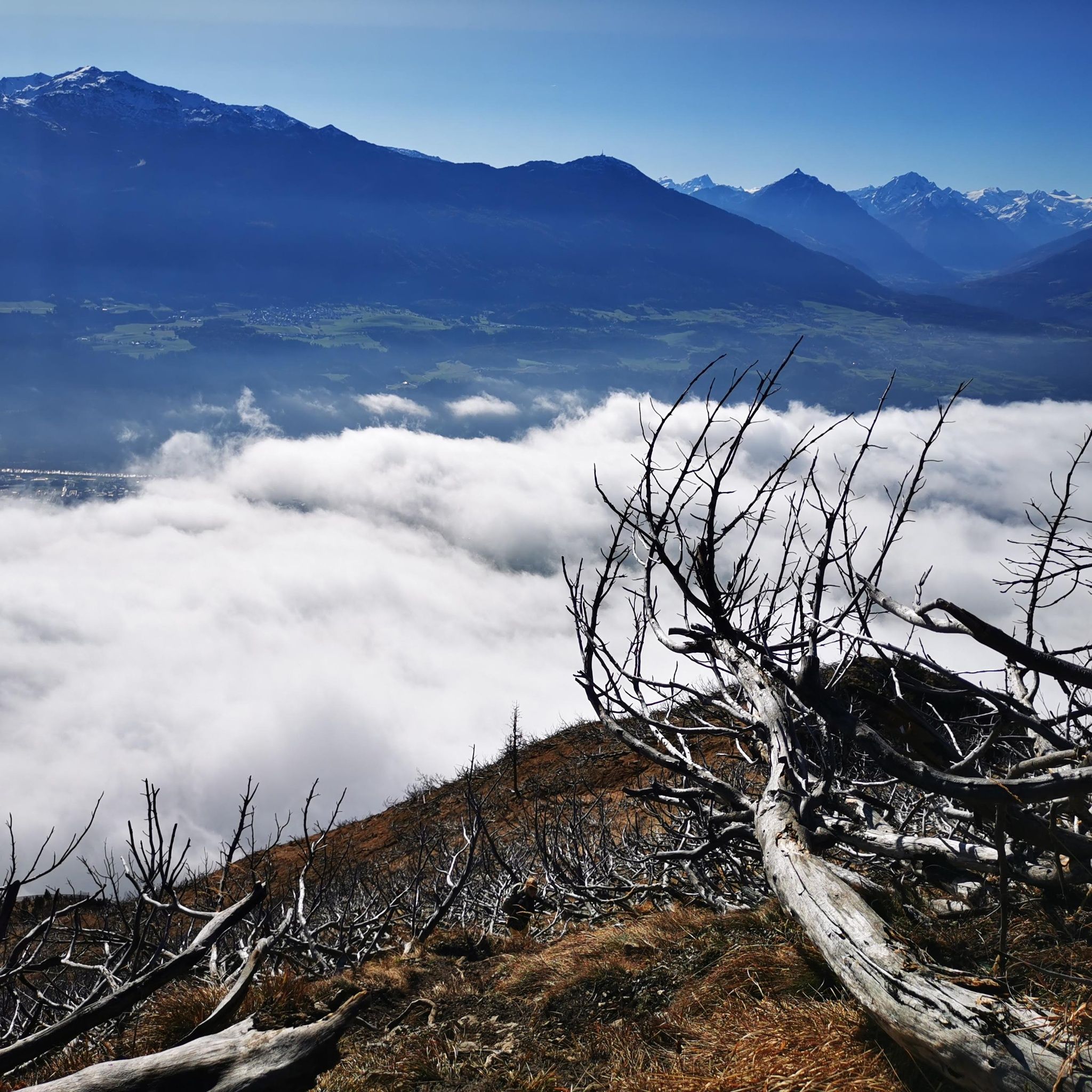
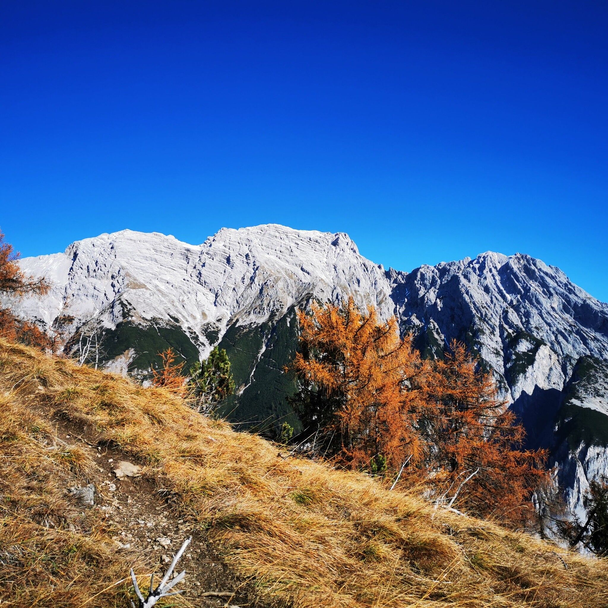
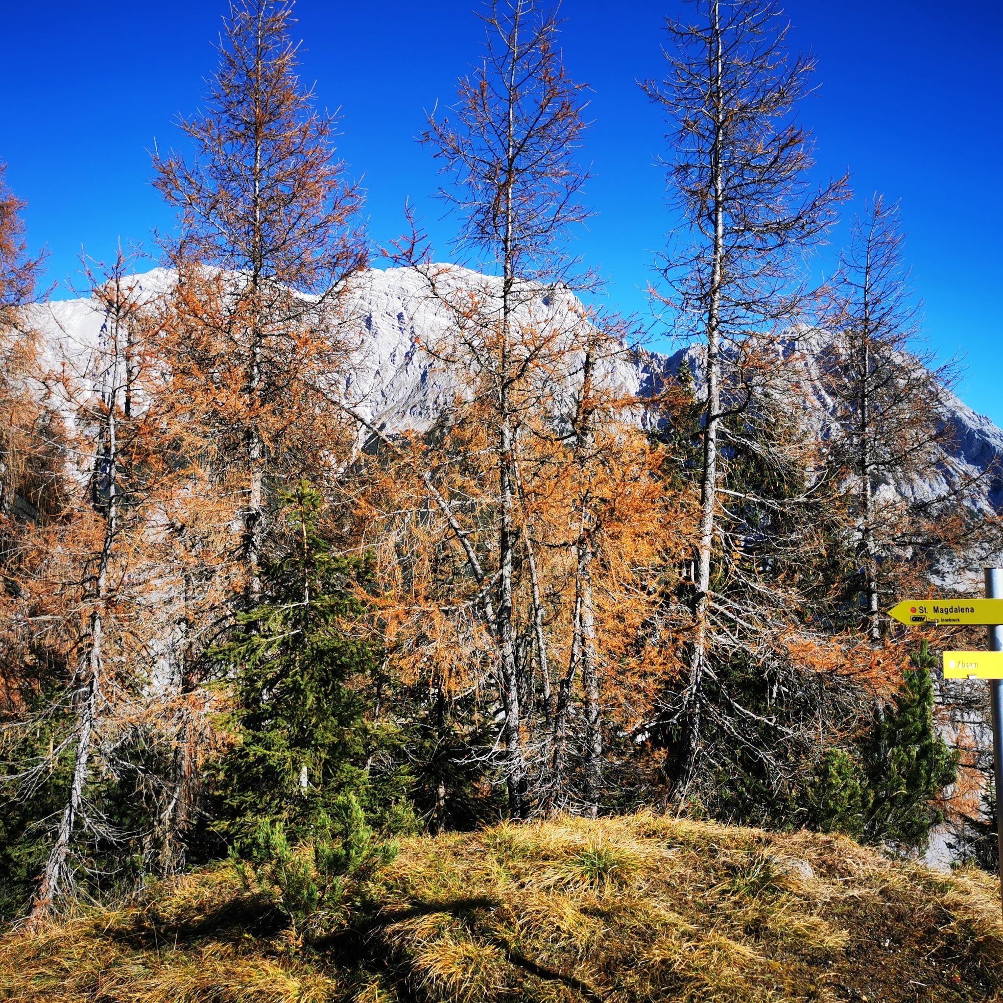
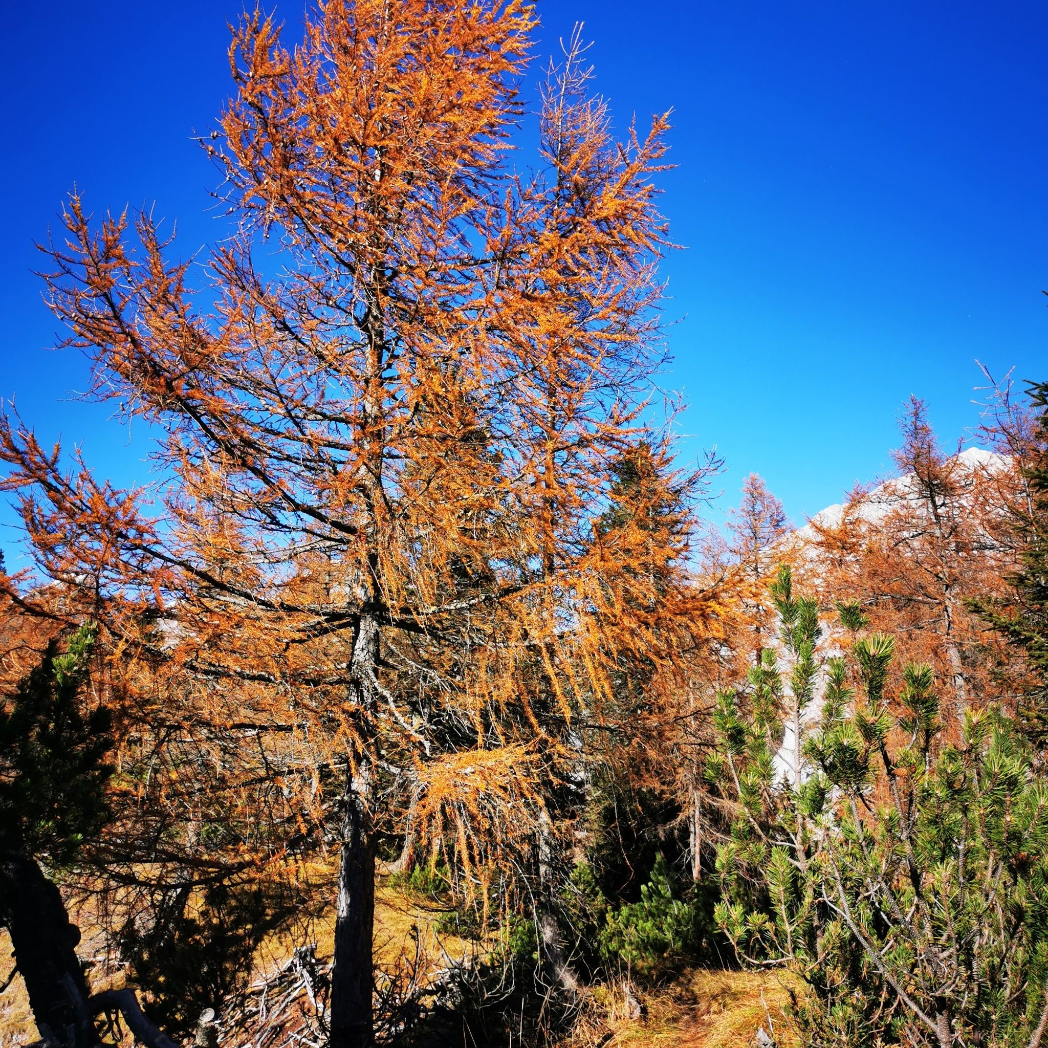
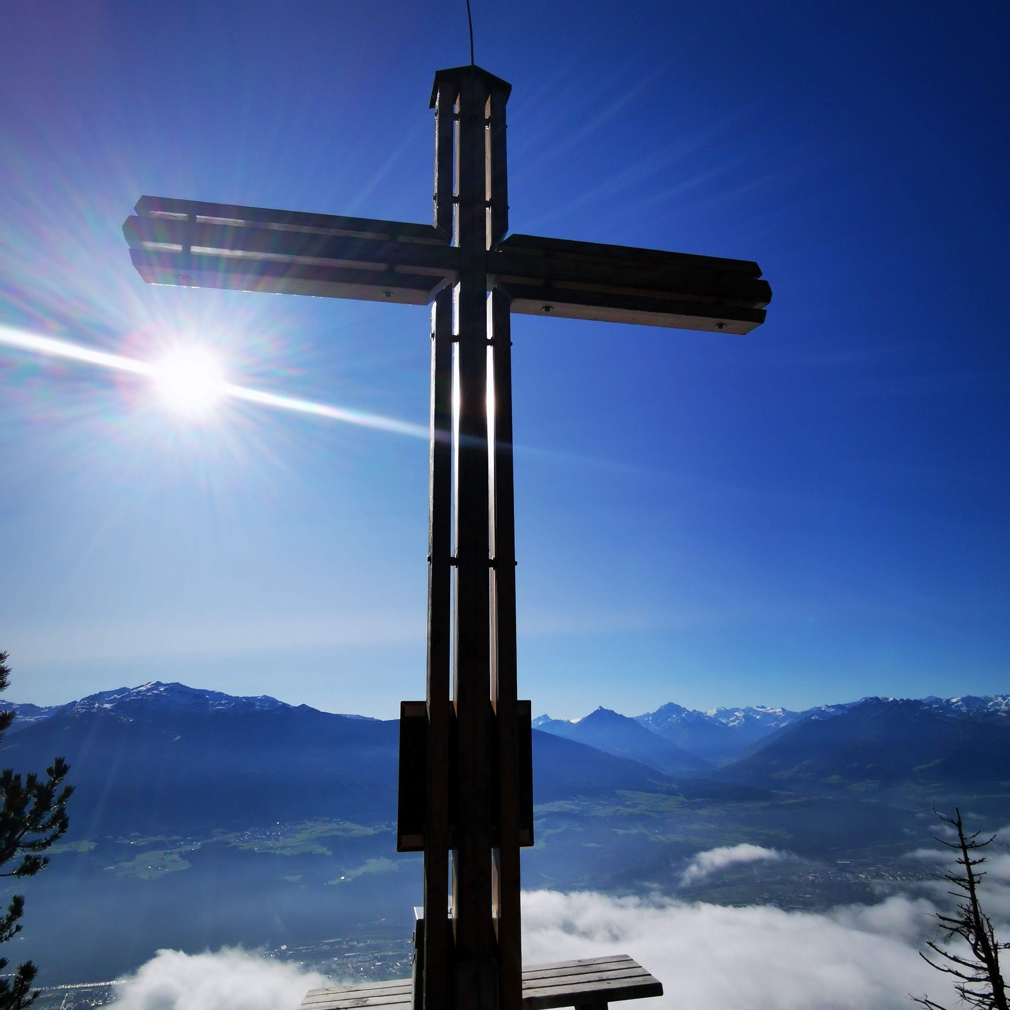
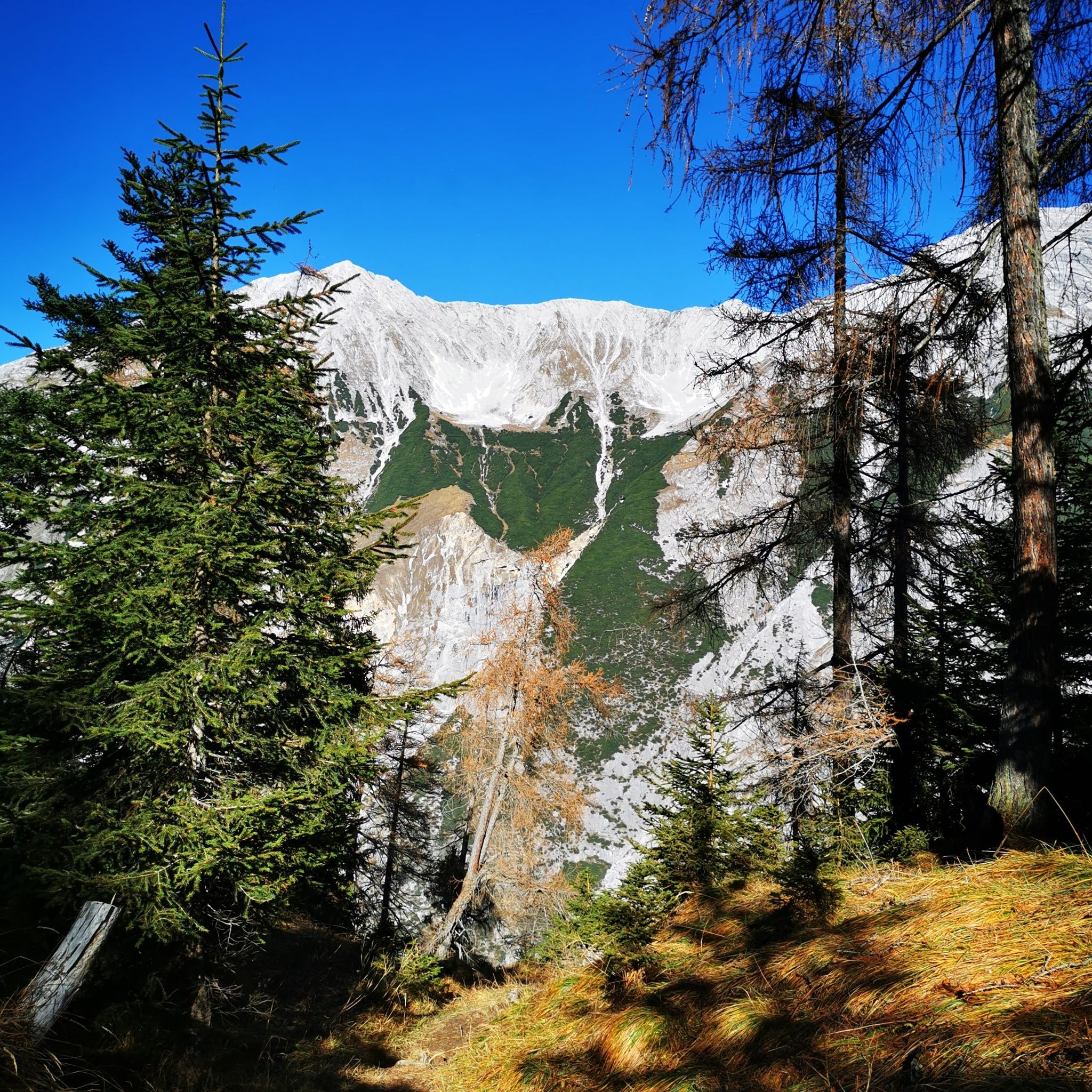
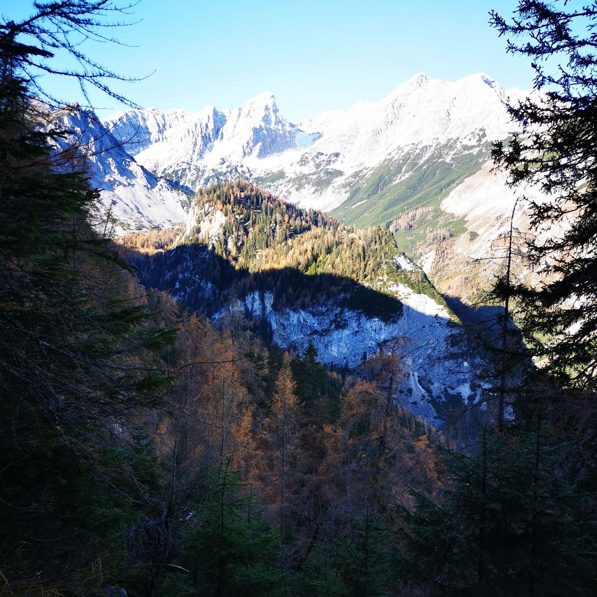
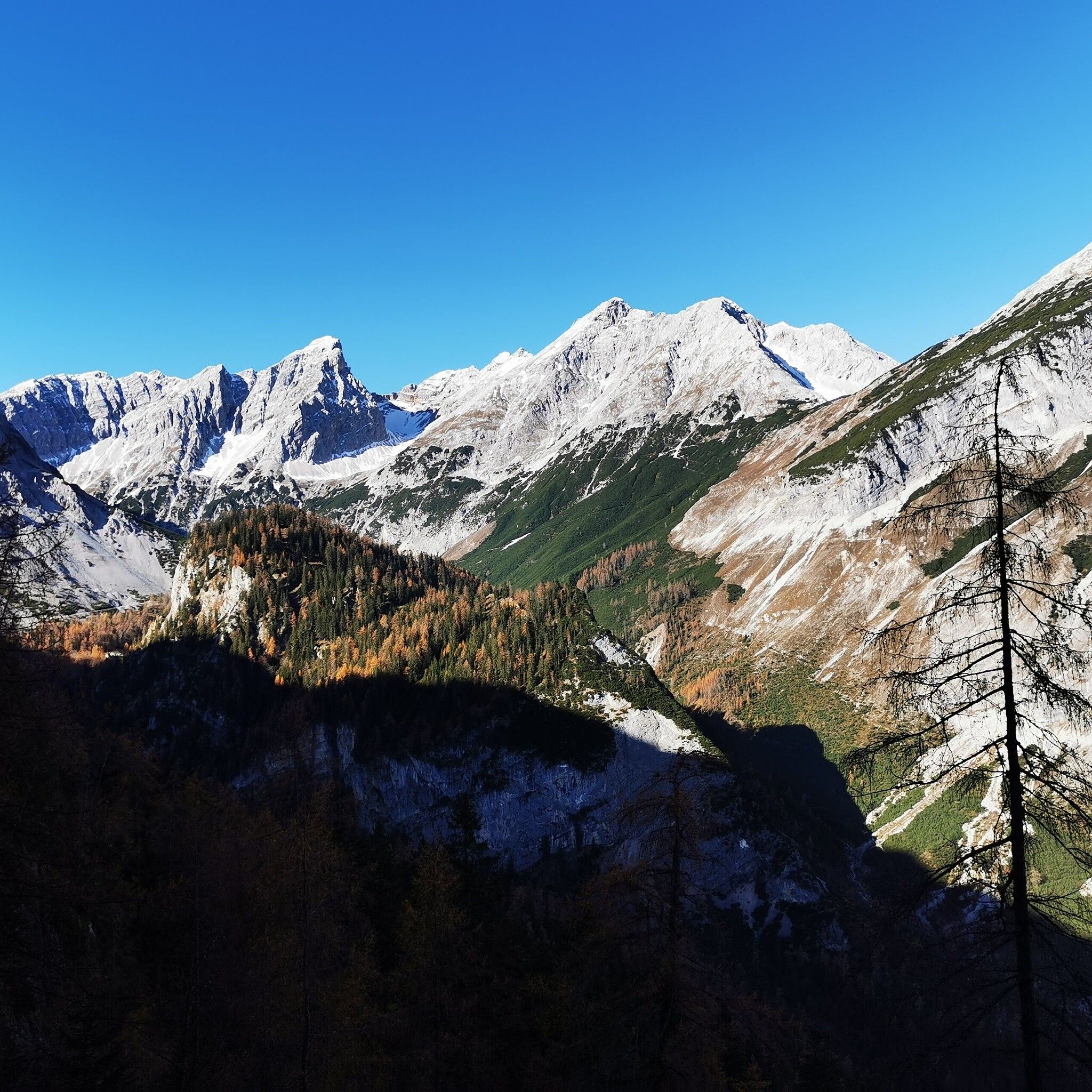
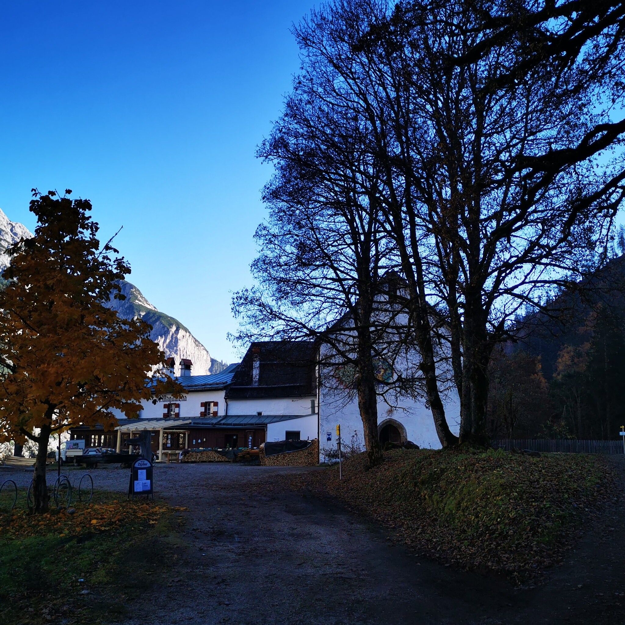
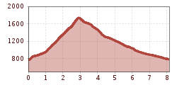
This hike to the Hochmahdkopf goes steeply uphill and somewhat more pleasantly downhill to the alpine inn St. Magdalena.

Getting here

  • Arrival by public transport

    By bus 501/bus 503 to Absam/Bettelwurfsiedlung

  • Parking

    Parking options at the starting point

More tours in the surrounding area

Newsletter

The mountain is calling? So does our newsletter!

In our monthly newsletter we reveal the best holiday tips for Tyrol.