 Fisser Bergbahnen GmbH_Andreas Ki")
Opening hours:Open today
Place:Fiss
:Alpine pasture / hut / mountain restaurant
Demanding, highly varied tour for mountain fans in good physical condition.
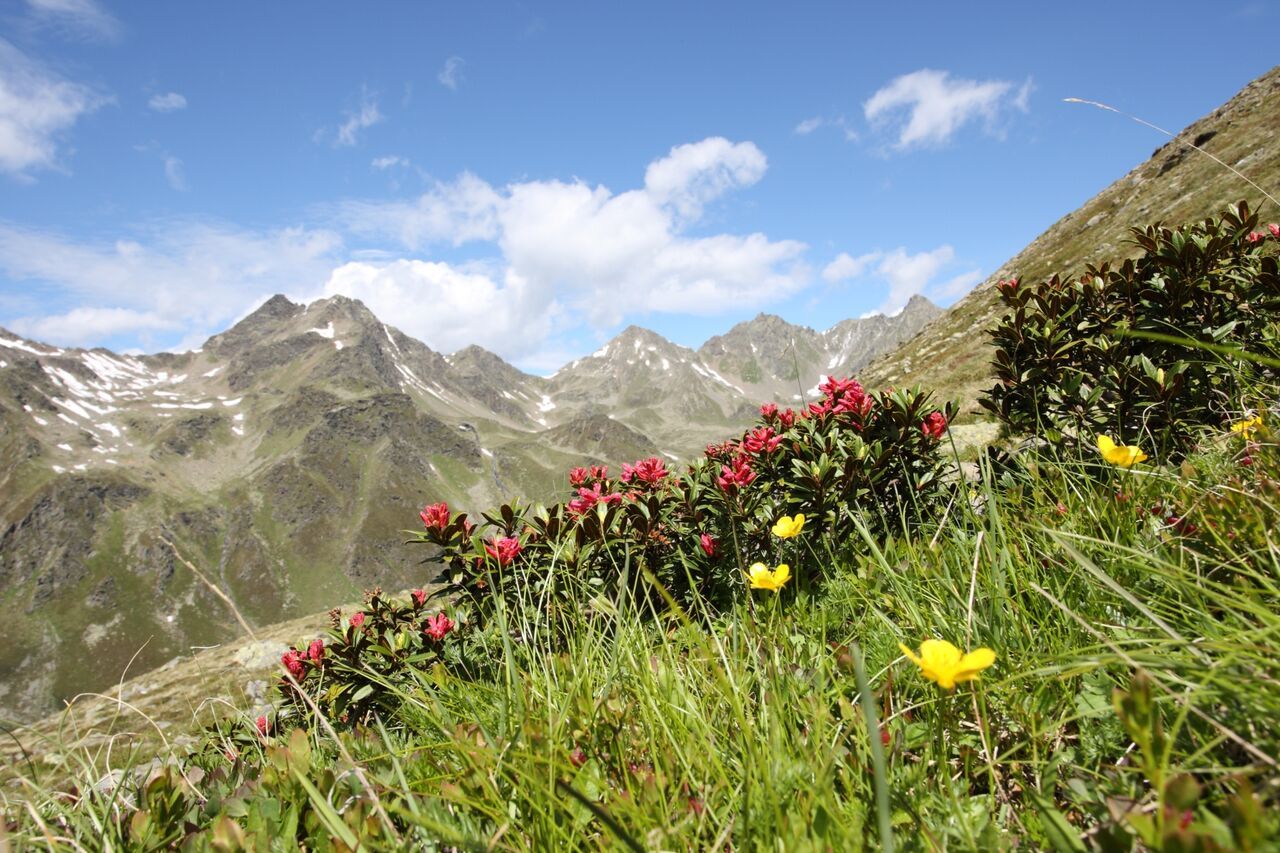
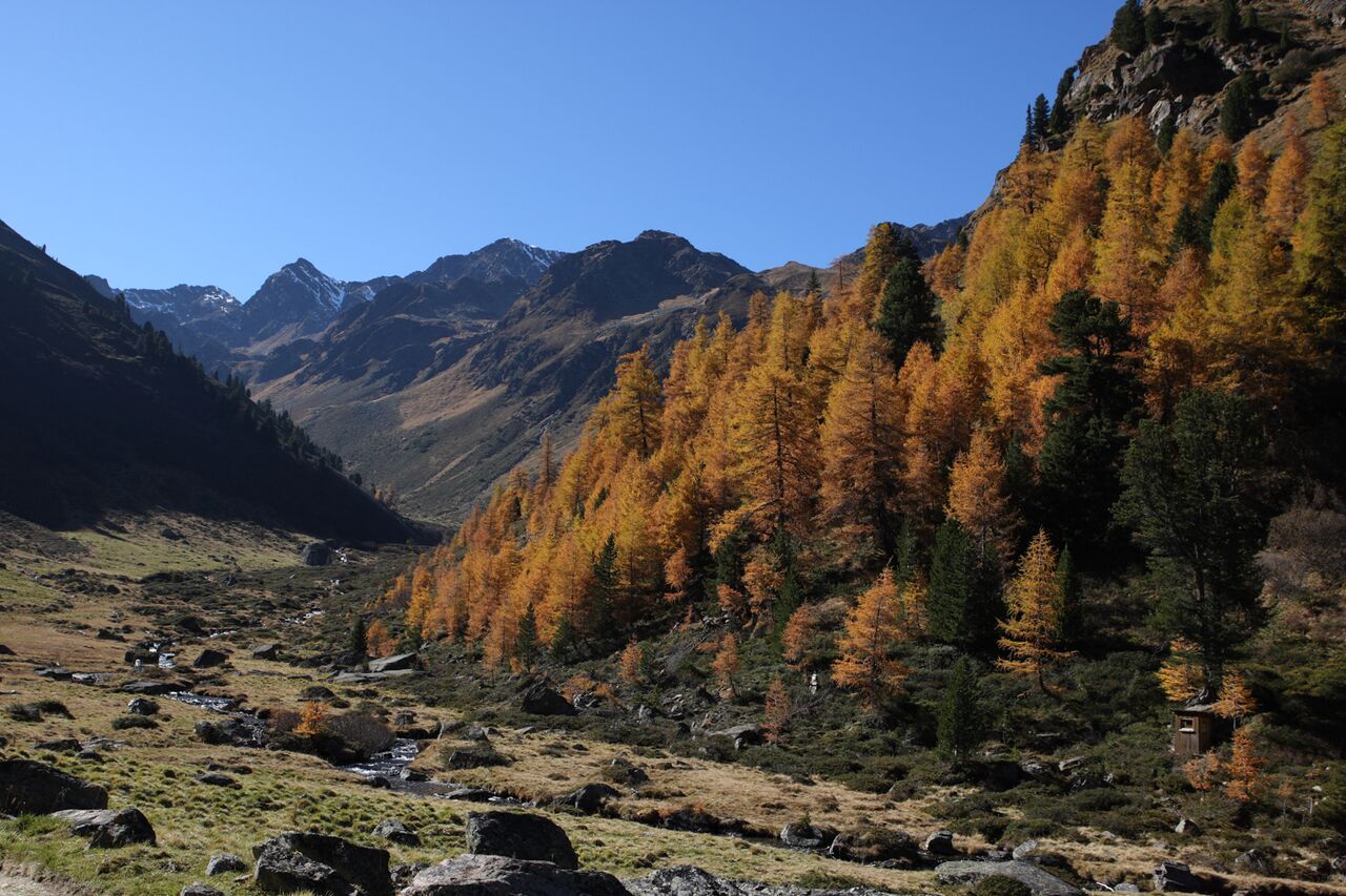
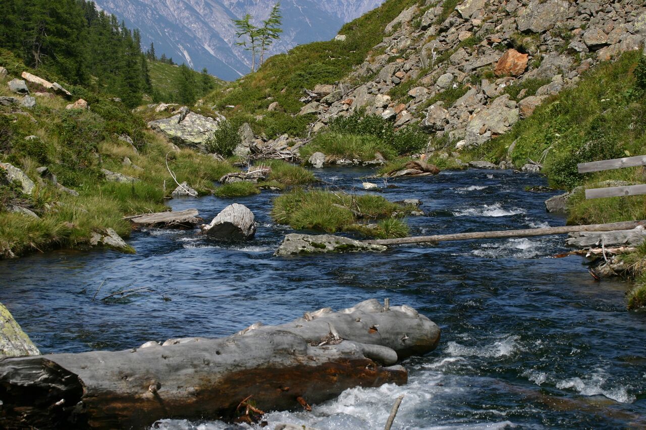
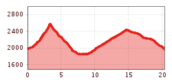
From the Komperdell top station (S201) ascend on "Quellenweg" and then on trail no. 20 and 20b to the Brunnenjoch (S256). On trail no. 17 follow the signs "Schöngampalm" until you reach the Lader Urgalpe. On trail no. 16 until the crossing (F038), ascend to the Schöngampalm (F039). On the broad trail to the Zirbenhütte (F041), hike on the "Emmerich Pale Weg 22" to the Fisser Joch and on the "Quellenweg" back to the starting point (Komperdell top station). Variant: descent with the Schönjochbahn cable car to Fiss.


 neu.jpg")


")


 (1).jpg")

.jpg")

")


