
Opening hours:Open today
Place:Serfaus
:café
Waldweg to Serfaus
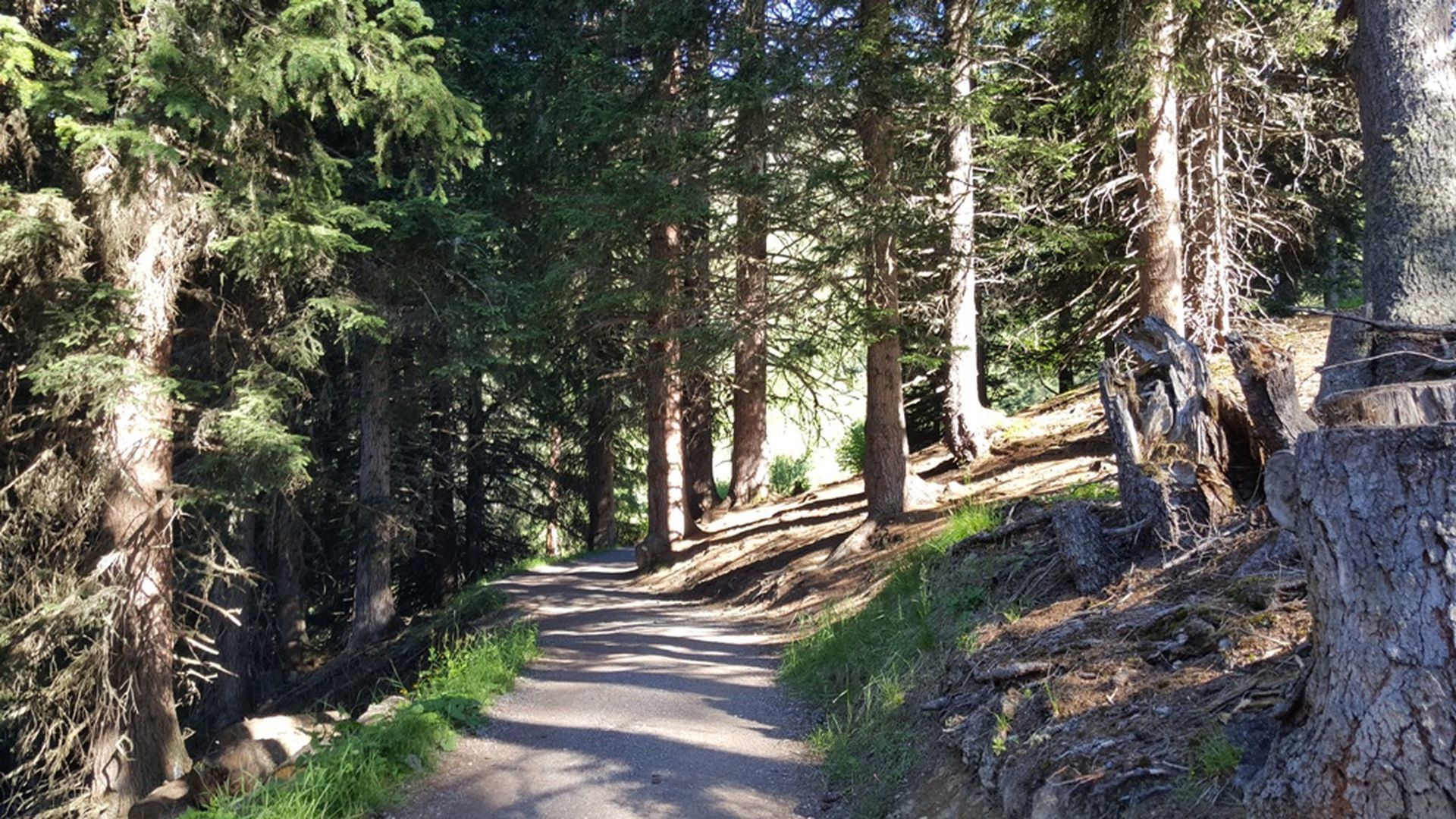
On the Serfaus main road, go to the Waldbahn valley terminal, about 100 m behind the tennis courts. Here the Waldweg forest trail begins through the Beutelwald forest (S018), a comfortable hiking trail which is mostly flat or gently ascending. Just before Serfaus, it descends a bit more steeply (S020), then crosses the main road again (S022, trail no. 3). This will lead you to the village centre in just 10 minutes. At the highest point of the forest trail (S020) the trail to the Bifangweg trail (S030) and to the Komperdell (S103) turns off right.
Fiss can be easily reached with the hiking bus line 221, which runs between Serfaus, Fiss and Ladis. Please get off at the Fiss Leite Parkplatz stop.
If you are travelling from Ried, Prutz or Landeck, you can take the regular bus line 220.


.jpg")


.jpg")
.jpg")


")
