Mountain hikes Zwölferkopf (2,596 m)

closed
Fiss / Samnaun Group
Difficulty ratings: easy
Route length: 3.3 km
Duration: 0:20 h

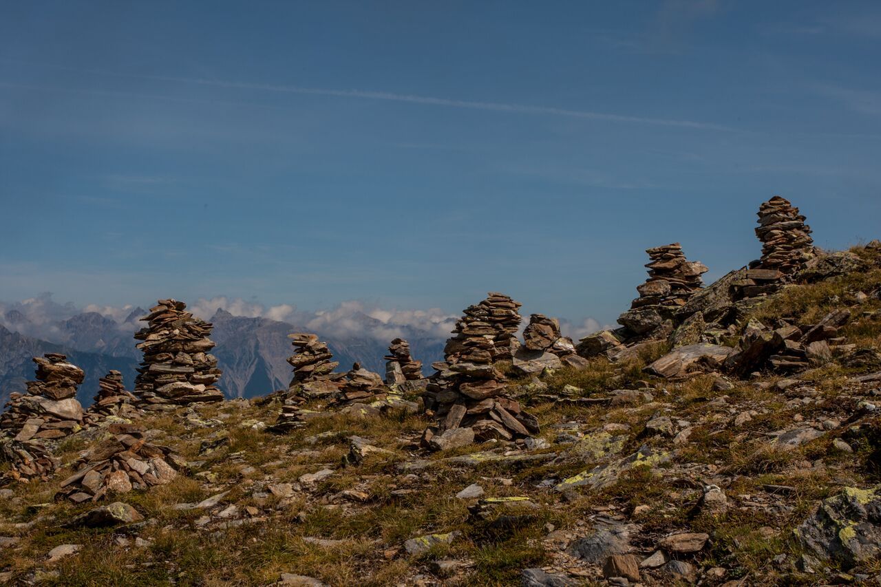
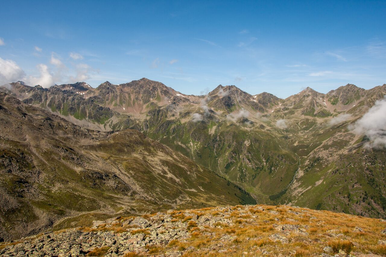
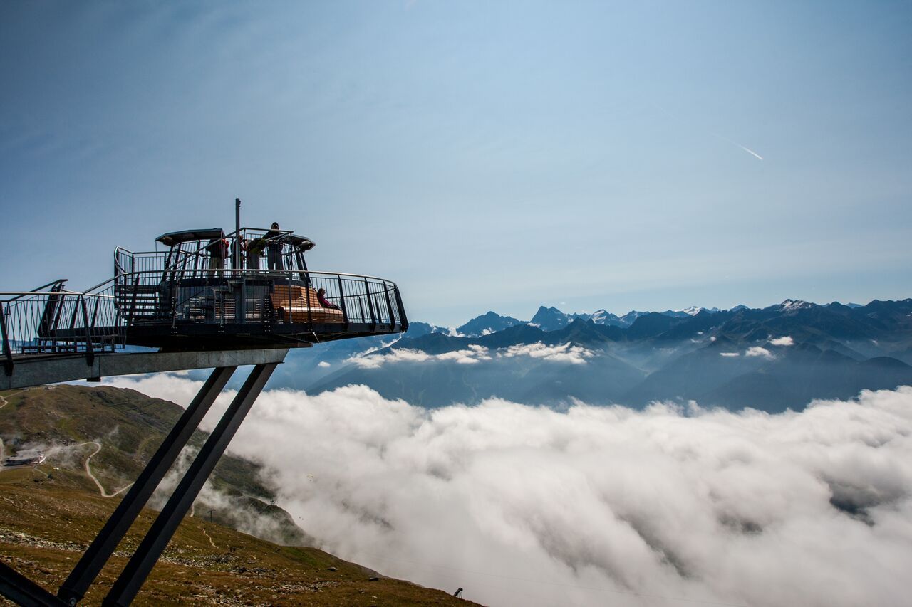
The Zwölferkopf is the home mountain on the Fisser Joch and easily accessible. At the summit there are open views of the surrounding mountains.

Tour information

  • Requirement: easy
  • Length: 3.3 km
  • Duration: 0:20 h
  • Elevation uphill:229 hm
  • Elevation downhill:228 hm
Highest point2,570 m

Starting point

Schönjochbahn top station

Finishing point

Schönjochbahn top station

Features

  • Circular route
Source: Serfaus-Fiss-Ladis

Description

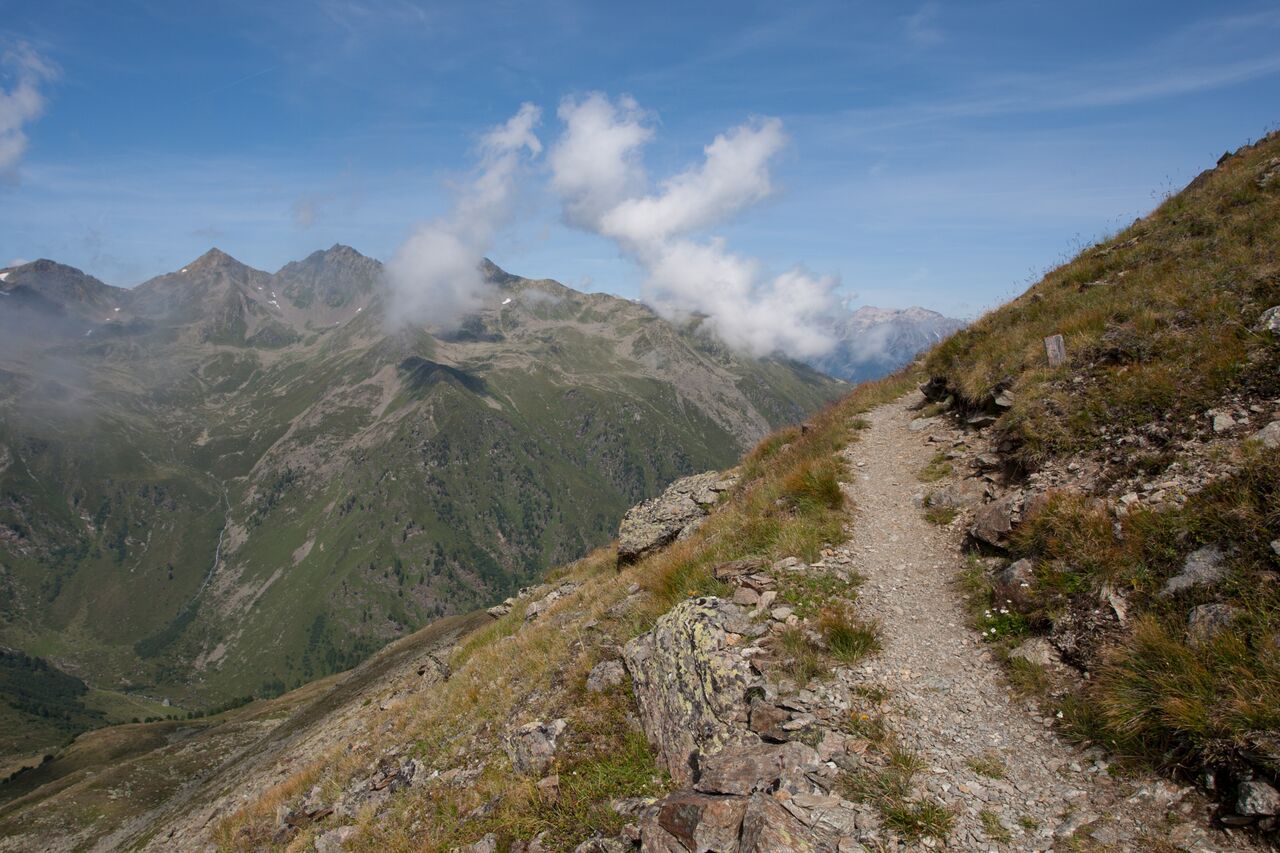
From the cablecar station (F087) head westwards along the vehicle track to the Zwölferkopf mountain terminal (F100, Almbahn mountain terminal). Descent to the southwest as a traverse on the ridge to the Panoramaweg trail (F101) and on this trail back to the Fisser Joch (F087, 45 min).

Nearby huts and mountain restaurants

More tours in the surrounding area

  • Wild Animals Trail

    Opening hours:closed
    Difficulty:easy
  • Marmot Trail

    Opening hours:closed
    Difficulty:easy
    Length:573 mDuration:0:20 hElevation uphill:12 m
  • Forscherpfad

    Opening hours:closed
    Difficulty:easy
    Length:3.4 kmDuration:1:30 hElevation uphill:219 m
  • Fiss to the Oberen Sattelkopf

    Opening hours:closed
    Difficulty:medium
    Length:5.6 kmDuration:3:00 hElevation uphill:1,079 m
  • Hiking trail to the Frommes Alp

    Opening hours:open
    Difficulty:easy
    Length:3.9 kmDuration:1:30 hElevation uphill:273 m
  • Six Senses trail

    Opening hours:open
    Difficulty:easy
    Length:5.7 kmDuration:4:00 h
  • Murmeltiersteig (Marmot alpine trail)

    Opening hours:closed
    Difficulty:medium
    Length:6.9 kmDuration:3:00 hElevation uphill:302 m
  • Six Senses trail

    Opening hours:closed
    Difficulty:easy
    Length:6.5 kmDuration:4:00 hElevation uphill:99 m
Newsletter

The mountain is calling? So does our newsletter!

In our monthly newsletter we reveal the best holiday tips for Tyrol.