
Opening hours:closed
Difficulty:easy
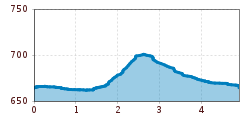
Length:1.2 kmDuration:0:18 h:Style: Skating, Classic
The Hinterkaiser loop is a tour for lovers of pleasure and nature.
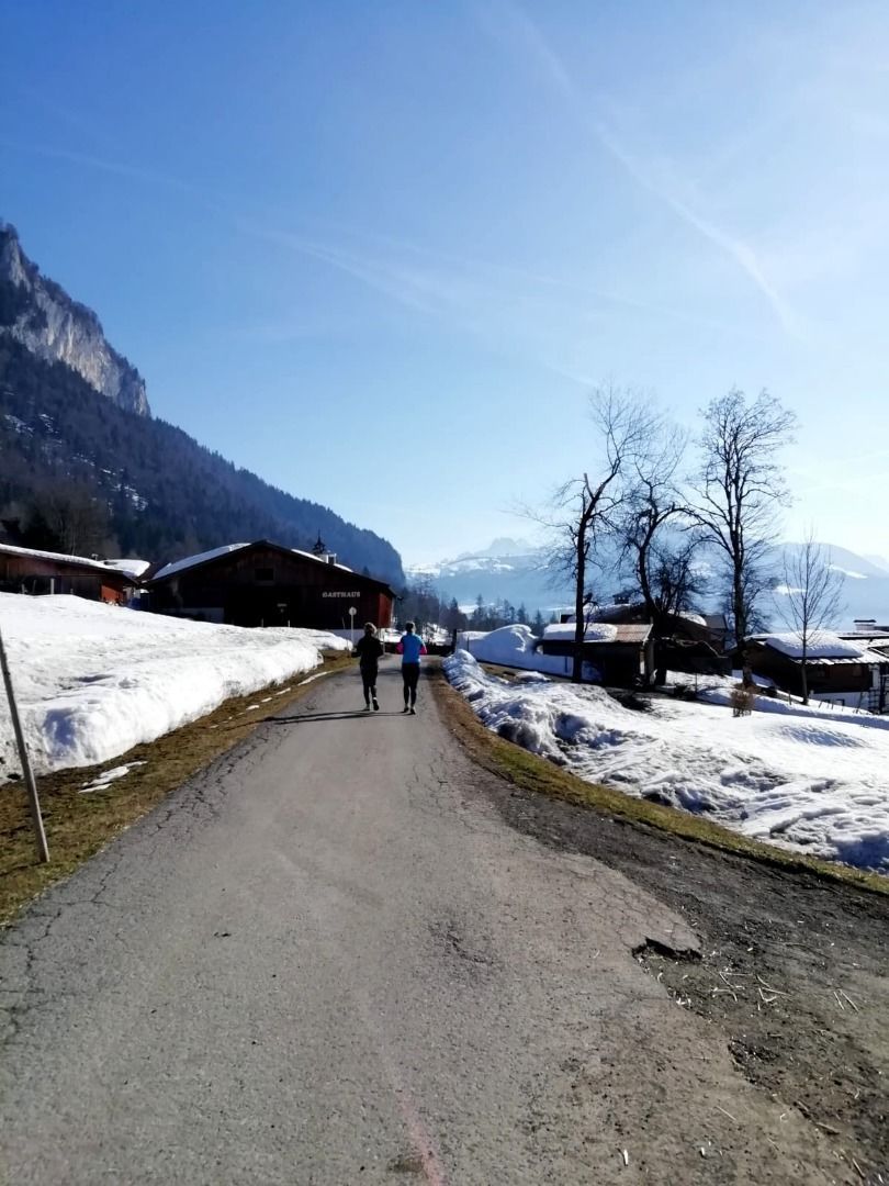
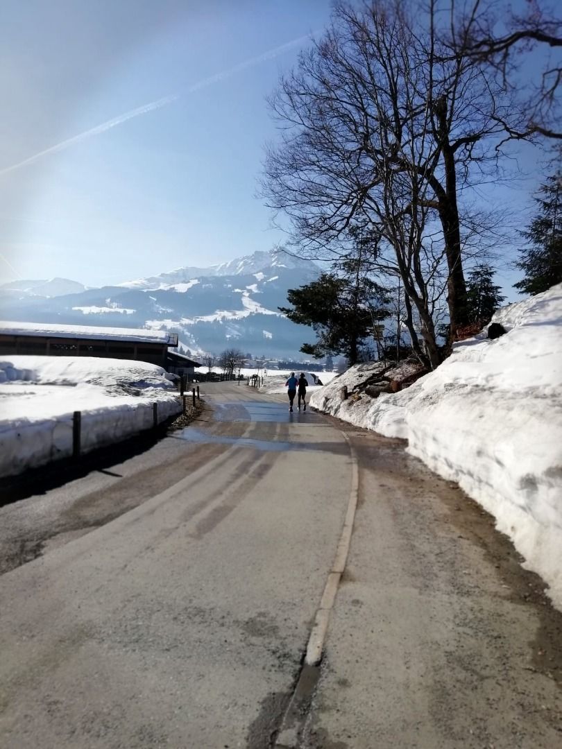
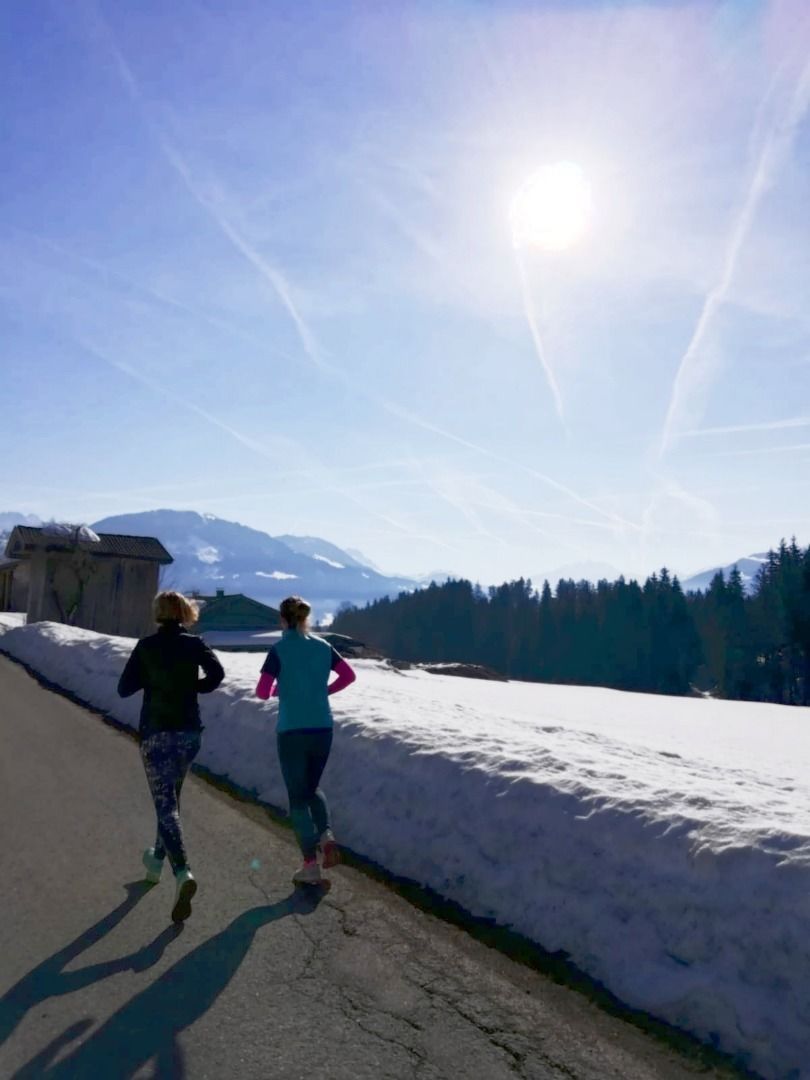
From the Koasastadion, walk to the traffic circle and follow Hinterkaiserweg. At the carpentry, turn right at Farcherweg. A footpath leads you to Bärnstetten. There you have to climb a few meters in the Hof Aigen area. After Schwentling, continue right along Hinterkaiserweg. After approx. 500 meters, there is a short stretch of gravel path through woodland. Keep left at the first junction. Once you reach the Hinterkaiserweg, turn right towards the center of St. Johann in Tirol and back to the Koasastadion.


 Mirja Geh (26).jpg")
 Sportalpen (21).jpg")


")


 Erwin Haiden (96).jpg")
