Arrival by public transport
Take line 4026 in the direction of Wörgl and get off at "Bad Häring Dorf". With the KufsteinerlandCard within the region bus free of charge.
Past the Rück Dich Gesund Pfad and the Haslacher Moor around Bad Häring.
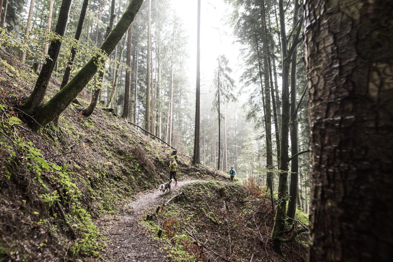
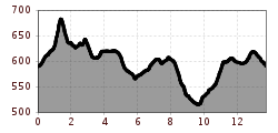
From the town centre of Kufstein you walk southeast uphill to Brandboden to reach the highest point of the tour at the edge of the forest. Continue in the direction of Fleck and there via Rück Dich Gesund Pfad and Häringer Wassrfall to Habring. After a short stretch on the country road turn right and walk a few meters downhill in the forest. Shortly before the spa centre, you come across the country road again for a short distance. After passing the spa centre up to Kirchbichl, another few metres downhill of altitude await you, but you can also walk directly uphill again. The last part goes through fields back to the centre of the village.
Take line 4026 in the direction of Wörgl and get off at "Bad Häring Dorf". With the KufsteinerlandCard within the region bus free of charge.
Municipal office or primary school, free of charge.


.jpg")


