Arrival by public transport
Take line 4026 in the direction of Wörgl and get off at "Bad Häring Dorf". With the KufsteinerlandCard within the region bus free of charge.
Continue to explore the area around the spa centre.
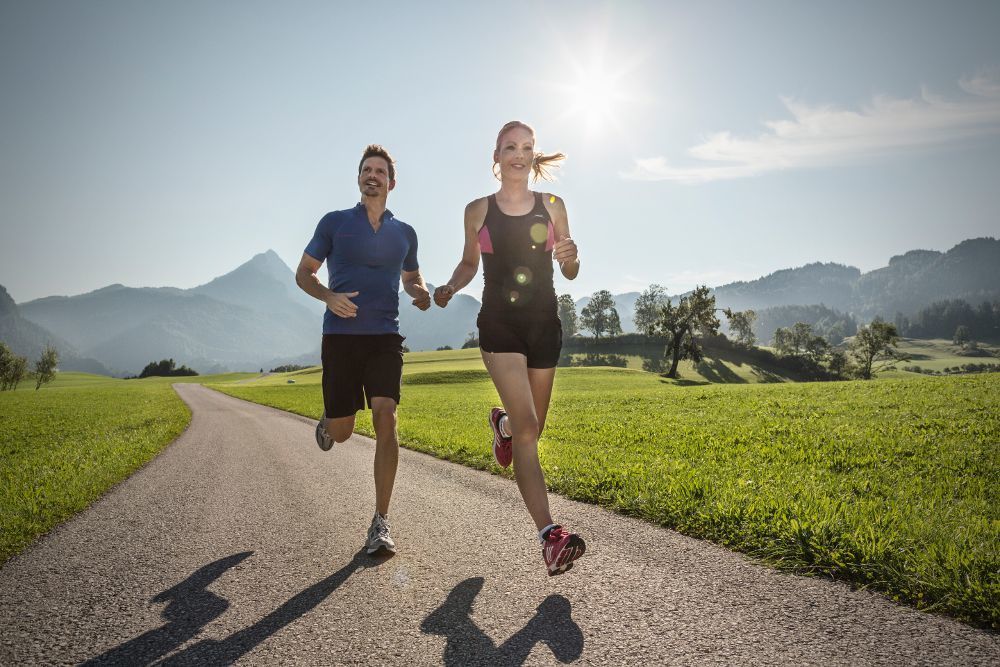
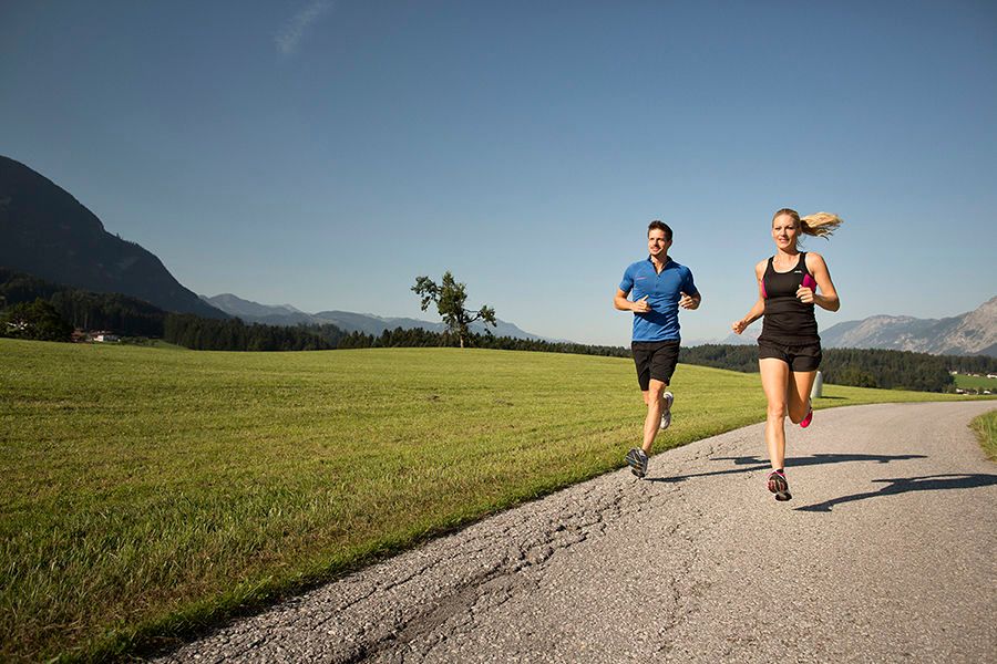
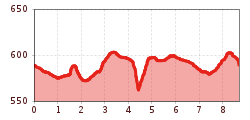
You start in the village centre of Bad Häring and walk along the main road in the direction of Schwoich. In the 3-Grafen Str. you leave the main road and follow the signs past a nice little chapel in the middle of the fields and further towards the sports field. From there, one virtually circumnavigates the spa centre in order to take the path along the forest with a marvellous view of the Pölven to the rehabilitation centre behind on the hill. Just like the Hotel Panorama Royal, one passes by in order to then walk over fields and views into the Inn valley as well as some detours through some hamlets back to the centre of the village.
Take line 4026 in the direction of Wörgl and get off at "Bad Häring Dorf". With the KufsteinerlandCard within the region bus free of charge.
Municipal office or primary school, free of charge.


.jpg")


