Pixaby")
Opening hours:Open today
Place:Itter
:café
Mühltalrunde
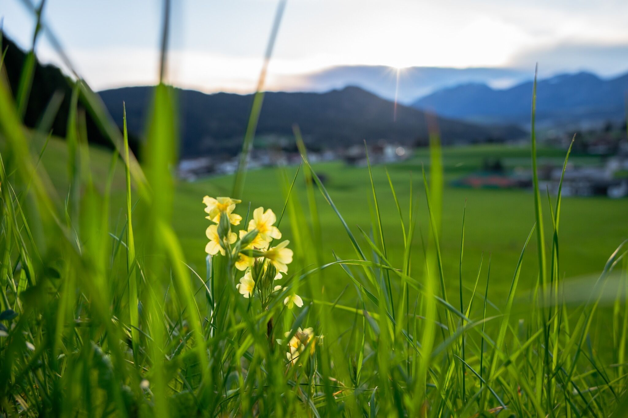
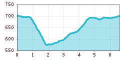
The starting point of the running route is the Itter village square. Follow the signs in the direction of Rosenweg (No. 4). Pass the viewing platform and continue to the fork in the road, where you turn right. At the fountain in Itterer Dörfl turn left and walk past the two farms Starmacher and Mitterer. There you follow the signs Mühltalrundweg in the direction of Nasen (No. 5). Once you have reached the bottom, cross the main road and follow the hiking and biking trail in the direction of Mühltal.
Pass the Rösslwirt inn and continue along the Dengbach stream in the direction of Schwendt. After the underpass, you will pass the Salvistabahn valley station. From there you get back to the starting point via the Schwendter Weg (No. 3).
bus: Itter village square
Guest card = travel ticket - bus & train included!
Online timetables:
www.vvt.at
www.oebb.at
free parking directly at the village square in Itter
Ferienregion Hohe Salve/GH Rössl")


 Erwin Haiden (10).jpg")
.jpg")
.jpg")
.jpg")
.jpg")
