
Difficulty:
medium
Length:
22.4 km
Duration:
8:30 h
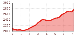
Elevation uphill:
1,250 m
Penkenjoch - Rastkogel
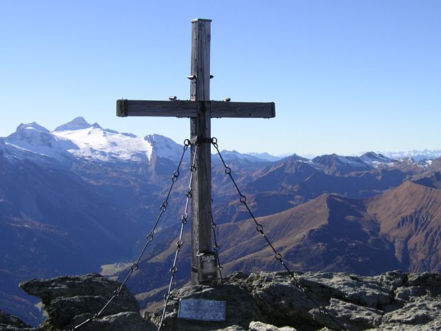
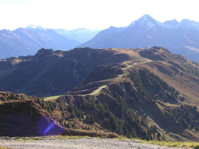

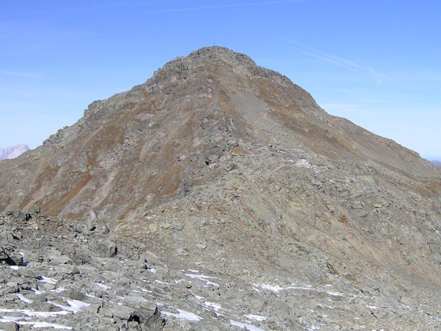
From the Penkenjoch (2,095 m) on a wide trail (no. 57) to the Wanglalm and Wanglspitze (2,420 m). Then take the pleasantly ascending trail to the Hoarbergjoch. Via the large boulders (trail no. 51) you easily reach the beautiful panoramic summit, distant view to the Zugspitze, the Rastkogel (2,762 m).
Descent via the same route and with the two cable cars of the Finkenberger Almbahnen comfortably back to the valley!
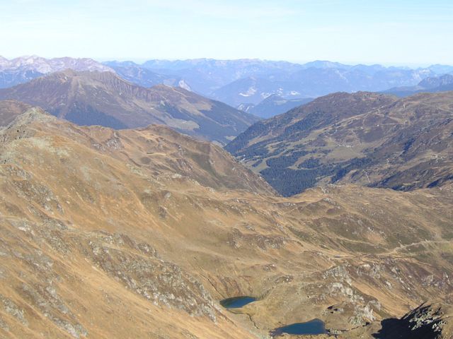
The descent to Tux via AV trail no. 318 via Geiselalm and further from Geislerhof via AV trail no. 315 to Tux-(Vorder)Lanersbach, trail no. 21 is also a popular option, walking time 4 h.


