Arrival by public transport
www.vvt.at, line 620
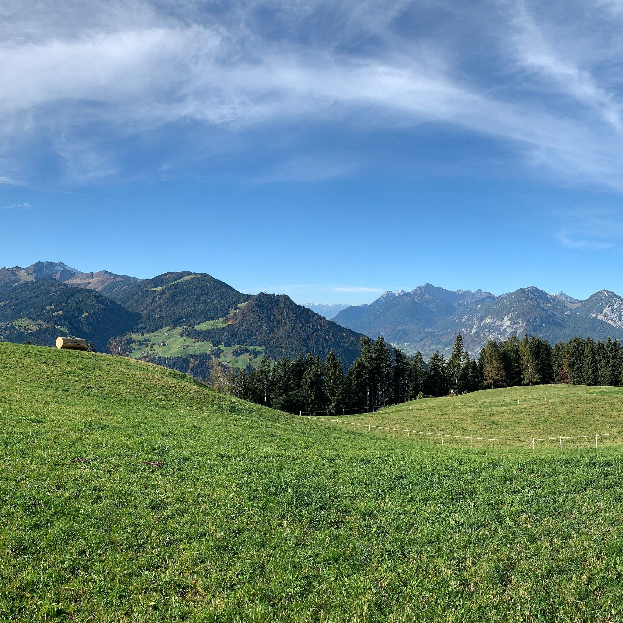
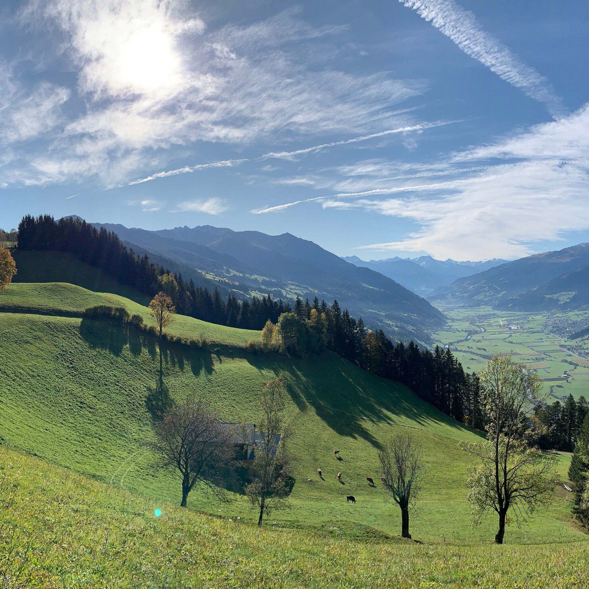
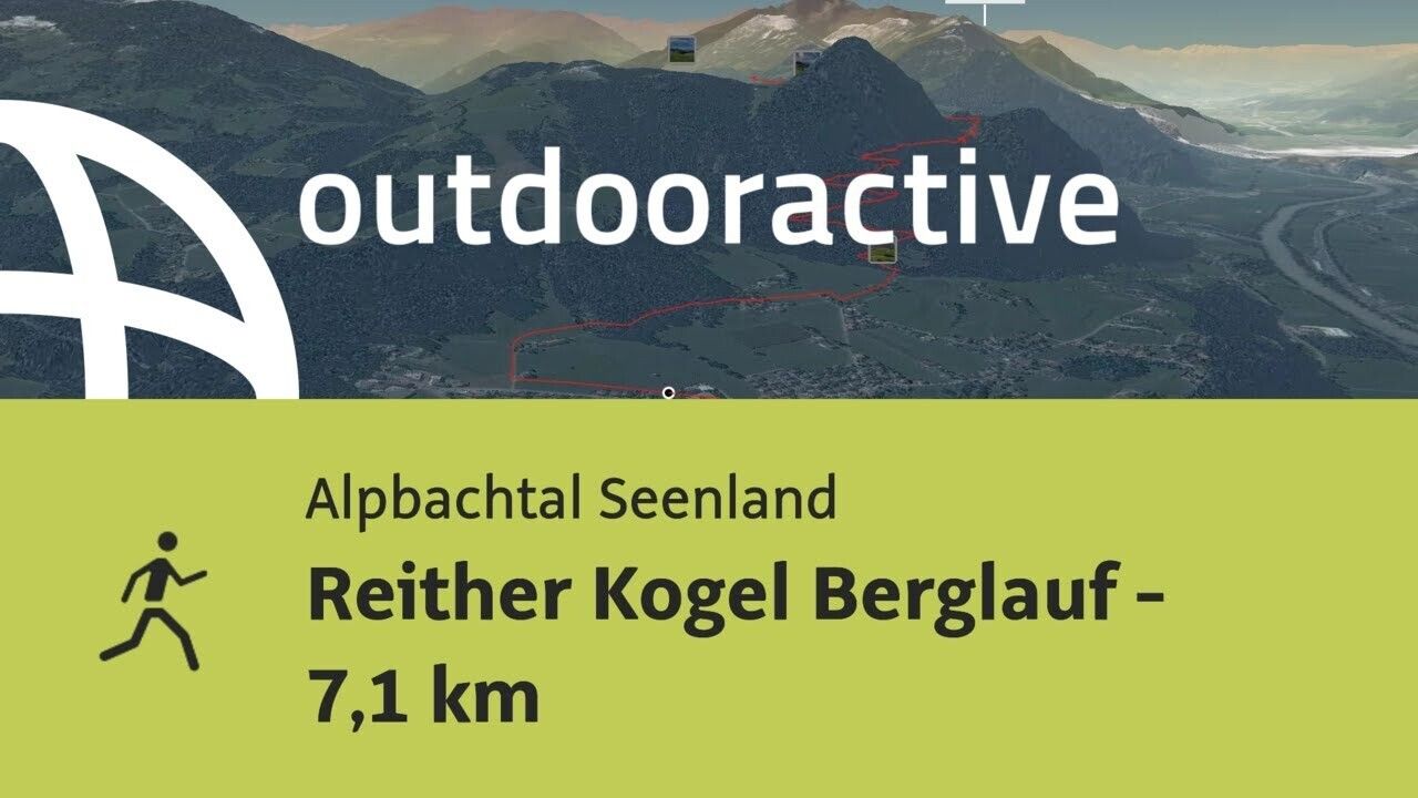
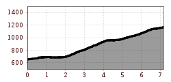
The challenging running trail in Reith: Start and finish for all 3 running trails in Reith i. A. is the parking lot at the Reitherkogelbahn. From the start, head towards Alpbach, after about 300 m turn right at the first marker and always follow the route to the Hub Chapel. All three routes follow the same path up to the Hub Chapel (km 1.8), where the routes then diverge.

WARNING!
good footwear, weather-appropriate clothing
At the junction at the Hub Chapel, take the panorama hiking trail uphill. The mountain destination is reached after 7.1 km.
Ways to return from the mountain destination to the starting point:
www.vvt.at, line 620
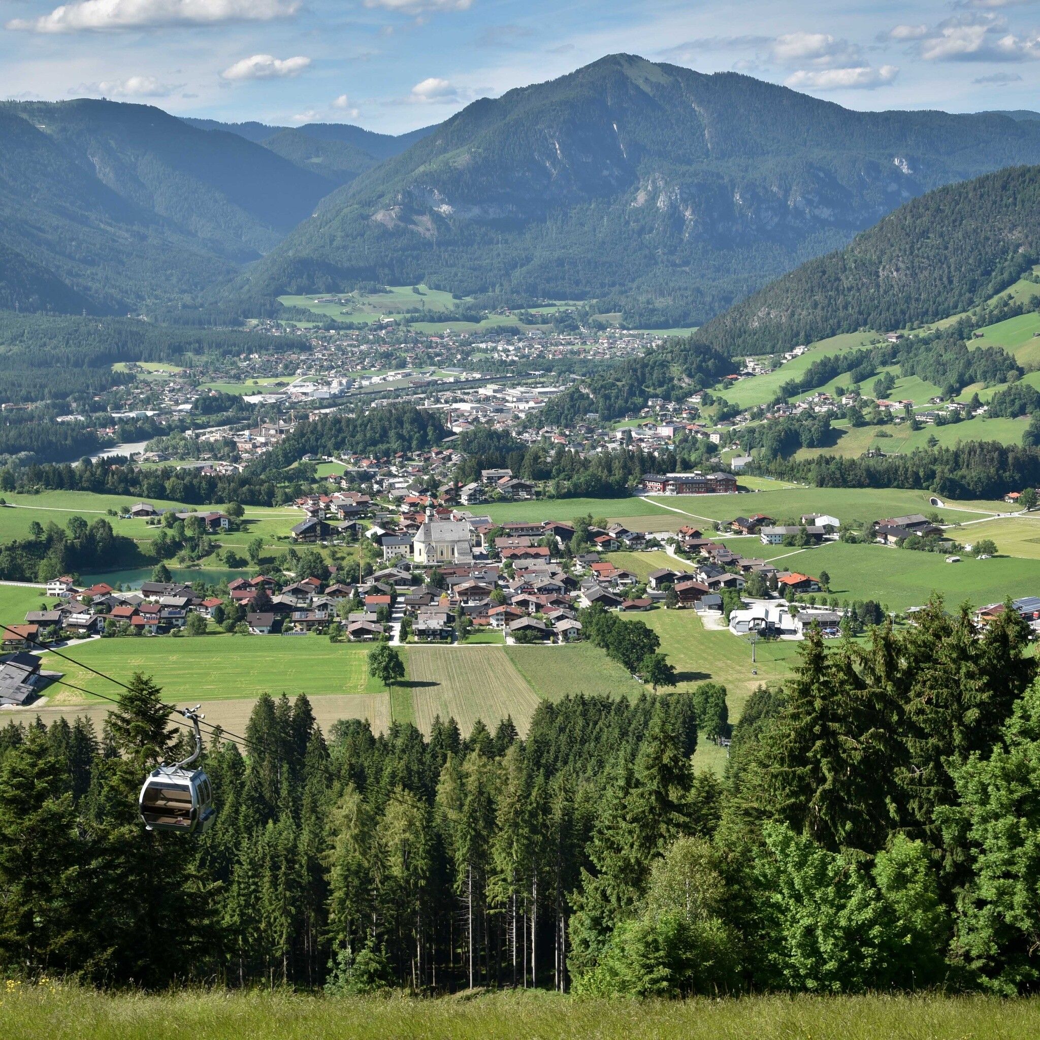
Reitherkogelbahn parking lot, Reith


.png")
 Andi Frank_TVB PillerseeTal (133).jpg")


")


