Arrival by public transport
With the KufsteinerlandCard within the region bus free of charge.
Get to know the surroundings from Bad Häring to Schwoich on a 10 kilometres run.
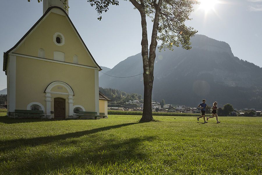
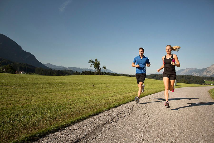
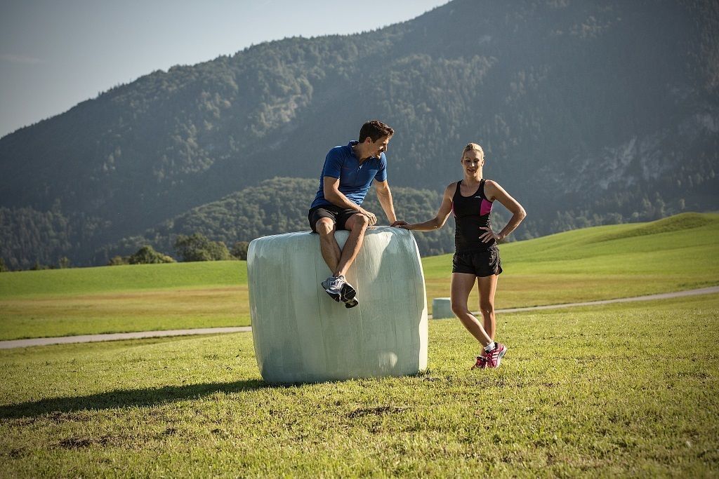
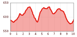
At the beginning you follow the country road towards Schwoich before turning right through the Haita, steadily uphill accompanied by a pleasant stream. On the fields between the hamlets of Waldschönau and Aufing you have most of the difference in altitude behind you. Afterwards, one still walks steadily downhill on asphalt roads, meets the hamlet of Sonnendorf (Schwoich) and then masteres a few metres of uphill. Over the Schwoicher Höhe we return to the starting point.
With the KufsteinerlandCard within the region bus free of charge.


.jpg")


