

Place:St. Jakob i. D.
:Restaurant, Alpine pasture / hut / mountain restaurant
A ski touring experience in a dreamlike setting
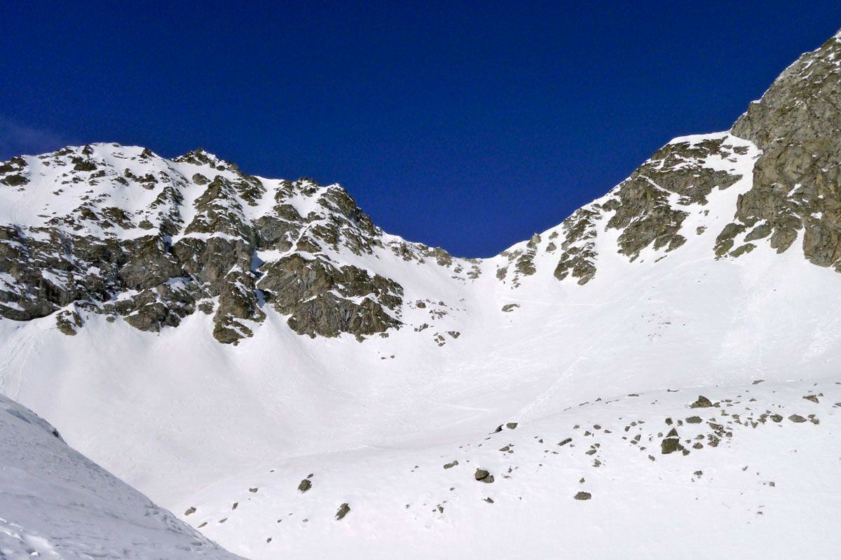
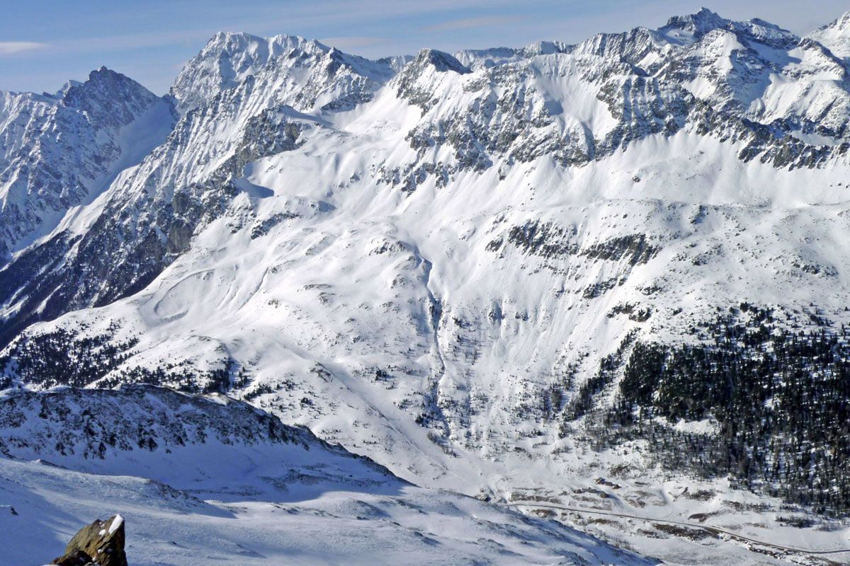
On the sunny side of the Staller Sattel, at the entrance to the Rieserferner group, the rugged pyramids of the Almerhorn jut out. The summit is easy to climb via the steep Jägerscharte (2939 m) situated in the west and is a popular tour destination for advanced level ski tourers. The descent on the north side of the Almerhorn in particular into Patschertal is a ski tour which is a special treat. It requires knowledge of the town and should only be attempted when snow conditions are good.
The starting point is the aforementioned Staller Sattel at the end of Defereggental. Parking is available at the end of the road opposite the abandoned ski lifts. Via the former piste you now proceed up to the uppermost lift booth, where the track proceeds into open terrain. Via several short upswings, we enter an enclosed basin beneath the Jägerscharte. Whereas the summery tarns are difficult to make out, we keep to the steep wind gap slope. This is the key point of the climb in particular during the frozen snow conditions in the morning and this requires a honed technique when it comes to handling switchbacks. When there is hard snow it is safer to carry your skis and safer out on the route. From the wide col we now follow the short, western ridge which is mostly open to the wind up to the highest point with the cross (3 hours by car). Descend into the wind gap and along the ascent track.
Additional ski tour tips can be obtained in the ski tour guides by Thomas Mariacher. These are available here: http://www.grafikzloebl.at/verlag/buecher/


