Ski tour Berger Kogel 2.656m

Virgen in Osttirol / Venediger Group
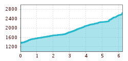
Route length: 6.3 km
Duration: 4:00 h

Much committed local mountain in Virgen
Tour information

  • Length: 6.3 km
  • Duration: 4:00 h
  • Elevation uphill:1,288 hm
  • Elevation downhill:0 hm
Highest point2,656 m

Starting point

Car park Welzelach

Finishing point

Berger Kogel 2.656m
  • Fitness level 4 / 6
  • Technique 3 / 6

Best time of year

  • January
  • February
  • March
  • April
  • May
  • June
  • July
  • August
  • September
  • October
  • November
  • December
Source: TVB Osttirol

Description

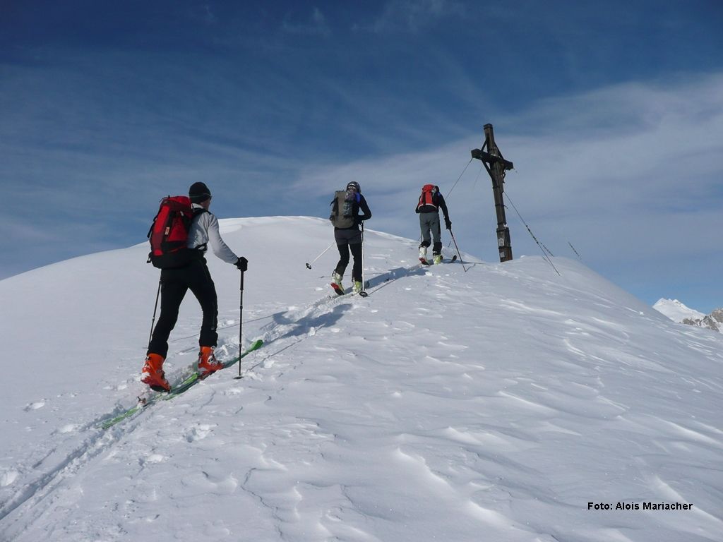
Starting from the small car park, proceed either via the ski route or via the road, or climb directly through the forest (steep!) up to Marcher Alm. After a brief pause to have a drink climb steadily further up to a peak in the terrain (Bläß), and from there descend slightly in a hollow just in front of you, which bears right and proceeds via a crest up to the summit climb. It takes some 15 mins to tackle the climb before you reach the highest point and are rewarded with a wonderful view to the towns of Prägraten and Virgen.

Additional ski tour tips can be obtained in the ski tour guides by Thomas Mariacher. These are available here: https://www.tyroliaverlag.at/item/Skitouren_in_Osttirol_und_Oberkaernten/Thomas_Mariacher/43058387

Nearby huts and mountain restaurants

Getting here

  • Arrival by public transport

    Bus stop Virgen Kirche

  • Parking

    Car park Welzelach

Weather

Today

light rain showers
26°C/15°C
60%3l5 km/h

Mon

light rain showers
30°C/16°C
50%2l5 km/h

Tue

light rain showers
30°C/16°C
50%3.7l5 km/h
Go to weather forecast

More tours in the surrounding area

  • Breiteggspitze

    Difficulty:easy
    Length:3.4 kmDuration:2:00 hElevation uphill:700 m
  • Seefelder Joch

    Difficulty:medium
    Length:5.8 kmDuration:2:30 hElevation uphill:866 m
  • Patscherkofel Schutzhaus

    Difficulty:medium
    Length:13.3 kmDuration:2:30 hElevation uphill:1,000 m
  • Eichenhof

    Difficulty:medium
    Length:4.7 kmDuration:2:50 hElevation uphill:898 m
  • Mutterer Alm

    Difficulty:medium
    Length:3.1 kmDuration:2:00 hElevation uphill:581 m
  • Bichalm

    Difficulty:easy
    Length:2.4 kmDuration:1:30 hElevation uphill:450 m
  • Hoadl-Haus

    Difficulty:easy
    Length:7.6 kmDuration:2:25 hElevation uphill:778 m
Newsletter

The mountain is calling? So does our newsletter!

In our monthly newsletter we reveal the best holiday tips for Tyrol.