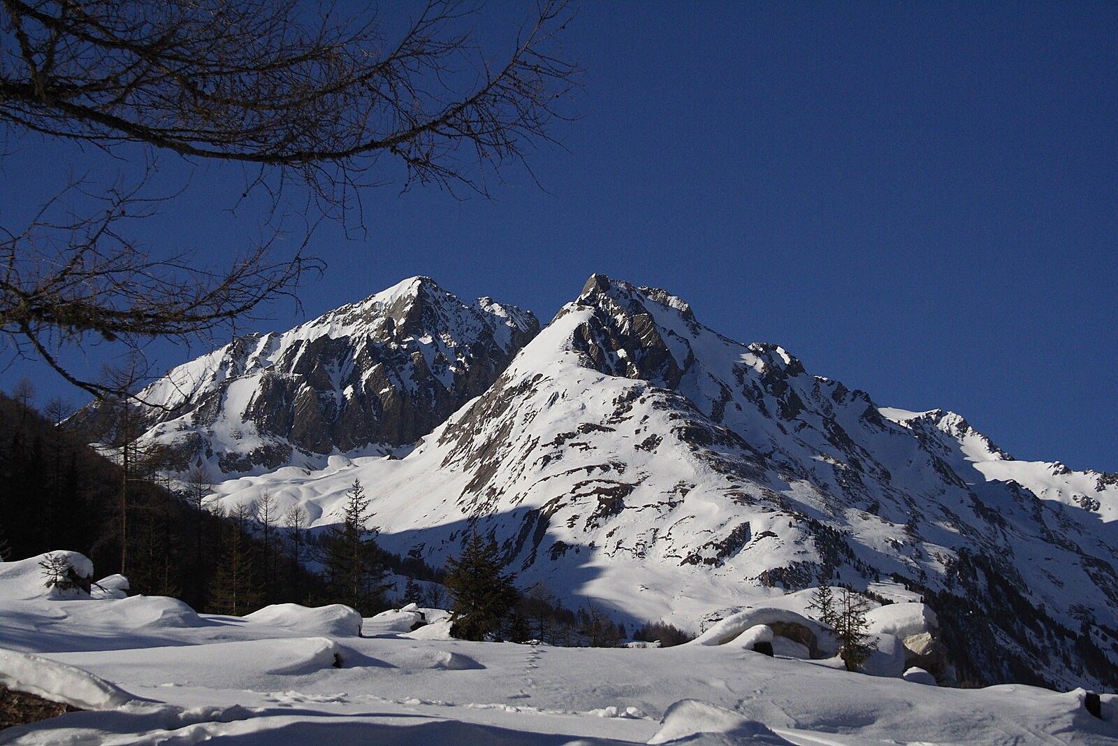
Ski tour Brunnerkogel 2.606m

Kals am Großglockner / Granatspitze Group
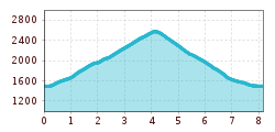
Route length: 8.2 km
Duration: 3:00 h

Tour information

  • Length: 8.2 km
  • Duration: 3:00 h
  • Elevation uphill:1,090 hm
  • Elevation downhill:1,080 hm
Highest point2,600 m

Starting point

Parkplatz Dorfertal

Finishing point

Brunnerkogel

Best time of year

  • January
  • February
  • March
  • April
  • May
  • June
  • July
  • August
  • September
  • October
  • November
  • December

Equipment

Basic equipmentforskitoursincludestouringskiswithskins, touringpoles, suitabletouringskiboots and functionalclothingbased on thelayeringprincipleincludingsufficient spare clothes. Keep yourbackpackweightaslowas possible. Essential in open terrainiscompleteavalancheemergencyequipment (transceiver, shovel, probe) aswellas a firstaid kit, a bivy sack and a charged mobile phone. Sufficientfluids and foodshould also becarried. An avalancheairbagbackpackcanfurtherincreasethechancesofsurvival in an emergency. 
 
This informationservesas a guide and does not claimtobe exhaustive. Equipment mustalwaysbeadaptedtothe tour destination, weatherconditions, season, naturalhazards, environmental influences and personal needs. 
Source: TVB Osttirol

Description

From the Tauererwirt car park, walk along the path 200 metres towards Dorfertal. Before the entrance to the Dorfertal, cross the bridge on the left and follow the path out of the valley in about 400 metres. Here, a flat slope on the right leads to the forest and through it, always to the right along a rugged brook ditch, sometimes steeply up to the alpine pastures at 1,900 metres. Continue across the meadows towards Pahlalm. Pass it on the left side. Keeping left, you will come to the Kerer Hochalm (high alpine farm). Pass the hill farm across the spacious slopes directly to the Hochtor. The summit of the Brunnerkogel can be reached on the right (north-west) via the ridge (watch out for snow being dumped by the wind!).

Possible descents:
Descent like ascent. At the alpine pastures at approx. 1,900 metres you can also use a path that leads to the south. Here you get to a ski run, across which you can ski towards the Taurerwirt. You can ski down to the Taurerwirt via a cross-country ski run 200 metres above the lift station.

Nearby huts and mountain restaurants

Getting here

  • Arrival by public transport

    by busline 952 until the busstop Kals/Taurer

  • Parking

    by car to Kals/Burg-Taurer at the parking Dorfertal
    Parking Dorfertal

Weather

Snow depth
Now: 0 cm,
Next snowfall: No data available
Go to snow report

More tours in the surrounding area

Newsletter

The mountain is calling? So does our newsletter!

In our monthly newsletter we reveal the best holiday tips for Tyrol.