
Arrival by public transport
Mit dem Bus bis zur Haltestelle "Kartitsch Gemeindeamt"
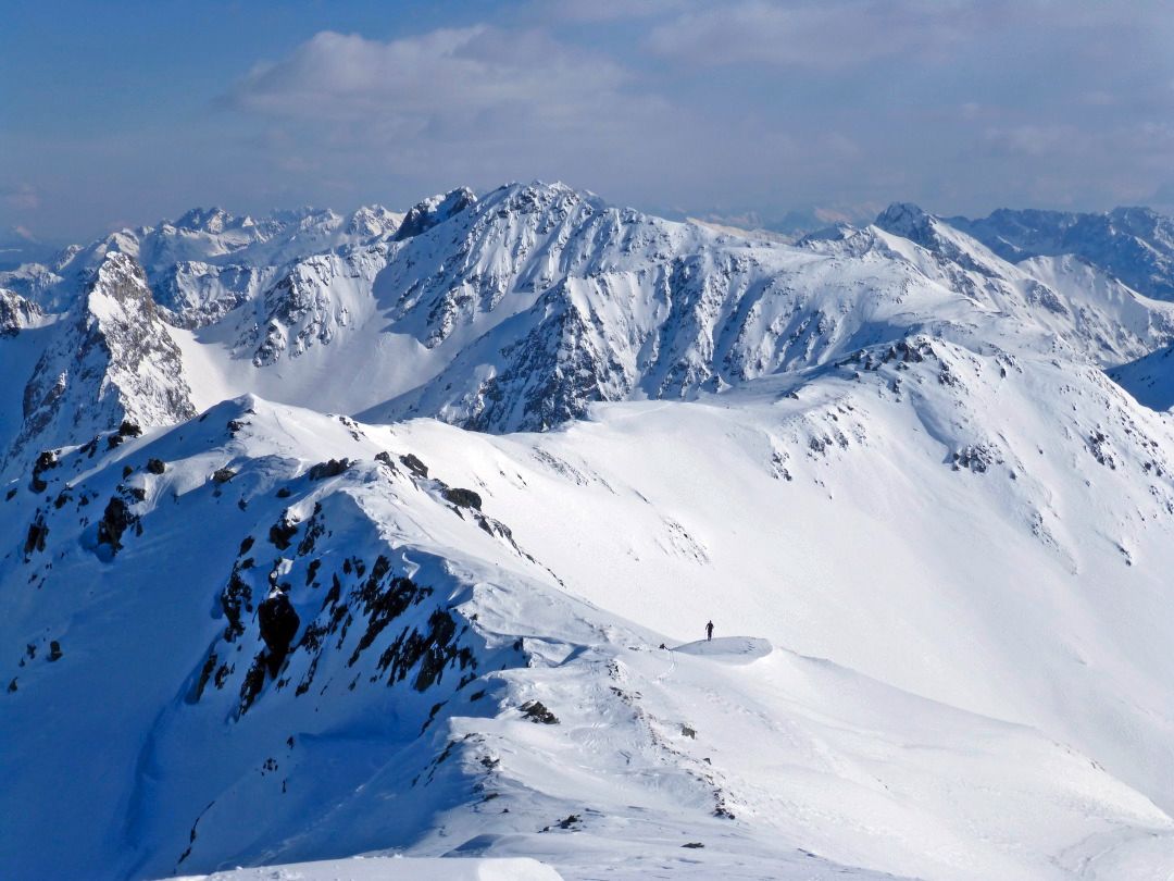
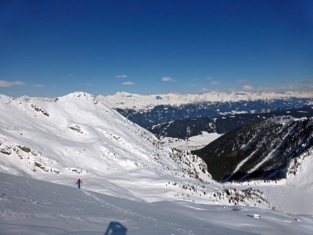
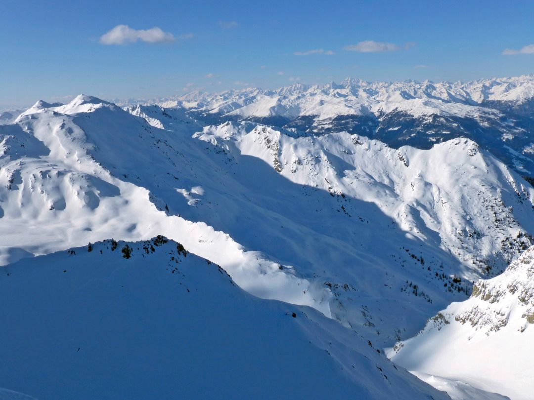
Another tour destination in Kartitsch’s Winklertal is the long draw-out summit of the Eisenreich. It is located to the west of the Pfannspitze and is tackled directly from Obstanser Wiesenboden. During this tour to the blocked rocky area at the head of the Winklertal is to be negotiated before we get to enjoy the ski-friendly slopes. Starting point: the entrance to Obstanser Wiesenboden proceeds the same as the ski tour to the Pfannspitze, and the same precautions apply! The ascent to the Eisenreich proceeds direct from Wiesenboden (1962 m) up via a wide ramp terrain, which, 200 metres after the lovely wooden hay barn in the plateau is like a solidified tongue of ice. Via these, in cleared hairpin bends heading south-west, until at around 2400 m we cross to the south on the accompanying ridge, leaving the superb slopes. Via the ridge which now narrows, the track takes us west on the cleared ridge line, where we proceed up and downhill continuing west to the peak of the Eisenreich, which is very secluded in the winter. This is where Friedensweg 403 proceeds in the summer, bringing together the entire Carnic region and reminds us of the horrors of World War 1. Descent along the ascent track. For photos of the rocky area see the tour to the Gatterspitze.
Additional ski tour tips can be obtained in the ski tour guides by Thomas Mariacher. These are available here: http://www.grafikzloebl.at/verlag/buecher/
Mit dem Bus bis zur Haltestelle "Kartitsch Gemeindeamt"
Mit dem Auto bis zum Sportplatz Kartitsch
Parkplatz Sportplatz Kartitsch


