

Opening hours:Open today
Place:Matrei in Osttirol
:Restaurant, Alpine pasture / hut / mountain restaurant
Classic hiking routes in the Felbertauern
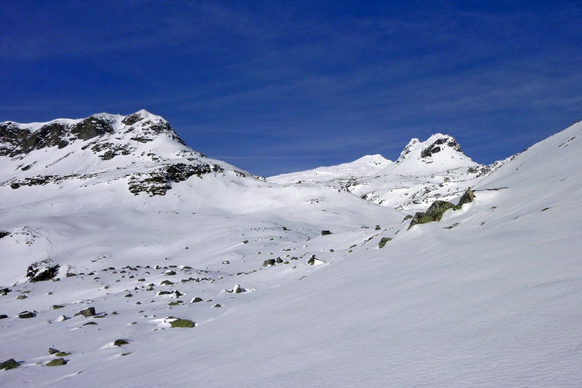
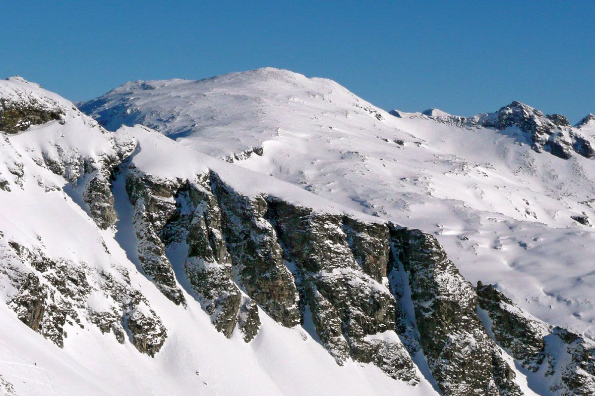
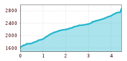
Another tour option proceeds from the Felbertauern south portal to the Hochgasser (2922 m). Much like its proud neighbouring summit, it is well-known beyond the borders of East Tirol, providing great snow quality even early on in the season. Even though the summit ascent proceeds through relatively flat terrain, the slopes before and after Grünseehütte are to be assessed specifically in technical avalanche terms. Starting point is the south portal (1600 m). As for the ski tour to Amertaler Höhe, we follow the recently set-up forest trail above the car parking area which brings us through the forest belt into open terrain. We now walk through the moderately steep slopes in a north-westerly direction and via the flat base reach the run-up area to the romantic Grünsee Hütte (2235 m). After a short break, the ski tracks swing above the Grünsee, skimming the banks of Schwarzsee and, after a few hairpin bends, reach Messelingscharte (2563 m). Crossing the following, wide pasture slopes the track now takes us to the highest point and the north face which breaks off almost vertically into Amertal (3 hours from the car park). Descent along the ascent track.
Additional ski tour tips can be obtained in the ski tour guides by Thomas Mariacher. These are available here: https://www.tyroliaverlag.at/item/Skitouren_in_Osttirol_und_Oberkaernten/Thomas_Mariacher/43058387
Car park Felbertauern south portal


