Equipment
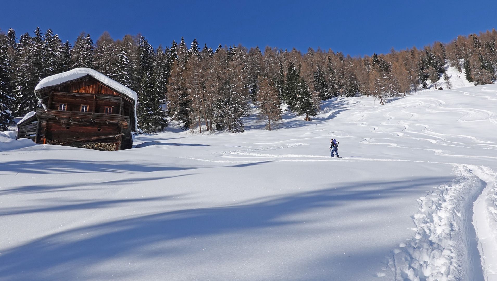
Basic equipmentforskitoursincludestouringskiswithskins, touringpoles, suitabletouringskiboots and functionalclothingbased on thelayeringprincipleincludingsufficient spare clothes. Keep yourbackpackweightaslowas possible. Essential in open terrainiscompleteavalancheemergencyequipment (transceiver, shovel, probe) aswellas a firstaid kit, a bivy sack and a charged mobile phone. Sufficientfluids and foodshould also becarried. An avalancheairbagbackpackcanfurtherincreasethechancesofsurvival in an emergency.
This informationservesas a guide and does not claimtobe exhaustive. Equipment mustalwaysbeadaptedtothe tour destination, weatherconditions, season, naturalhazards, environmental influences and personal needs.