
Arrival by public transport
Mit dem Bus bis zur Haltestelle "Obertilliach Biathlonzentrum"
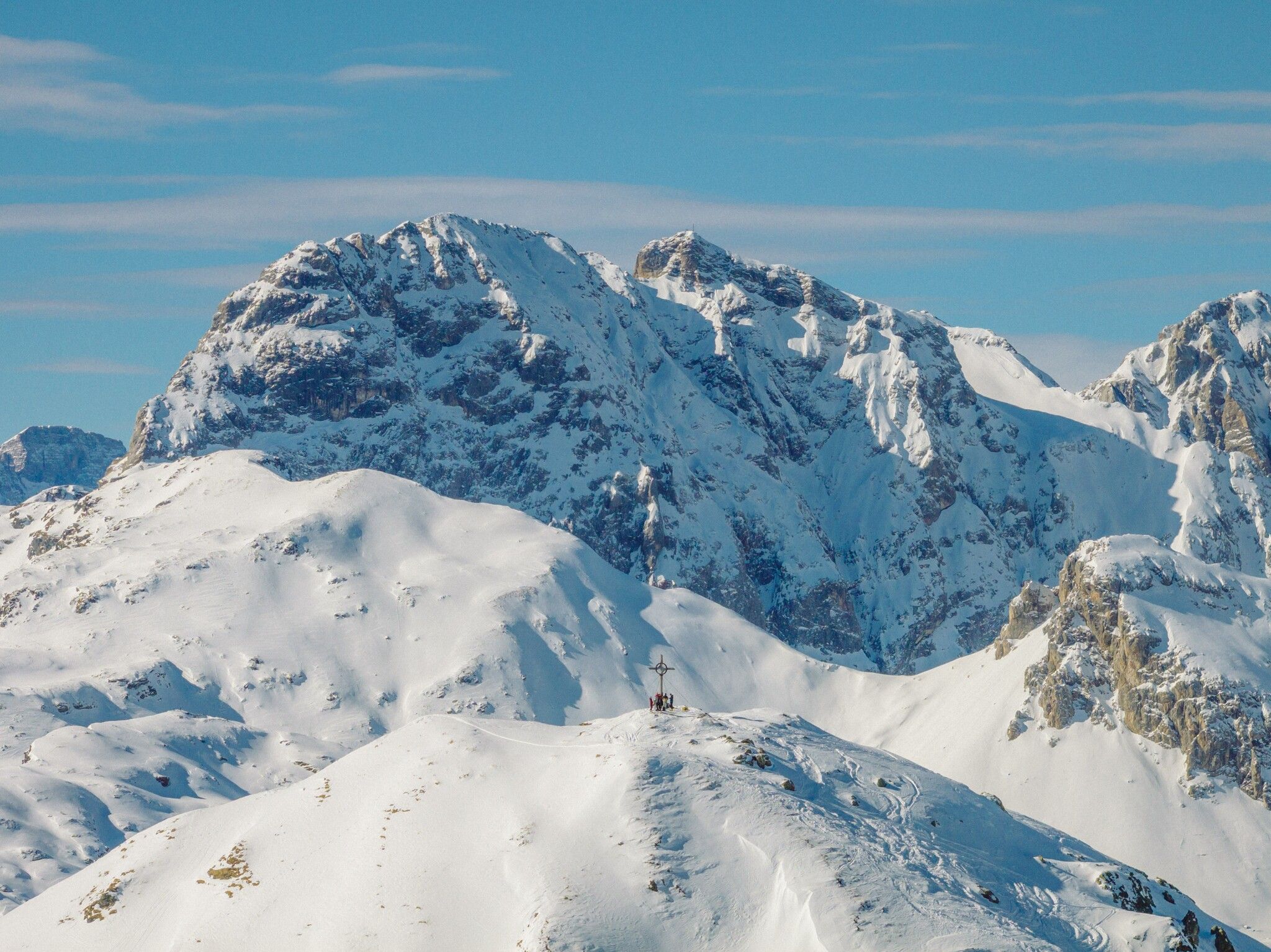
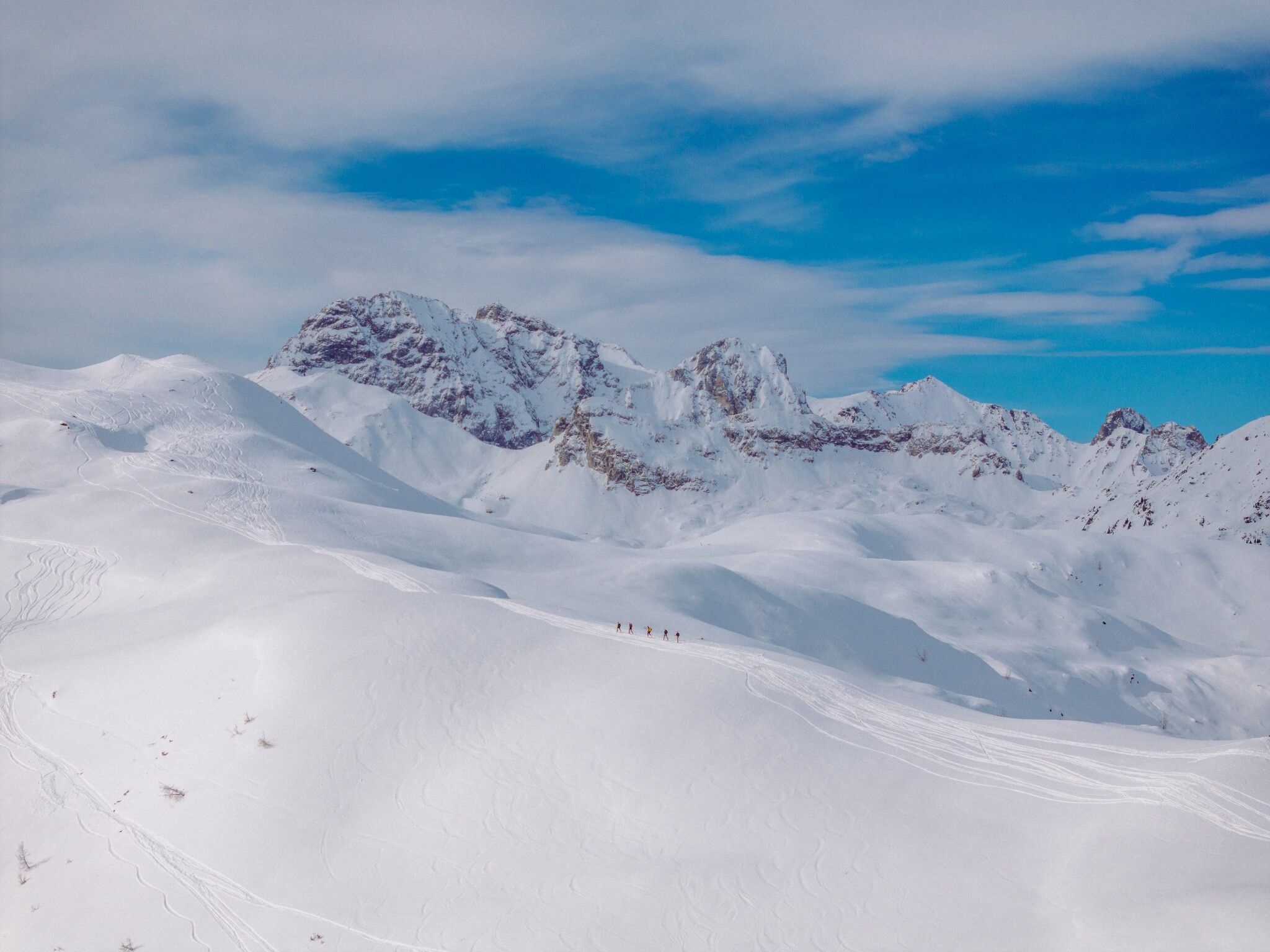
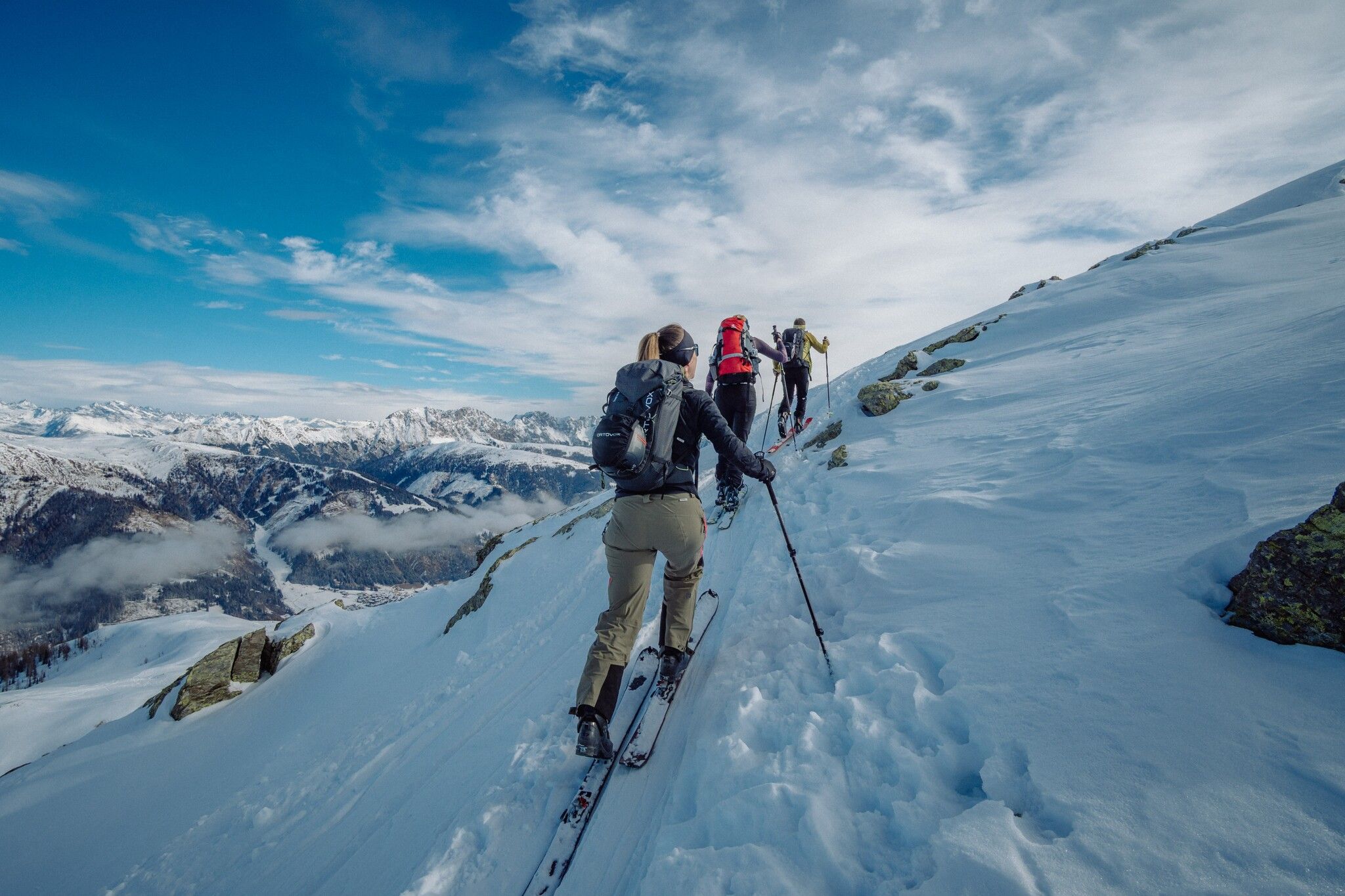
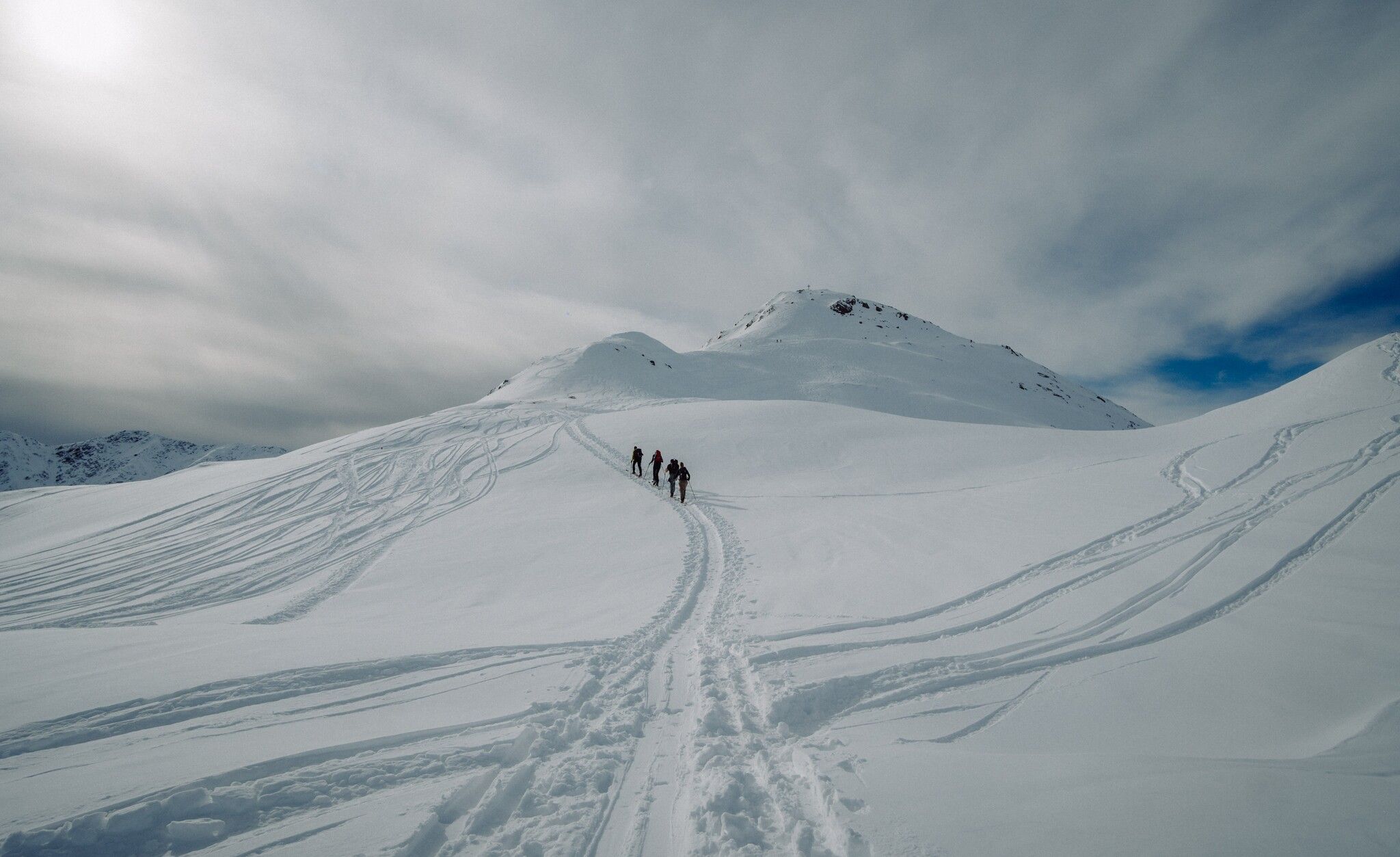
The ridge of the Hoher Bösring is in the shaded side of Obertilliach and separates Obertilliacher Tal from Leitental. The domed peak rises gently from the steep protected forest and is great for a trip in the depths of winter due to the low risk of avalanche. A forest road proceeds to the forest limit, which, depending on the snow, can be used for the descent and also makes it possible for less proficient skiers or those new to ski touring to get down safely. Starting point is the biathlon centre, around 1 kilometre to the west of Obertilliach (large car parking area). Where the slope climbs from its lowest point out of the bottom of the river and into the shaded forest, is where our tour begins (yellow signposts). Follow the slope briefly before heading into the dark forest and cutting the forest trail short by taking the mostly powder snow covered track. We get to a Jagdhüttl, which is in a romantic glade, before the track takes us back without any difficulties into open terrain. While we cross the little rise of the Zwieselegg (2169 m) the summit of the Hoher Bösring is already well visible. The short north-facing slope which follows can be tackled in just a few hairpin bends and is a key section in terms of avalanche technique (2 ½ - 3 hours from the car park). Descent along the ascent track and depending on the conditions, via the forest trail back into the valley.
Additional ski tour tips can be obtained in the ski tour guides by Thomas Mariacher. These are available here: www.grafikzloebl.at/verlag/buecher/
Mit dem Bus bis zur Haltestelle "Obertilliach Biathlonzentrum"
Mit dem Auto bis zum Biathlonzentrum Obertilliach
Parkplatz Obertilliach


